8.4 km away
Plank Walk Trail
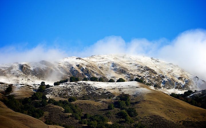
Short hike to the panoramic summit of Mount Tamalpais.
Moderate Hiking
- Distance
- 866 m
- Ascent
- 61 m
- Descent
- 61 m
Explore one of the world's most famous coastlines and the vibrant city it is home to
Hiking Moderate

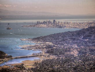
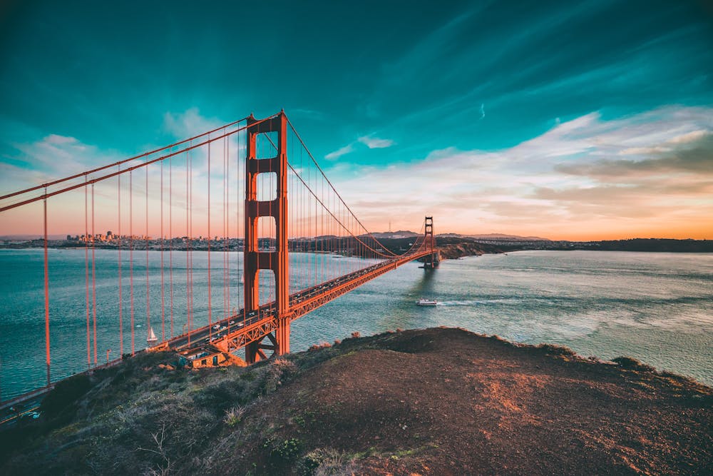
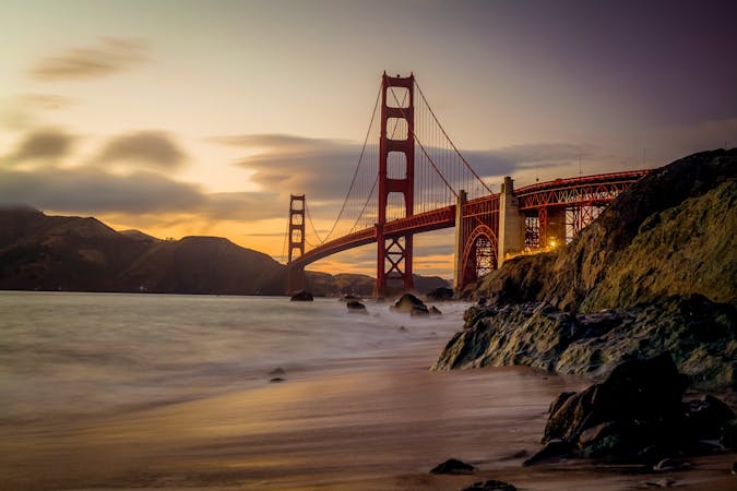
Covering over 1600 square miles, San Francisco Bay ranks as one of America's, and the world's, most recognisable sections of shoreline. From the Golden Gate bridge to the steep streets of San Francisco city and the natural wonders which lie close to both, this is a waterway which every hiker should explore one day.
The full San Franisco Bay trail stretches over 100s of miles, but this shortened version covers many of the key sites and skips much of the road walking and industrial scenery which characterises the complete trail. Investments are being made to create a wilder, more scenic San Francisco Bay trail, but for now this shorter version is more enjoyable than the extended route. Those wishing to do the full route can easily manage it, thanks to plethora of amenities which line it, but doing this trip over a long weekend is a much easier and equally good option. Equally feasible is to shorten the route shown here and pick any section to do as a day hike. Basically - you can't go wrong regardless of how much of this route you decide to hike! If you do the whole length of this trail (let alone the longer version) then there are countless options for places to stay and stock up on supplies - logistics will not be a major issue on this trip!
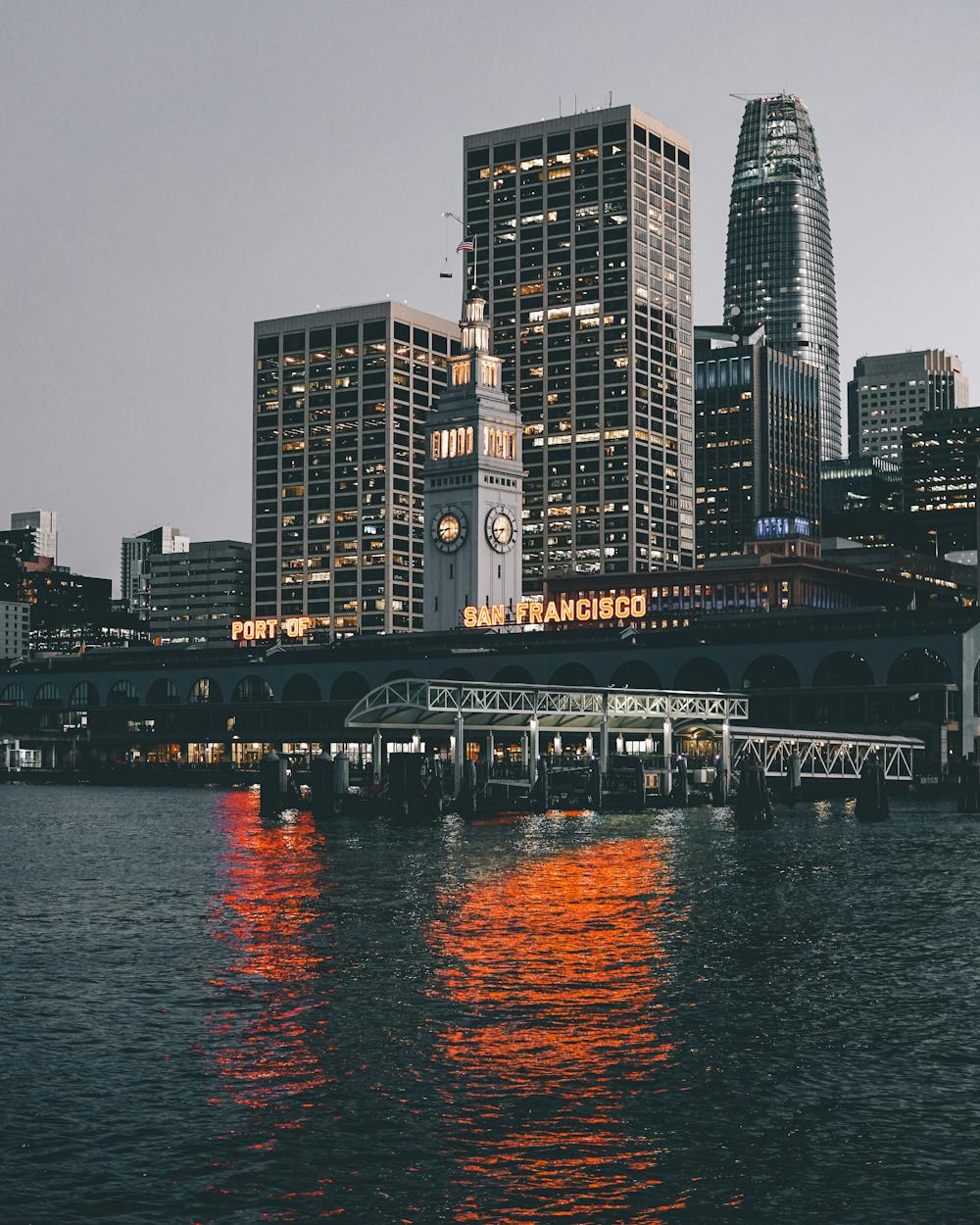
The route we've drawn goes from Pickleweed Park, a short distance from the Marin Islands Ecological Reserve, and then heads south, following the coast down through San Quention, Tiburon (from where a boat-accessed detour to Angel Island is recommended) and Sausalito to reach the Golden Gate Bridge. Crossing this world-famous landmark and then dropping into San Francisco's fascinating city centre is one of the highlights of this hike.
From the city centre continue south past Candlestick Point and down to the San Francisco Airport. We've ended the line here as it's a logical finish point, and makes simple the logistics of getting back where you need to go.
Fly/drive/train home and toast a great hike en route!
Moderate
Hiking along trails with some uneven terrain and small hills. Small rocks and roots may be present.

The trail contains some obstacles such as outcroppings and rock which could cause injury.

Close to help in case of emergency.
8.4 km away
Short hike to the panoramic summit of Mount Tamalpais.
Moderate Hiking
8.4 km away
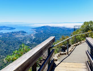
A short, easy loop around the East Peak of Mount Tamalpais that offers panoramic views of the Bay Area and its landmarks.
Easy Hiking
8.5 km away
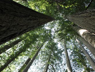
The locally famous trail and race course from Mill Valley to Stinson Beach, through redwood forest and offering hilltop coastal views.
Difficult Hiking
12 routes · Hiking
8 routes · Hiking
7 routes · Hiking