43 m away
Plank Walk Trail
Short hike to the panoramic summit of Mount Tamalpais.
Moderate Hiking
- Distance
- 866 m
- Ascent
- 61 m
- Descent
- 61 m
A short, easy loop around the East Peak of Mount Tamalpais that offers panoramic views of the Bay Area and its landmarks.
Hiking Easy

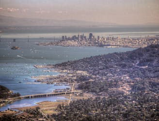
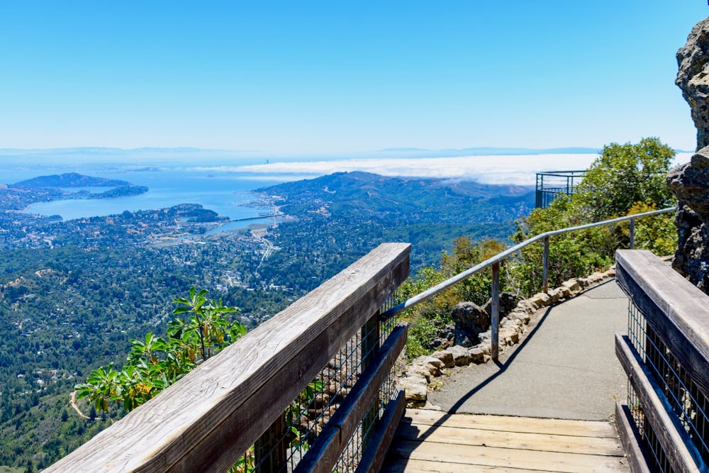
If you are looking for a short and easy hike with stunning views of the Bay Area, the Verna Dunshee hiking trail is a great option. This 0.7-mile loop trail circles around the East Peak of Mount Tamalpais, the highest point in Marin County. You can enjoy 360-degree views of San Francisco, Point Reyes, the Farallon Islands, and Mount Diablo from the paved trail or the viewing platform. You can also see the historic fire lookout station and the gravity car barn that commemorate the old Mount Tamalpais Scenic Railway.
The Verna Dunshee hiking trail is named after a leading activist who helped preserve open space for parklands in Marin County. The trail is wheelchair and stroller friendly, and dogs are allowed on leash. The trailhead is located at the parking lot near the visitor center, where you can find restrooms, picnic tables, and information. There is a parking fee of $8 per vehicle.
The trail is open year-round and is beautiful to visit anytime. The best time to go is on a clear day when you can see far and wide. The trail can get crowded on weekends and holidays, so try to go early or on weekdays. The trail is also a great place to watch the sunrise or sunset over the bay.
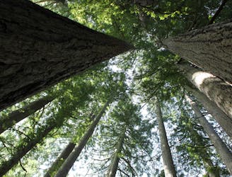
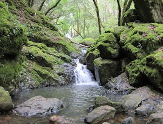
The Verna Dunshee hiking trail is a perfect introduction to Mount Tamalpais State Park, a majestic mountain that offers many more hiking opportunities for all levels. Whether you want to explore the redwood forests, oak woodlands, grasslands, or chaparral, you will find a trail that suits your taste.
Source: Verna Dunshee Trail - Mt Tamalpais Summit - 0.7 miles. http://protrails.com/trail/381/san-francisco-marin-headlands-mt-tamalpais-point-reyes-verna-dunshee-trail-mt-tamalpais-summit. Friends of Mt Tam. https://www.friendsofmttam.org/activities/hiking/verna-dunshee-loop. Conversation with Bing Chat
Easy
Walking along a well-kept trail that’s mostly flat. No obstacles are present.

The path is on completely flat land and potential injury is limited to falling over.
Close to help in case of emergency.
43 m away
Short hike to the panoramic summit of Mount Tamalpais.
Moderate Hiking
3.4 km away
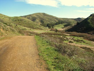
The locally famous trail and race course from Mill Valley to Stinson Beach, through redwood forest and offering hilltop coastal views.
Difficult Hiking
3.4 km away
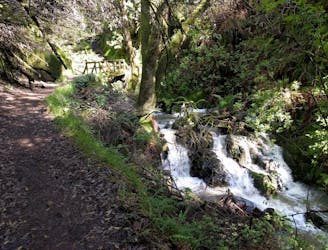
Lesser-traveled loop with spectacular and varied scenery—lush forest, open hillsides, and a cascading creek.
Moderate Hiking
4.1 km away
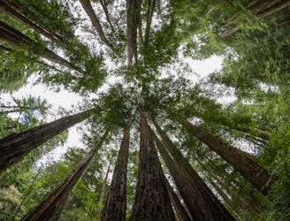
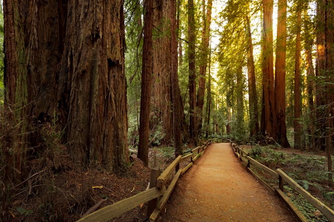
A beautiful loop connecting some of the best trails among the towering redwood trees in Muir Woods National Monument.
Moderate Hiking
5.2 km away
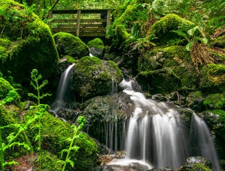
A bounty of waterfalls and a peaceful picnic area on Cataract Creek.
Difficult Hiking
6.2 km away
An excellent bang-for-your-buck loop with a variety of terrain and scenery.
Difficult Hiking
8.4 km away
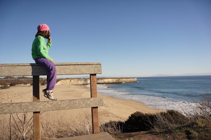
Popular hike through a verdant valley to a beach in a cliff-lined beach.
Easy Hiking
8.4 km away

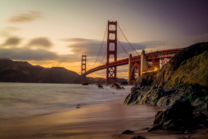
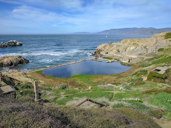
Explore one of the world's most famous coastlines and the vibrant city it is home to
Moderate Hiking
12 routes · Hiking
8 routes · Hiking
5 routes · Hiking
7 routes · Hiking

13 routes · Hiking · Trail Running
8 routes · Hiking · Road Biking

14 routes · Hiking