2.8 km away
Steep Ravine - Matt Davis Trail Loop
An excellent bang-for-your-buck loop with a variety of terrain and scenery.
Difficult Hiking
- Distance
- 11 km
- Ascent
- 534 m
- Descent
- 534 m
Lesser-traveled loop with spectacular and varied scenery—lush forest, open hillsides, and a cascading creek.
Hiking Moderate

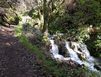
Cataract Creek is a very popular hiking destination near Mount Tamalpais. This loop includes some of the waterfalls on the creek, but also utilizes lesser-traveled trails to explore more of the mountain’s slopes. It begins from Rock Springs Trailhead which, unlike most trailheads in the area, this one has plentiful parking.
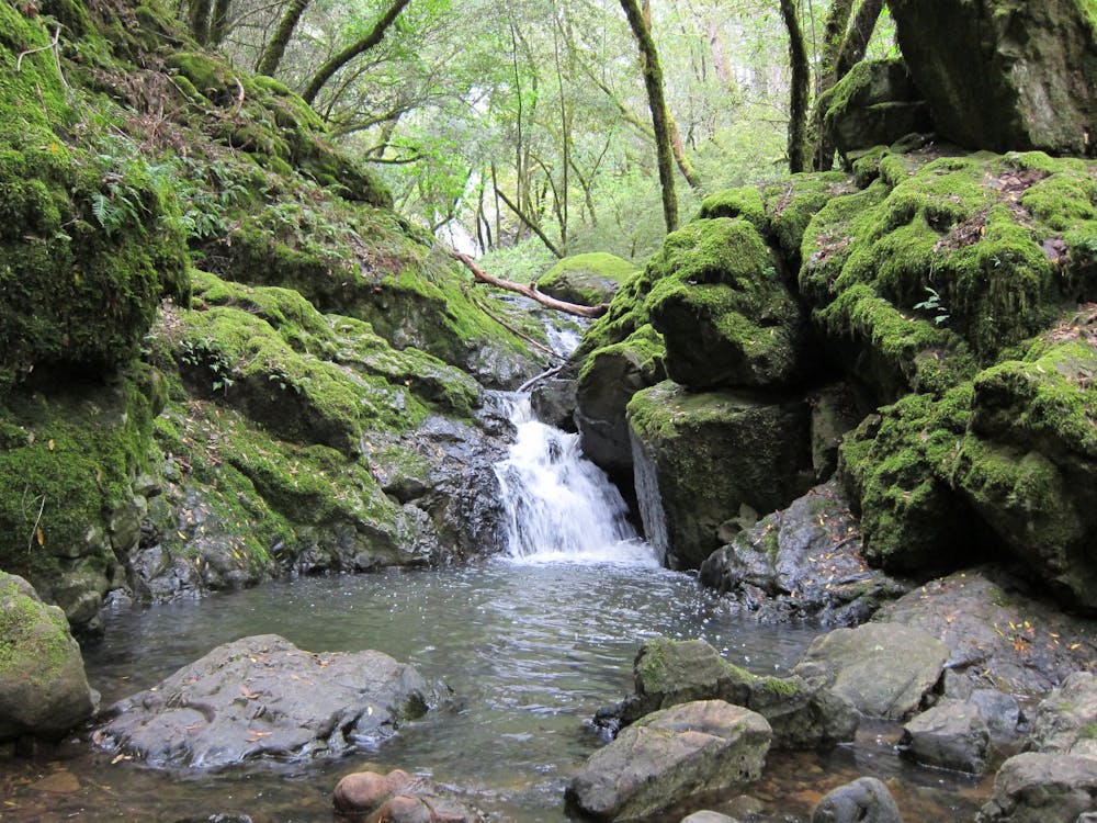
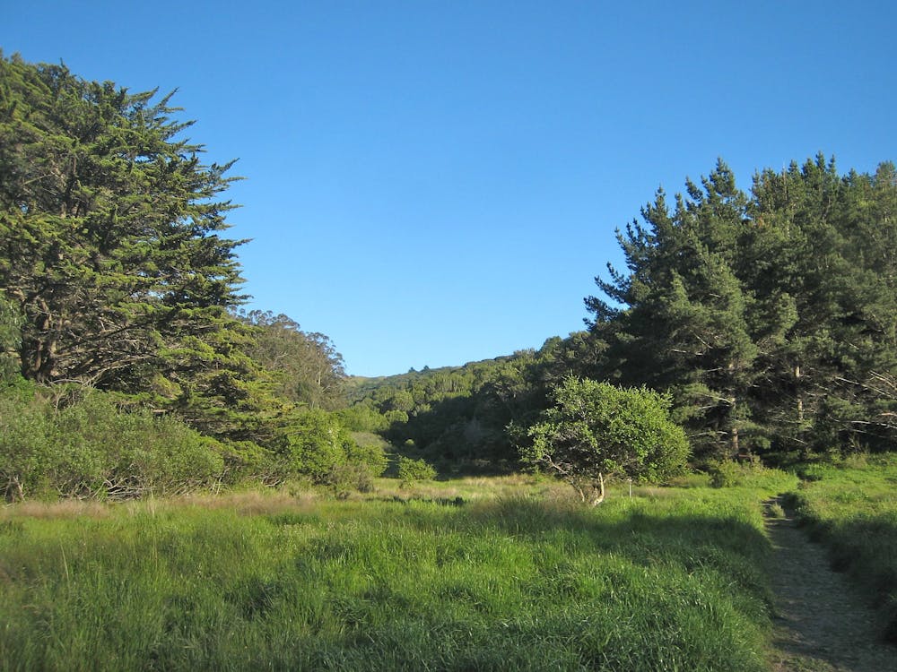
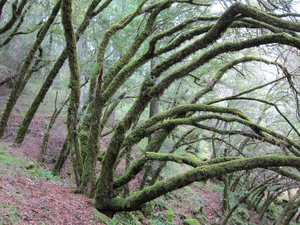
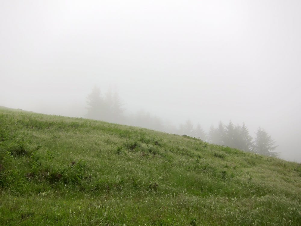
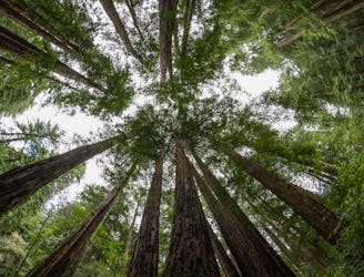
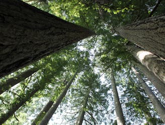
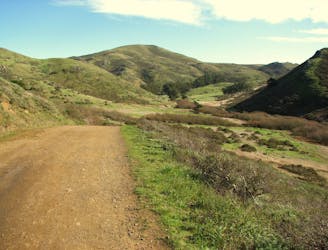
You’ll encounter many different forest types over the course of this loop. Tall stands of second-growth redwoods in the canyons, leafy maples and an understory of ferns near the creek, and oak woodlands on the hillsides. There’s also mountain meadows that grant wide-open views on clear days.
First you’ll come to the creekside picnic area at Laurel Dell and Cataract Falls just beyond. Next comes a scenic traverse of a hillside meadow on High Marsh Trail, then meandering through young redwood groves. You’ll find more flowing water in Swede George Creek, then climb an open ridgeline and come to another picnic area at Potrero Meadow. A patchwork of forest and field, with intermittent hilltop views, leads back to the starting point via Benstein Trail.
Sources: https://www.onetam.org/maps-trails/cataract-trail https://www.parks.ca.gov/pages/471/files/MountTamalpaisSPFinalWebLayout110816.pdf
Moderate
Hiking along trails with some uneven terrain and small hills. Small rocks and roots may be present.

The trail contains some obstacles such as outcroppings and rock which could cause injury.
Away from help but easily accessed.
2.8 km away
An excellent bang-for-your-buck loop with a variety of terrain and scenery.
Difficult Hiking
3.4 km away
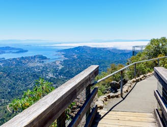
A short, easy loop around the East Peak of Mount Tamalpais that offers panoramic views of the Bay Area and its landmarks.
Easy Hiking
3.5 km away
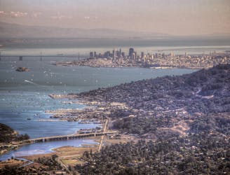
Short hike to the panoramic summit of Mount Tamalpais.
Moderate Hiking
3.6 km away
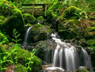
A bounty of waterfalls and a peaceful picnic area on Cataract Creek.
Difficult Hiking
4.4 km away
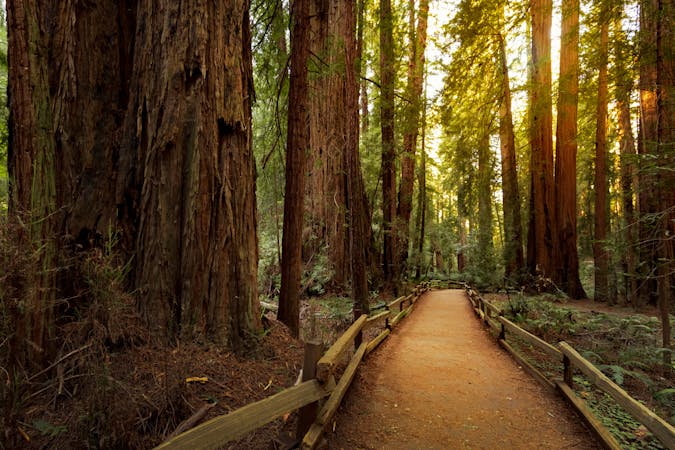
A beautiful loop connecting some of the best trails among the towering redwood trees in Muir Woods National Monument.
Moderate Hiking
5.2 km away
The locally famous trail and race course from Mill Valley to Stinson Beach, through redwood forest and offering hilltop coastal views.
Difficult Hiking
8.8 km away
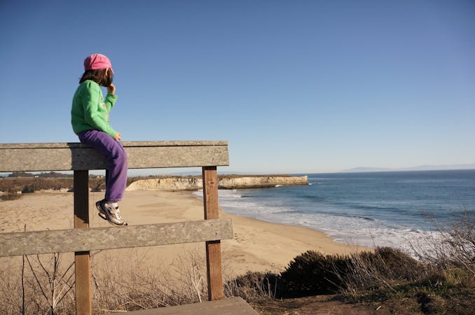
Popular hike through a verdant valley to a beach in a cliff-lined beach.
Easy Hiking
12 routes · Hiking
8 routes · Hiking
5 routes · Hiking
7 routes · Hiking

13 routes · Hiking · Trail Running
8 routes · Hiking · Road Biking

14 routes · Hiking