43 m away
Verna Dunshee Loop
A short, easy loop around the East Peak of Mount Tamalpais that offers panoramic views of the Bay Area and its landmarks.
Easy Hiking
- Distance
- 1.2 km
- Ascent
- 18 m
- Descent
- 18 m
Short hike to the panoramic summit of Mount Tamalpais.
Hiking Moderate
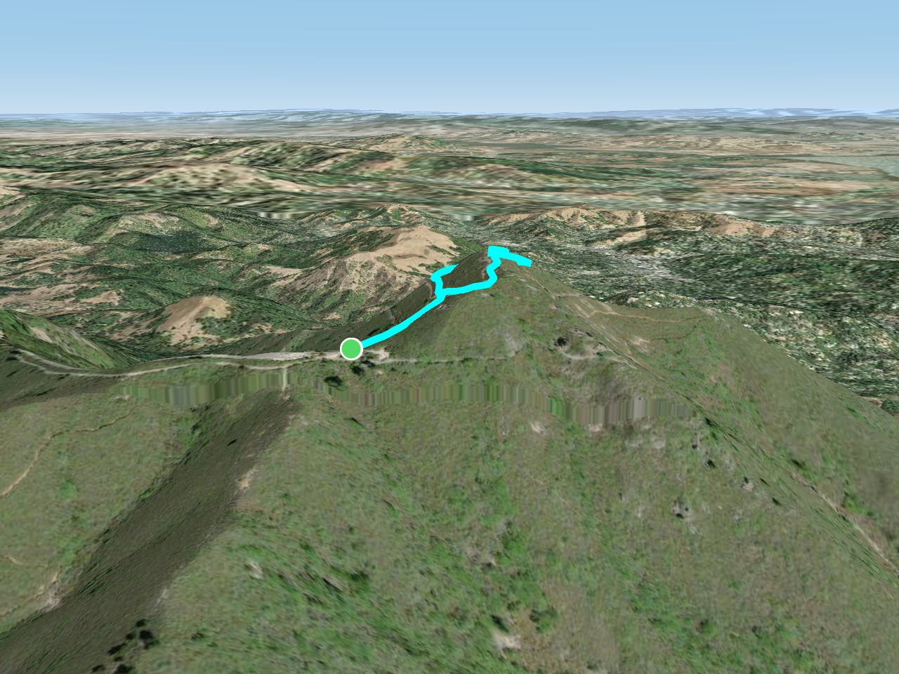
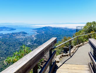
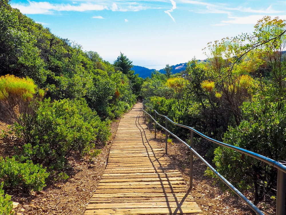
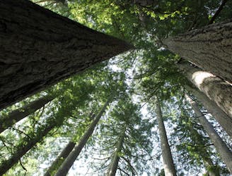
This short but somewhat steep loop leads from the state park visitor center to the top of Mount Tam’s East Peak. Along the trail you will get great views in all directions around the mountain. The trail is named for the boardwalk at its beginning, but this soon leads to a regular dirt and rock path that ascends more steeply.
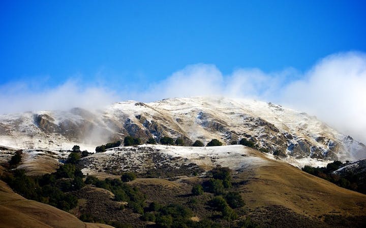
This trail is a great tour of the mountain’s ecology and geology, even on a foggy or hazy day when views are limited. The vegetation type is chaparral, dominated by hardy shrubs like manzanita and sturdy trees like madrone and oak. In spring you’ll see wildflowers like the blue lupines and yellow monkey flowers. You’ll notice many rocks along the trail are greenish in color, meaning they contain serpentine, a certain kind of metamorphic rock. The unique configuration of serpentine that occurs on Tamalpais is the state rock of California.
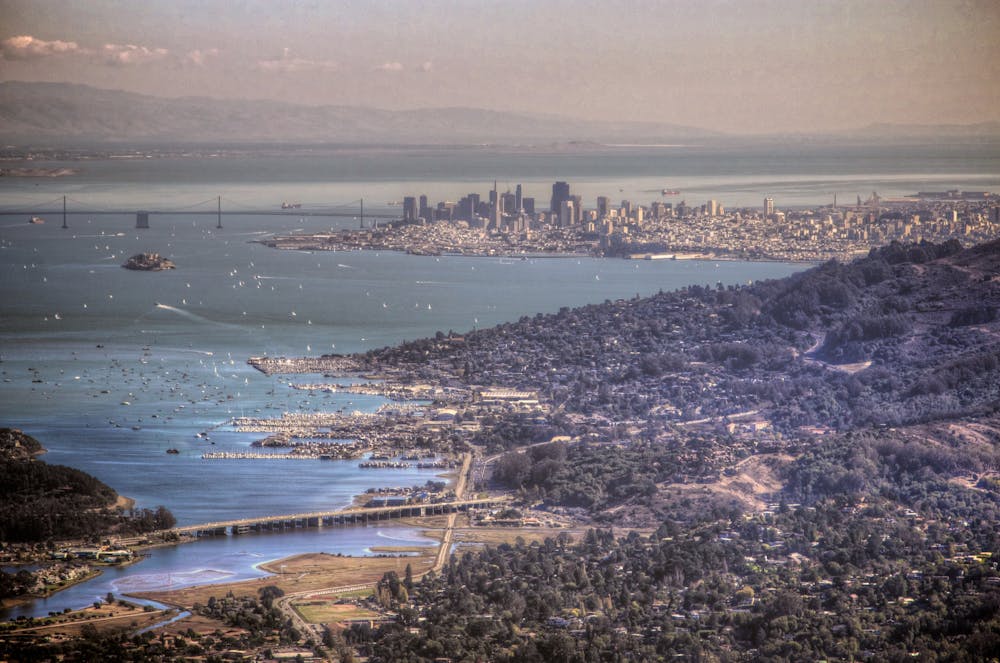
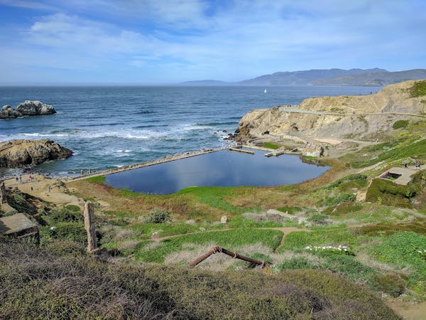
On a clear day, views stretch over green rolling hills all around, blue reservoirs to the northwest, the Pacific Ocean to the south, San Francisco Bay, and the city skyline to the east. The trail leads to the mountain’s summit, where a historic fire lookout stands. The tower is still staffed in order to spot fires and is not open to the public, but you’ll get quite a commanding view from its base.
Sources: http://www.friendsofmttam.org/wp-content/uploads/Plank-Walk-Brochure2015-05-01.pdf http://www.friendsofmttam.org/park/facts.html https://www.parks.ca.gov/pages/471/files/MountTamalpaisSPFinalWebLayout110816.pdf
Moderate
Hiking along trails with some uneven terrain and small hills. Small rocks and roots may be present.

The path is on completely flat land and potential injury is limited to falling over.
Close to help in case of emergency.
43 m away
A short, easy loop around the East Peak of Mount Tamalpais that offers panoramic views of the Bay Area and its landmarks.
Easy Hiking
3.3 km away
The locally famous trail and race course from Mill Valley to Stinson Beach, through redwood forest and offering hilltop coastal views.
Difficult Hiking
3.5 km away
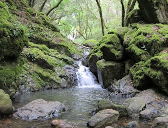
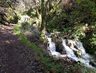
Lesser-traveled loop with spectacular and varied scenery—lush forest, open hillsides, and a cascading creek.
Moderate Hiking
4.1 km away
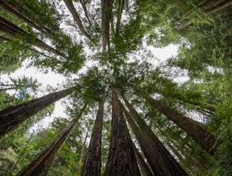
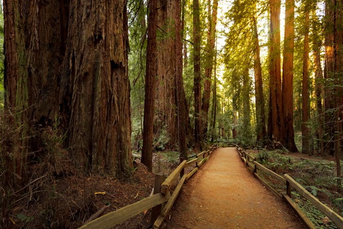
A beautiful loop connecting some of the best trails among the towering redwood trees in Muir Woods National Monument.
Moderate Hiking
5.2 km away
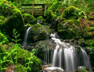
A bounty of waterfalls and a peaceful picnic area on Cataract Creek.
Difficult Hiking
6.3 km away
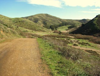
An excellent bang-for-your-buck loop with a variety of terrain and scenery.
Difficult Hiking
8.4 km away
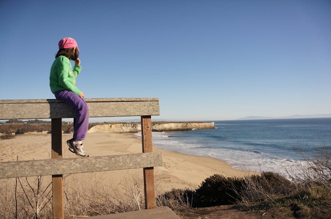
Popular hike through a verdant valley to a beach in a cliff-lined beach.
Easy Hiking
8.4 km away

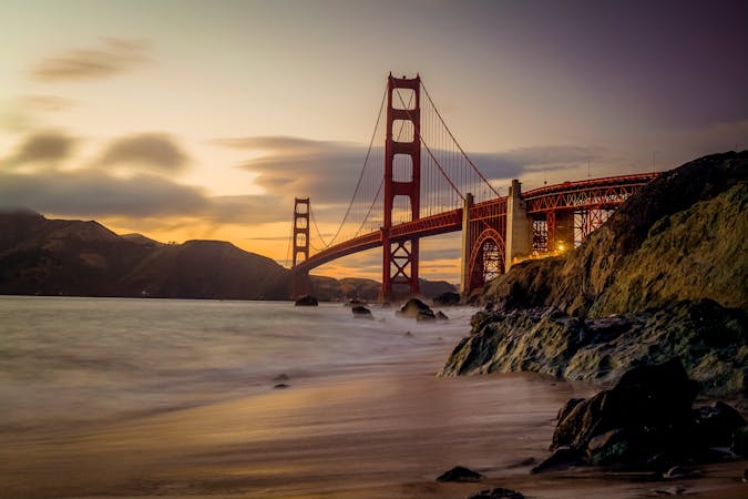
Explore one of the world's most famous coastlines and the vibrant city it is home to
Moderate Hiking
12 routes · Hiking
8 routes · Hiking
5 routes · Hiking
7 routes · Hiking

13 routes · Hiking · Trail Running
8 routes · Hiking · Road Biking

14 routes · Hiking