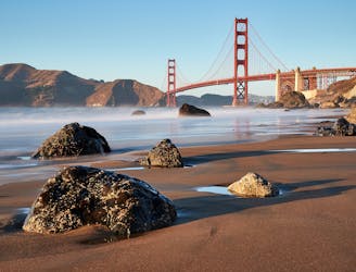
2.9 km away
Wolf Ridge and Hill 88 Loop
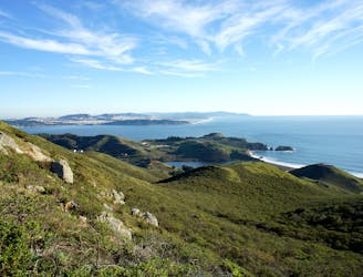
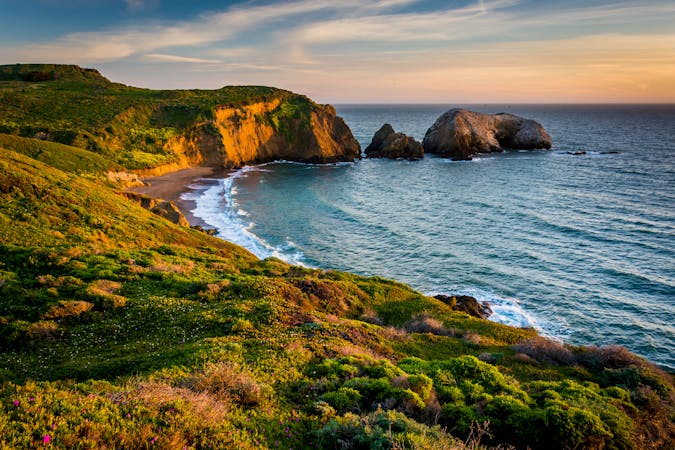
Amazing views of San Francisco and some interesting war relics near the Golden Gate Bridge.
Moderate Hiking
- Distance
- 8.2 km
- Ascent
- 331 m
- Descent
- 331 m
Popular hike through a verdant valley to a beach in a cliff-lined beach.
Hiking Easy

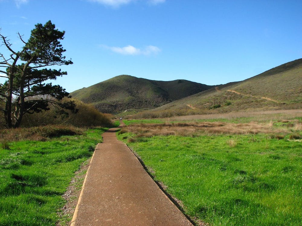
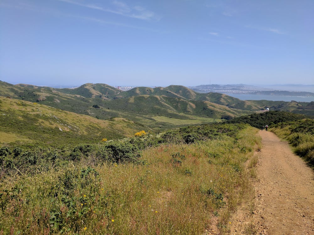
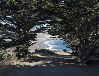
Tennessee Valley is a glen of green among rolling hills, with a stream that trickles with water toward the sea. Where it meets the blue waves is a dark-sand beach cradled by golden cliffs, one of which has a natural window through to the sky. A wide and mostly flat dirt path leads through the valley, making this sheltered cove accessible to a wide range of hikers, including families. Dogs are not allowed on the trail, however.

Tennessee Valley is known for its diversity of plants and animals. The stream flows most of the year, nourishing many types of trees that grow taller here than elsewhere on the Marin Headlands coast. The valley is especially verdant in spring and colored with wildflowers like blue lupines, orange monkey flowers, and yellow poppies. Summer brings drier air and golden grasses, but the trees and shrubs remain quite green until winter.
You may spot many kinds of birds including hawks and eagles. You might also see rabbits, deer, and coyotes. Near the mouth of the valley is a wetland and pond where you can find waterfowl and seabirds, sometimes in large numbers.
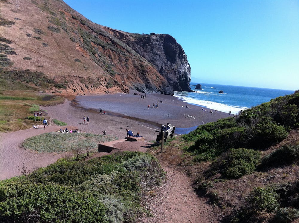
Low tide is the best time to explore the beach, so time your hike accordingly. When the water is out, you can see the engine of the wrecked ship—The SS Tennessee—for which the cove is named. You can also walk along the sand to explore more cliffs and alcoves along the shore, just be careful that you don’t get cut off by the rising tide.
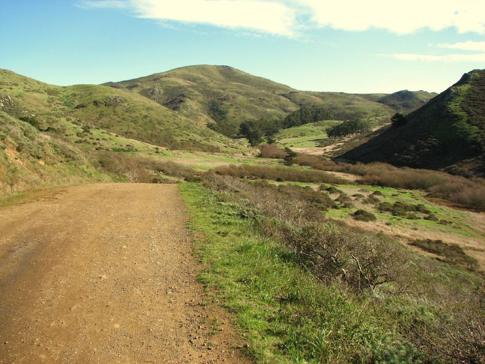
There are plenty of opportunities for longer hikes as well. Coastal Trail, Fox Trail, Chaparral Trail, and others climb out of the valley to elevated views over the hills and ocean. Look for signed junctions along Tennessee Valley Trail to access these side hikes.
Sources: https://www.nps.gov/goga/planyourvisit/tennesseevalley.htm https://www.nps.gov/goga/planyourvisit/upload/mapMAHE150429web.pdf
Easy
Walking along a well-kept trail that’s mostly flat. No obstacles are present.

The path is on completely flat land and potential injury is limited to falling over.

Away from help but easily accessed.
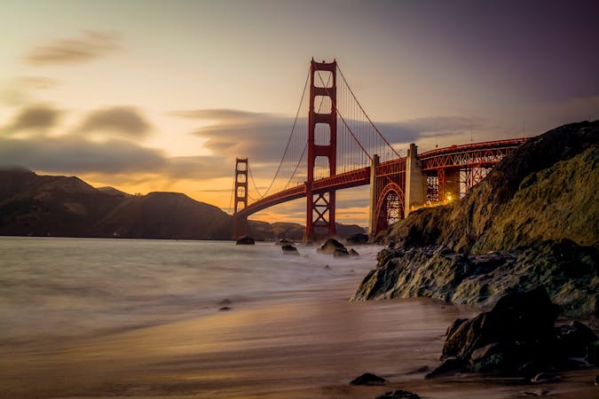
2.9 km away
Amazing views of San Francisco and some interesting war relics near the Golden Gate Bridge.
Moderate Hiking
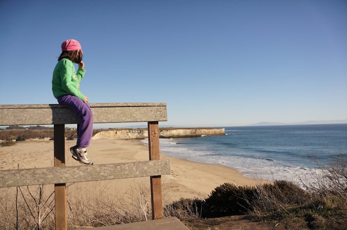
3.2 km away
Hike from Rodeo Beach to a more secluded viewpoint along coastal cliffs.
Easy Hiking
3.2 km away
Travel up and down panoramic hills above the sea, in between two of Marin County's best beaches
Difficult Hiking
4.3 km away
Exciting walk through a tunnel and over a suspension bridge to a lighthouse on the tip of Marin Headlands.
Easy Hiking
4.5 km away
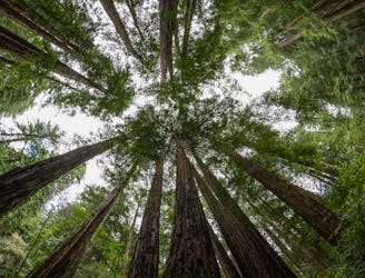
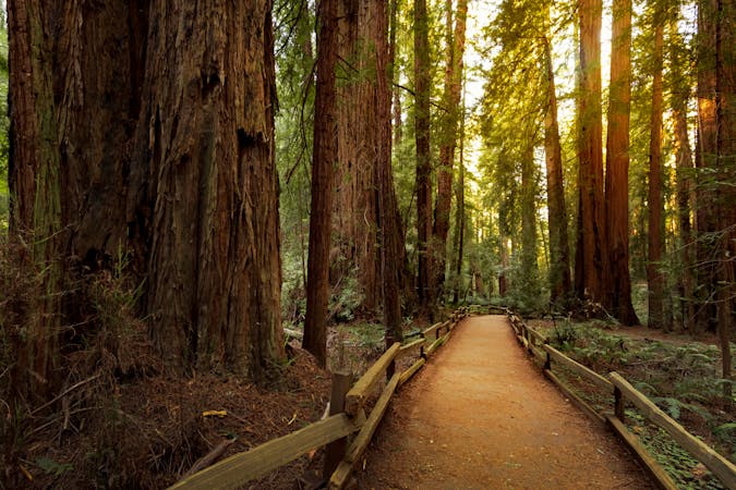
A beautiful loop connecting some of the best trails among the towering redwood trees in Muir Woods National Monument.
Moderate Hiking
5.2 km away
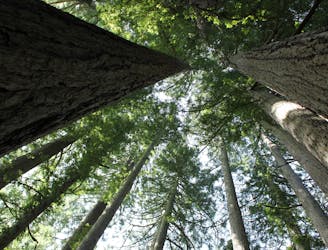
The locally famous trail and race course from Mill Valley to Stinson Beach, through redwood forest and offering hilltop coastal views.
Difficult Hiking
8.4 km away
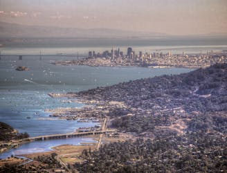
Short hike to the panoramic summit of Mount Tamalpais.
Moderate Hiking
8.4 km away
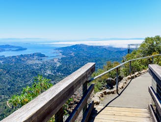
A short, easy loop around the East Peak of Mount Tamalpais that offers panoramic views of the Bay Area and its landmarks.
Easy Hiking
8.7 km away
Explore history and scenery along the dramatic coastline near the Golden Gate Bridge.
Difficult Hiking
8.8 km away
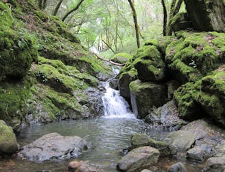
Lesser-traveled loop with spectacular and varied scenery—lush forest, open hillsides, and a cascading creek.
Moderate Hiking
12 routes · Hiking
8 routes · Hiking
7 routes · Hiking
5 routes · Hiking
7 routes · Hiking

13 routes · Hiking · Trail Running
8 routes · Hiking · Road Biking

14 routes · Hiking