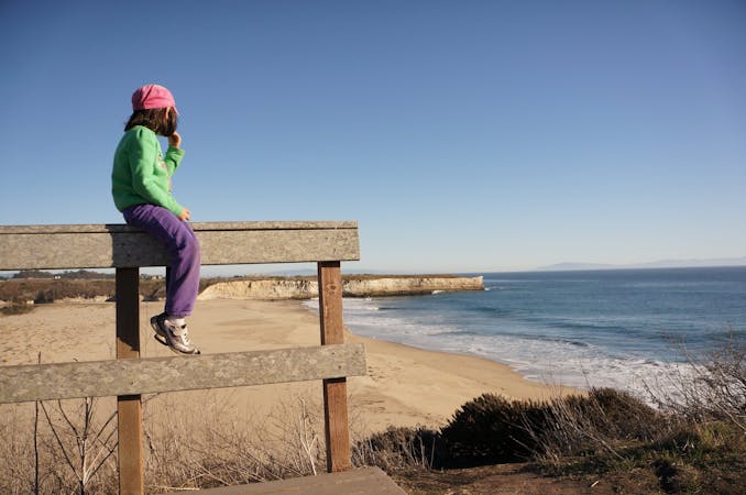
577 m away
Tennessee Point
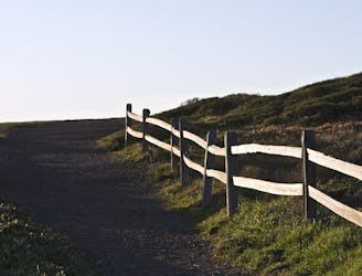
Hike from Rodeo Beach to a more secluded viewpoint along coastal cliffs.
Easy Hiking
- Distance
- 2.6 km
- Ascent
- 79 m
- Descent
- 79 m
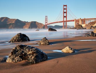
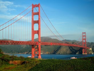
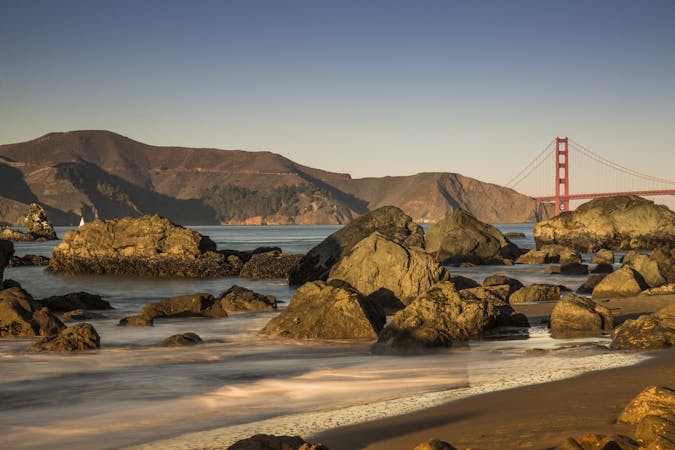
Amazing views of San Francisco and some interesting war relics near the Golden Gate Bridge.
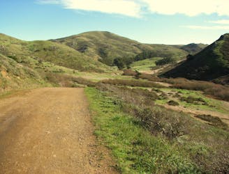
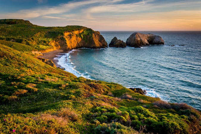
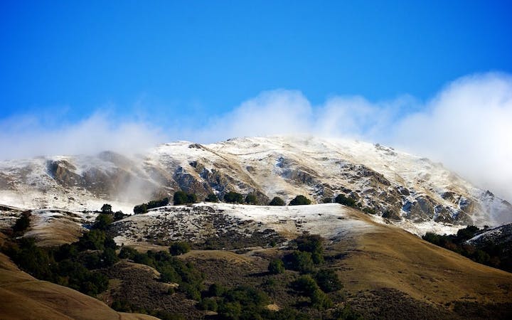
Hiking Moderate

This is one of the best moderate hikes in Marin Headlands. Clear weather is ideal, so you can see the distant views, but foggy days can be enjoyable, too. Apart from the vistas, it features war bunkers, hillside rock outcrops, spring wildflowers, and a chance at spotting wildlife.
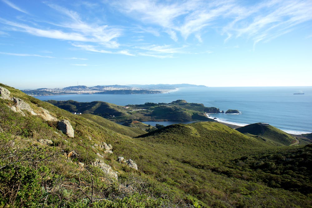
Park near the Marine Mammal Center, then take the paved trail (also a service road) that heads uphill. This is the Coastal Trail, and eventually it turns to a narrow dirt path with some very steep, but short, sections. From the treeless, windswept slopes you’ll look over Rodeo Beach, the mouth of San Francisco Bay, and the city beyond. You’ll also pass several old defense structures, relics from the era of World War II.
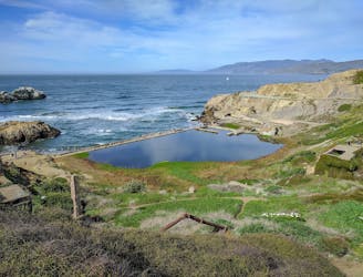
After a final section of wooden stairs and rocky surface, the trail rejoins pavement and a mellow gradient continues to the top of Hill 88. This used to be a defense command center but is now a dilapidated cluster of mural-painted buildings on a panoramic hilltop. It’s a popular spot for photographers, and definitely worth lingering if the weather is nice.
Backtrack to the 4-way junction where Wolf Ridge Trail splits from Coastal Trail, and take Wolf Ridge. It leads to Miwok Trail, a wide dirt path that meanders down the uncrowded backside of the hill, returning to Bunker Road and completing the loop.
Sources: https://www.nps.gov/goga/planyourvisit/upload/mapMAHE150429web.pdf
Moderate
Hiking along trails with some uneven terrain and small hills. Small rocks and roots may be present.

The trail contains some obstacles such as outcroppings and rock which could cause injury.

Close to help in case of emergency.
577 m away
Hike from Rodeo Beach to a more secluded viewpoint along coastal cliffs.
Easy Hiking
578 m away
Travel up and down panoramic hills above the sea, in between two of Marin County's best beaches
Difficult Hiking
1.4 km away
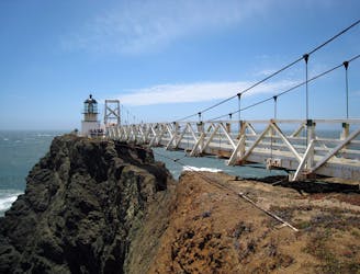
Exciting walk through a tunnel and over a suspension bridge to a lighthouse on the tip of Marin Headlands.
Easy Hiking
2.9 km away
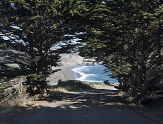
Popular hike through a verdant valley to a beach in a cliff-lined beach.
Easy Hiking
6.2 km away
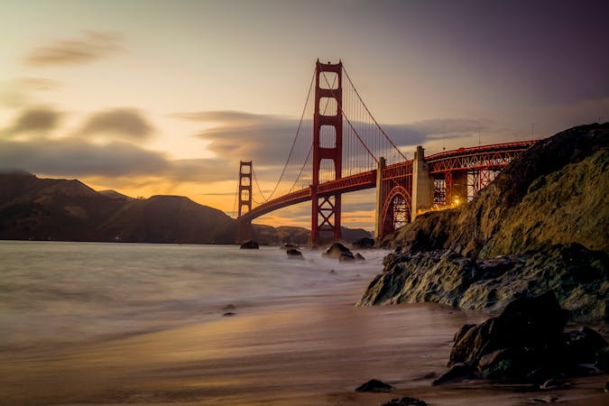
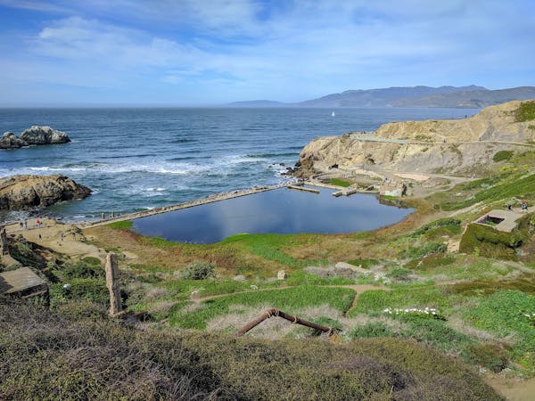
On the Lands End Trail you'll stroll through historic Lands End, in a beautiful forest, atop high sea cliffs, with lofty views of the Golden Gate Bridge.
Moderate Hiking
6.3 km away
Explore history and scenery along the dramatic coastline near the Golden Gate Bridge.
Difficult Hiking
6.4 km away
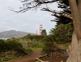
A path that links cliff-top views, sandy beaches, cypress groves, historic war defenses, and the entrance to the Golden Gate Bridge.
Easy Hiking
7.1 km away
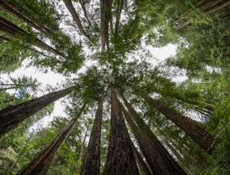
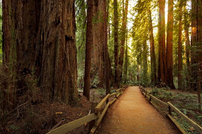
A beautiful loop connecting some of the best trails among the towering redwood trees in Muir Woods National Monument.
Moderate Hiking
8.1 km away
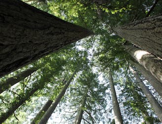
The locally famous trail and race course from Mill Valley to Stinson Beach, through redwood forest and offering hilltop coastal views.
Difficult Hiking
9.1 km away
Stroll through an urban park with many activities, and enjoy views of the bay and the Golden Gate Bridge.
Easy Hiking
12 routes · Hiking
8 routes · Hiking
7 routes · Hiking
7 routes · Hiking · Road Biking · Trail Running
5 routes · Hiking
7 routes · Hiking

13 routes · Hiking · Trail Running
8 routes · Hiking · Road Biking

14 routes · Hiking