2 m away
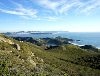
Coastal Trail: Rodeo Beach to Muir Beach
Travel up and down panoramic hills above the sea, in between two of Marin County's best beaches
Difficult Hiking
- Distance
- 19 km
- Ascent
- 1 km
- Descent
- 1 km
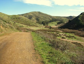
Hike from Rodeo Beach to a more secluded viewpoint along coastal cliffs.
Hiking Easy

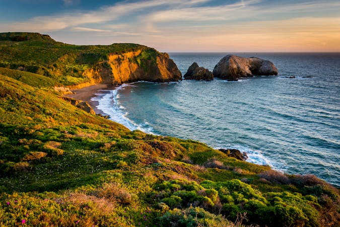
Rodeo Beach is a top destination in the Marin Headlands, popular for its uniquely dark-colored sand, surrounding cliffs, and sea stacks rising from the waves. When visiting Rodeo Beach, you can take a short hike to Tennessee Point for even better coastal views. Tennessee Point is an overlook on the sea cliffs nearby, reachable by a short uphill hike on a wide dirt path. Along the way, you’ll see a few old bunkers, part of the old coastal defense system that is so prevalent in Marin Headlands.
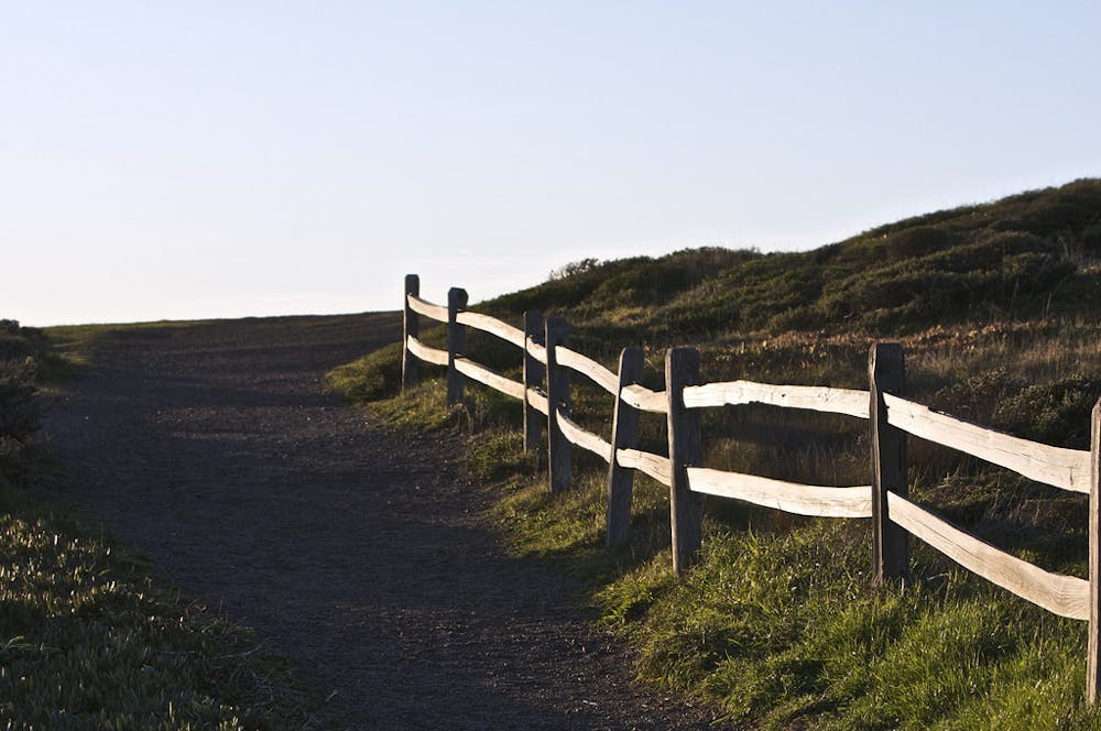
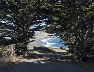
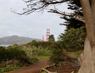
Begin by walking up the paved road at the north end of Rodeo Beach, pass the gate that closes this road to vehicles, then turn on the dirt path that heads toward the ocean. Right away the trail takes one wide switchback uphill, where you’ll get a great look down on Rodeo Beach and Battery Alexander atop the cliffs beyond.
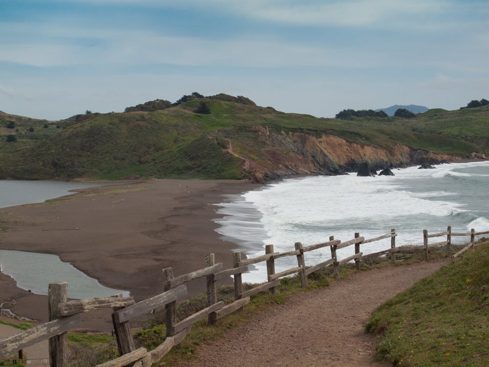
At the top of the switchback, the trail hugs the cliff line and you can look down on a tight, triangular cove with a spit of sand called Hawktail Beach. From there, Tennessee Point is in sight up ahead, if the air isn’t too foggy. The vegetation on these coastal hills are all low shrubs and grasses, so the views are wide open on a clear day. The plants turn their greenest in winter, and by early spring are usually flecked with orange and blue wildflowers.
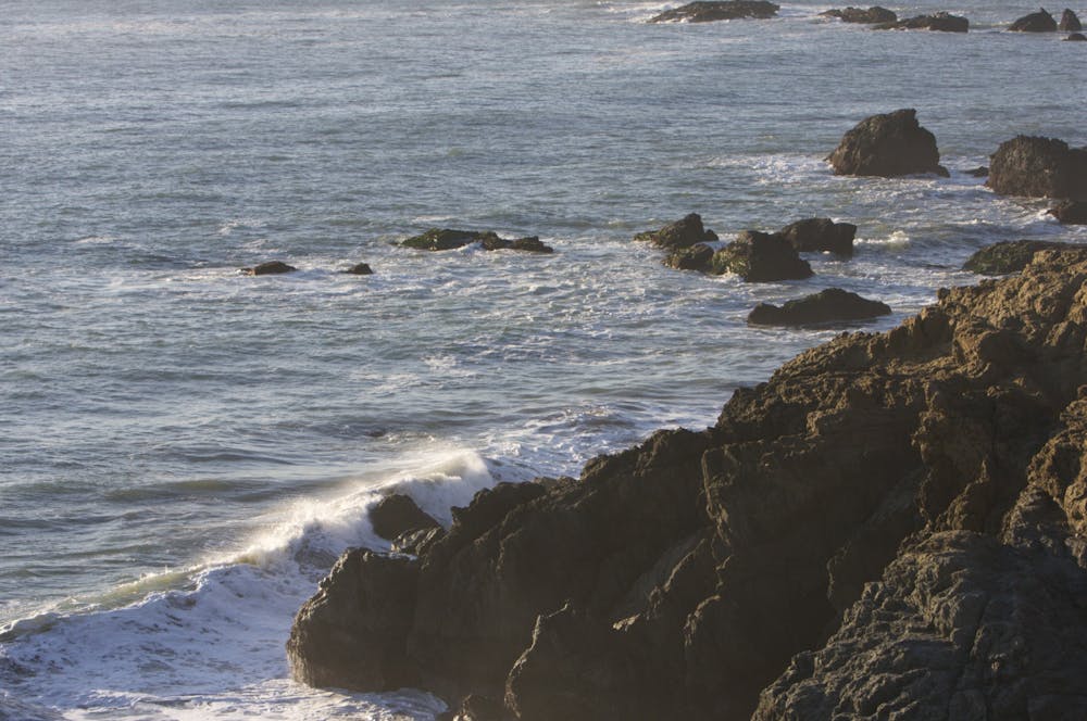
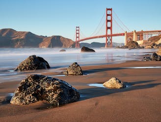
Continue along rolling terrain atop the cliffs to reach the broad vista atop Tennessee Point. From there, you can see back toward Rodeo Beach and past it to Point Bonita Lighthouse and the mouth of San Francisco Bay. On the other side of the point, you’ll look down on Tennessee Cove and across at its tall cliffs.
Source: https://www.nps.gov/goga/planyourvisit/upload/mapMAHE150429web.pdf
Easy
Walking along a well-kept trail that’s mostly flat. No obstacles are present.

The path is on completely flat land and potential injury is limited to falling over.
Close to help in case of emergency.
2 m away
Travel up and down panoramic hills above the sea, in between two of Marin County's best beaches
Difficult Hiking
577 m away
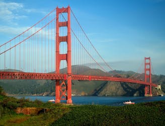
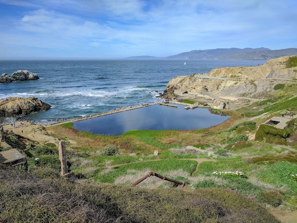
Amazing views of San Francisco and some interesting war relics near the Golden Gate Bridge.
Moderate Hiking
1.4 km away
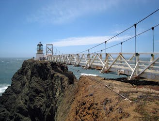
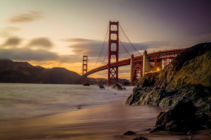
Exciting walk through a tunnel and over a suspension bridge to a lighthouse on the tip of Marin Headlands.
Easy Hiking
3.2 km away
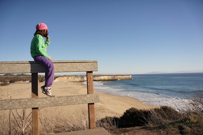
Popular hike through a verdant valley to a beach in a cliff-lined beach.
Easy Hiking
6.2 km away
On the Lands End Trail you'll stroll through historic Lands End, in a beautiful forest, atop high sea cliffs, with lofty views of the Golden Gate Bridge.
Moderate Hiking
6.6 km away
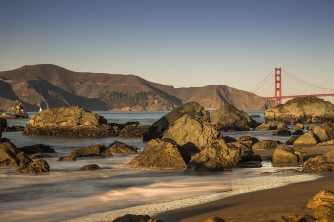
Explore history and scenery along the dramatic coastline near the Golden Gate Bridge.
Difficult Hiking
6.7 km away
A path that links cliff-top views, sandy beaches, cypress groves, historic war defenses, and the entrance to the Golden Gate Bridge.
Easy Hiking
7.1 km away
A beautiful loop connecting some of the best trails among the towering redwood trees in Muir Woods National Monument.
Moderate Hiking
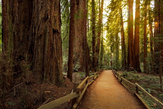
8.2 km away
The locally famous trail and race course from Mill Valley to Stinson Beach, through redwood forest and offering hilltop coastal views.
Difficult Hiking
9.5 km away
Stroll through an urban park with many activities, and enjoy views of the bay and the Golden Gate Bridge.
Easy Hiking
12 routes · Hiking
8 routes · Hiking
7 routes · Hiking
7 routes · Hiking · Road Biking · Trail Running
5 routes · Hiking
7 routes · Hiking

13 routes · Hiking · Trail Running
8 routes · Hiking · Road Biking

14 routes · Hiking