3.6 km away
Cataract Falls Loop from Rock Spring
Lesser-traveled loop with spectacular and varied scenery—lush forest, open hillsides, and a cascading creek.
Moderate Hiking
- Distance
- 9 km
- Ascent
- 362 m
- Descent
- 362 m
A bounty of waterfalls and a peaceful picnic area on Cataract Creek.
Hiking Difficult

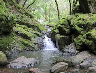
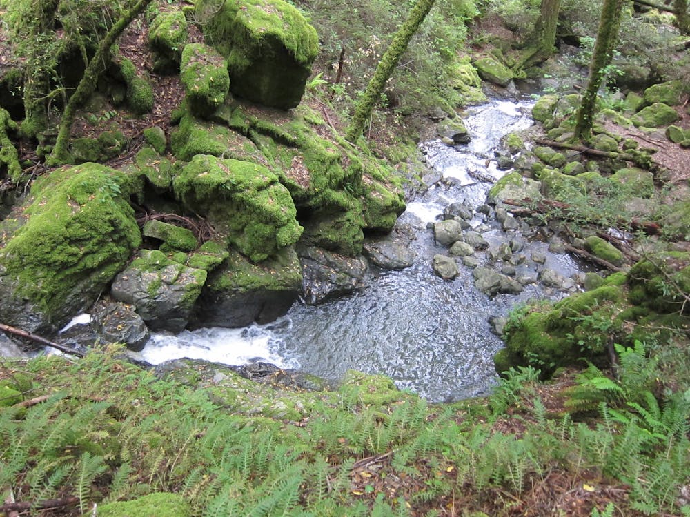
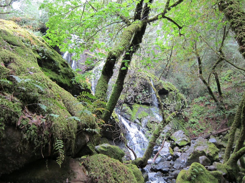
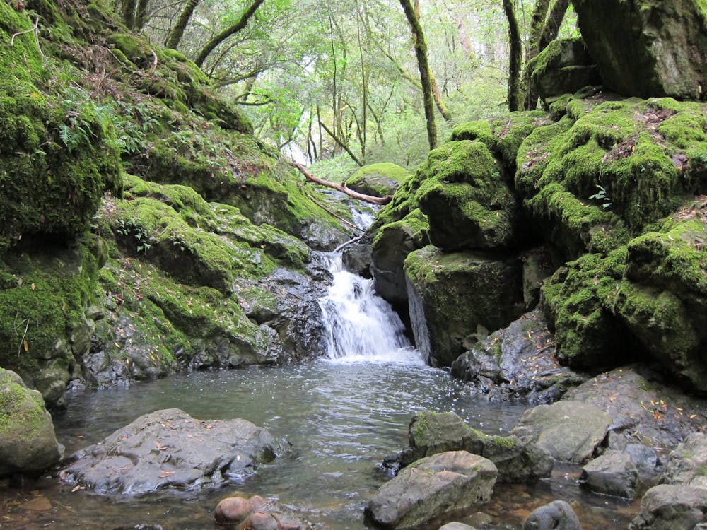
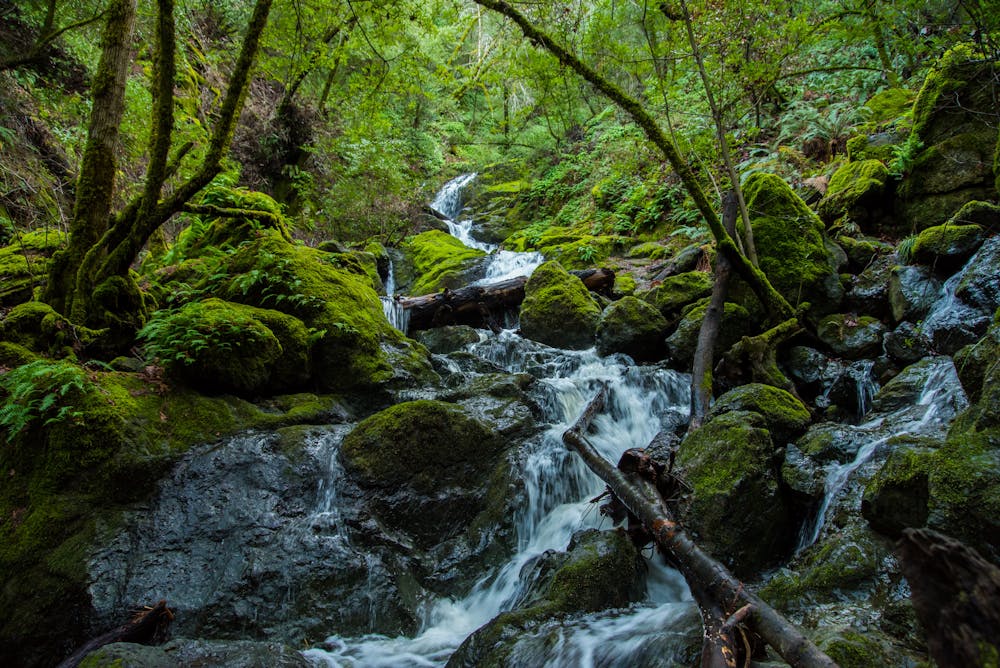
Cataract Creek, in the Mount Tamalpais Watershed, is one of the loveliest streams around because of its abundance of waterfalls. Countless small cascades, and quite a few bigger ones, tumble through lush, mossy forest on their way down to Alpine Lake.
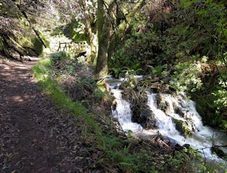
There are multiple trails and trailheads in the area, but this out and back on Cataract Trail is the best option for seeing the most waterfalls in the shortest distance. The turnaround point is at Laurel Dell, a perfect picnic spot with tables in the shade beside the creek. The trail is rather strenuous because of constant uphill and stair climbing, but the shady forest makes it tolerable at all times of year. It’s good for families with older, energetic kids, but not recommended for small children. Dogs are allowed if kept on leash and out of the water (the creek feeds a municipal water supply).
The hike begins from roadside parking at a big switchback on Fairfax-Bolinas Road, near the lakeshore. Spots are limited and narrow, however. If it’s full or if you have a large vehicle, consider using an alternate trailhead to link with Cataract Trail (you can also get there from spots along West Ridgecrest Road, or from Rock Springs Trailhead).
The trail starts out mellow, following the shore of the lake, but turns steeply uphill where the creek meets the reservoir. Parts are a bit strenuous and can be slick, so take it slow. Enjoy the surroundings of diverse forest—oaks, maples, and redwoods form the canopy with ferns and mosses beneath.
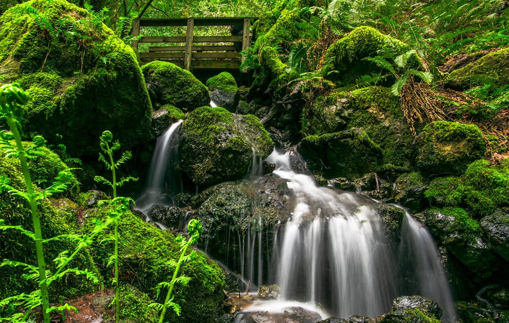
Helen Markt Falls is the first taller waterfall you will come to, and a footbridge crosses the creek for a nice view. Continue uphill as the trail more or less follows the creek and passes falls after falls. Most of them are rather small but all are pleasant to look at. After a few more larger waterfalls, the trail flattens out and comes to Laurel Dell picnic area. It’s the perfect place to take a rest, eat a packed lunch, then turn around. More trails branch out from Laurel Dell, however, making longer hikes possible if you want to see more. The return trip is all downhill, but still not easy because of all the stairs.
The best time of year for water in the creek is winter or spring, though it flows with at least a little bit year round. Spring is particularly good for scenery, because the forest is most verdant and wildflowers pop out. Note that the wetter times of year are also the most difficult for hiking, however, because the trail gets slick and muddy. In fall, though water volume is typically lowest, the leaves change color and temperatures are perfect for hiking.
Sources: https://www.world-of-waterfalls.com/waterfalls/california-cataract-falls/ https://www.parks.ca.gov/pages/471/files/MountTamalpaisSPFinalWebLayout110816.pdf
Difficult
Hiking trails where obstacles such as rocks or roots are prevalent. Some obstacles can require care to step over or around. At times, the trail can be worn and eroded. The grade of the trail is generally quite steep, and can often lead to strenuous hiking.

The trail contains some obstacles such as outcroppings and rock which could cause injury.
Away from help but easily accessed.
3.6 km away
Lesser-traveled loop with spectacular and varied scenery—lush forest, open hillsides, and a cascading creek.
Moderate Hiking
4.4 km away
An excellent bang-for-your-buck loop with a variety of terrain and scenery.
Difficult Hiking
5.2 km away
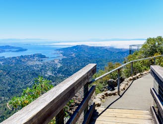
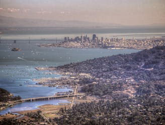
A short, easy loop around the East Peak of Mount Tamalpais that offers panoramic views of the Bay Area and its landmarks.
Easy Hiking
5.2 km away
Short hike to the panoramic summit of Mount Tamalpais.
Moderate Hiking
7.9 km away
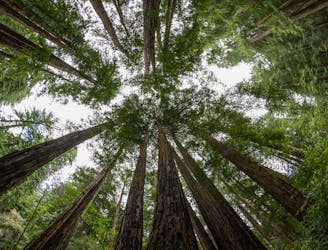
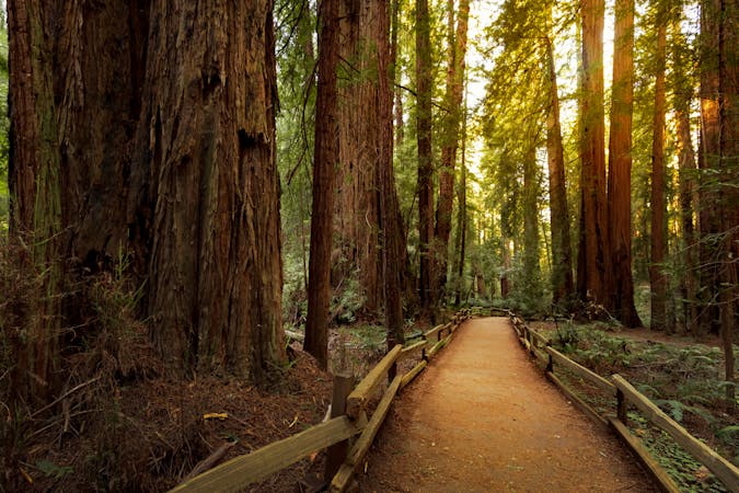
A beautiful loop connecting some of the best trails among the towering redwood trees in Muir Woods National Monument.
Moderate Hiking
8.2 km away
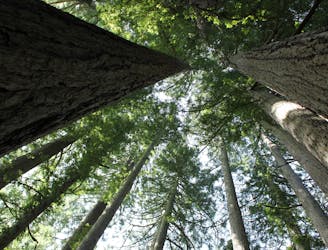
The locally famous trail and race course from Mill Valley to Stinson Beach, through redwood forest and offering hilltop coastal views.
Difficult Hiking
9.6 km away
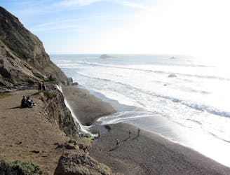
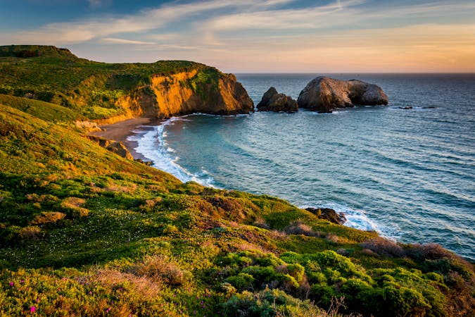
A waterfall dropping into the sea is the culmination of this wildly scenic, somewhat strenuous, and very popular hike.
Difficult Hiking
12 routes · Hiking
8 routes · Hiking
7 routes · Hiking
5 routes · Hiking
7 routes · Hiking
13 routes · Hiking · Trail Running
8 routes · Hiking · Road Biking

14 routes · Hiking