2.8 km away
Cataract Falls Loop from Rock Spring
Lesser-traveled loop with spectacular and varied scenery—lush forest, open hillsides, and a cascading creek.
Moderate Hiking
- Distance
- 9 km
- Ascent
- 362 m
- Descent
- 362 m
An excellent bang-for-your-buck loop with a variety of terrain and scenery.
Hiking Difficult

This trail combo packs a lot of Marin County’s best scenery into a relatively compact, moderately challenging loop. There’s a sandy beach, elevated ocean views, mountainside meadows, redwood forests, and (after recent rainfall) lots of little waterfalls.
The loop connects Stinson beach and Pantoll Station via Dipsea, Steep Ravine, and Matt Davis Trails. As mapped, it begins from Stinson Beach and tackles the uphill first, but Pantoll is a perfectly good starting point if you want the downhill first.
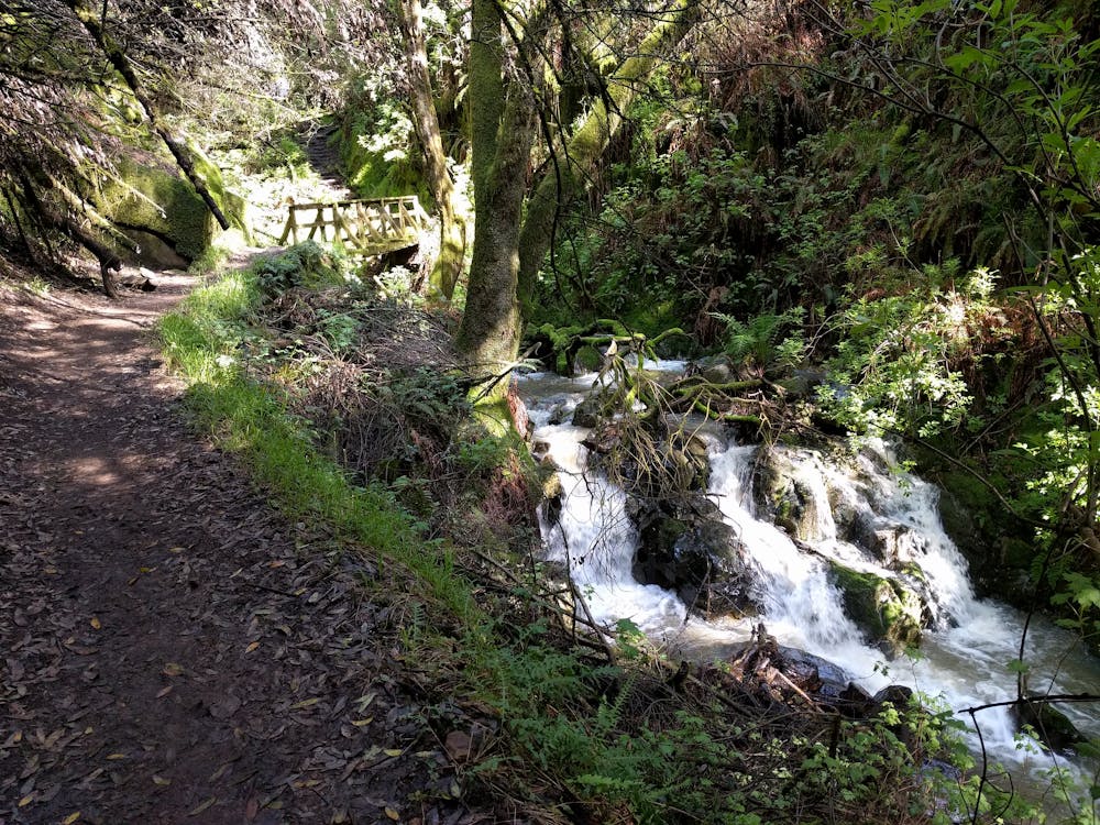
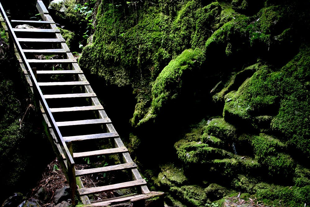
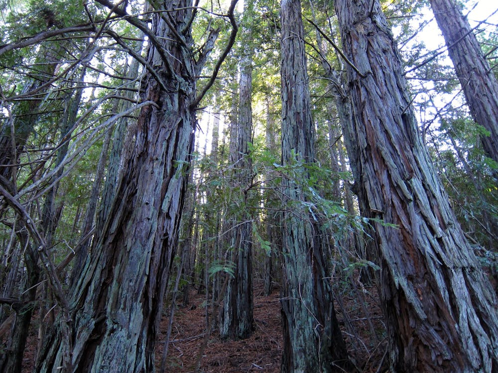
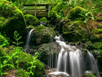
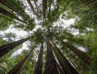
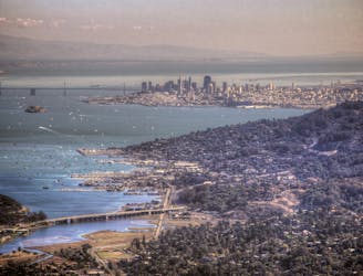
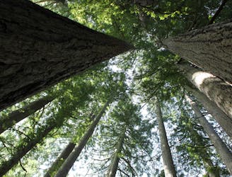
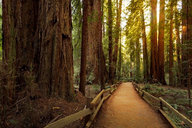
Begin on Dipsea Trail (the opposite direction—uphill on Matt Davis—is fine, too), which soon satisfies with coastal views from open hillsides. Then the trail dips into a forested canyon and hits Steep Ravine Trail, where the character of the hike changes dramatically. Instead of grassy meadows, the environment is a dense forest of tall redwoods, twisted oaks, and a carpet of ferns. Using numerous stairs, bridges, and even a ladder, the trail climbs beside a cascading creek.
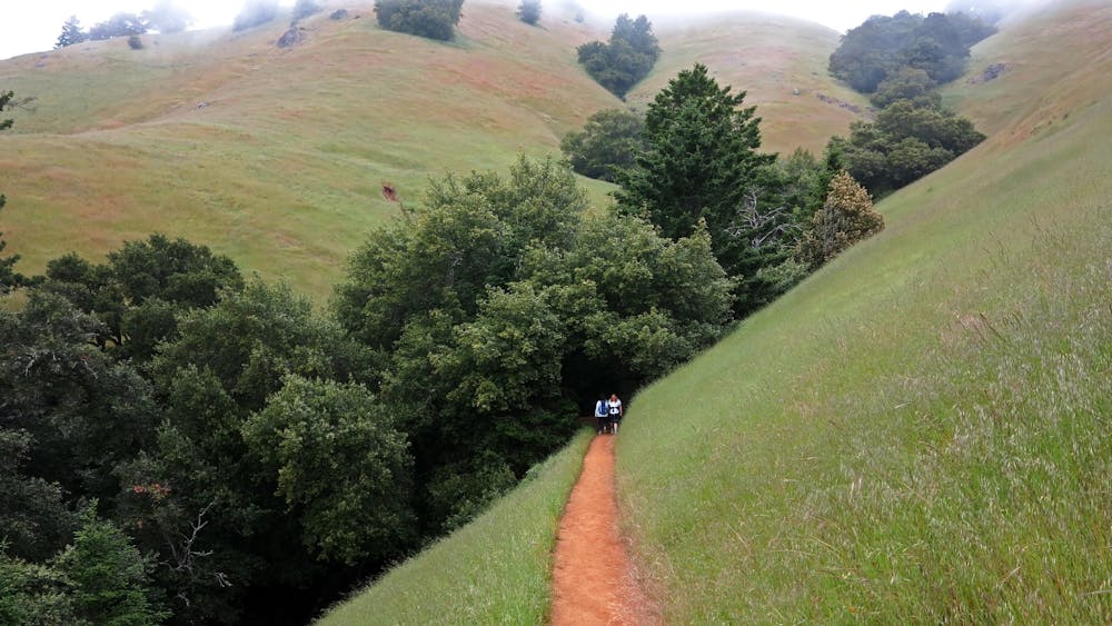
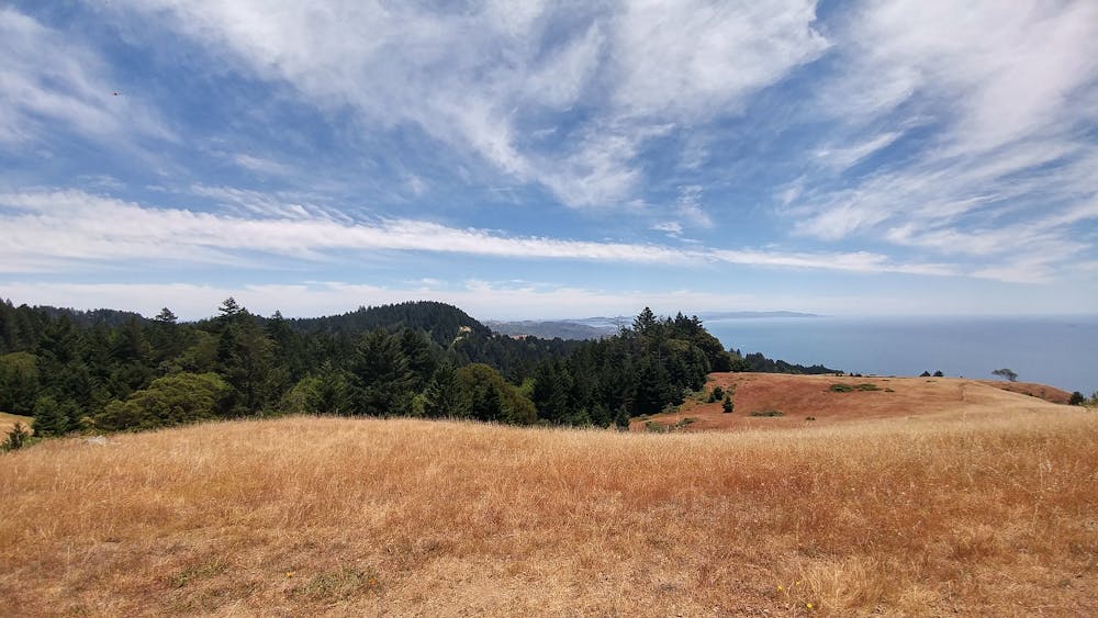
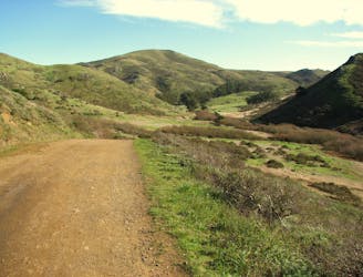
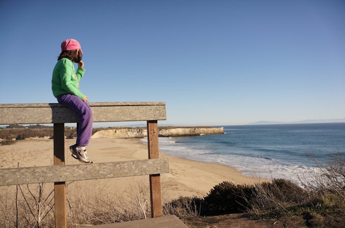
The trail meets Panoramic Highway at Pantoll Station, where restrooms and water are located. Next, cross the road and start on Matt Davis Trail. It’s another stretch of idyllic forest at first, then it emerges in a brilliant meadow. Clumps of trees and bushes dot the hillside, but it’s mostly wide-open grassland overlooking the sea. On a clear day you’ll see the ocean; on others you’ll look upon banks of rolling fog.
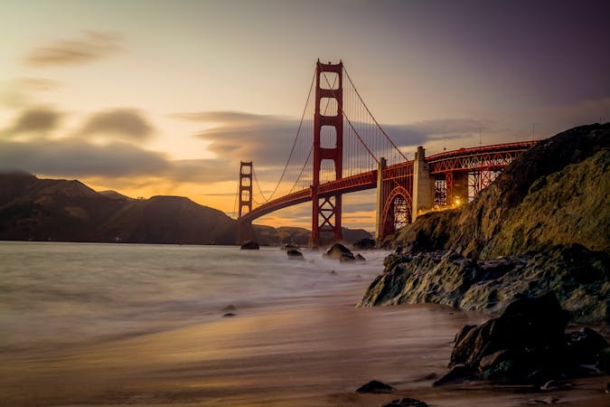
Matt Davis Trail then re-enters the forest and begins a no-nonsense descent to Stinson Beach. You’ll negotiate switchbacks, stairs, bridges, roots, and rocks the whole way down. Luckily, it’s pleasantly shaded and a stream trickles alongside, if it's rained recently. You’ll catch glimpses of the ocean through small clearings and at a boulder called Table Rock. Eventually the trail pops out on Belvedere Avenue in Stinson Beach. Walk a short distance on the road to return to Dipsea Trailhead, or take a quick side trip to enjoy the beach. This small town also has a delicious selection of snack bars and cafés, in case you crave hot food or a cold drink after your hike.
Sources: https://www.parks.ca.gov/pages/471/files/MountTamalpaisSPFinalWebLayout110816.pdf
Difficult
Hiking trails where obstacles such as rocks or roots are prevalent. Some obstacles can require care to step over or around. At times, the trail can be worn and eroded. The grade of the trail is generally quite steep, and can often lead to strenuous hiking.

The trail contains some obstacles such as outcroppings and rock which could cause injury.
Away from help but easily accessed.
2.8 km away
Lesser-traveled loop with spectacular and varied scenery—lush forest, open hillsides, and a cascading creek.
Moderate Hiking
4.4 km away
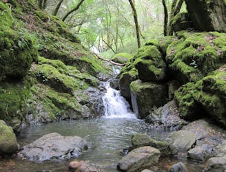
A bounty of waterfalls and a peaceful picnic area on Cataract Creek.
Difficult Hiking
6.2 km away
A beautiful loop connecting some of the best trails among the towering redwood trees in Muir Woods National Monument.
Moderate Hiking
6.2 km away
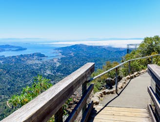
A short, easy loop around the East Peak of Mount Tamalpais that offers panoramic views of the Bay Area and its landmarks.
Easy Hiking
6.3 km away
Short hike to the panoramic summit of Mount Tamalpais.
Moderate Hiking
7.5 km away
The locally famous trail and race course from Mill Valley to Stinson Beach, through redwood forest and offering hilltop coastal views.
Difficult Hiking
9.9 km away
Popular hike through a verdant valley to a beach in a cliff-lined beach.
Easy Hiking
12 routes · Hiking
8 routes · Hiking
5 routes · Hiking
7 routes · Hiking
13 routes · Hiking · Trail Running
8 routes · Hiking · Road Biking

14 routes · Hiking