1.4 km away
Zumwalt Meadows Loop
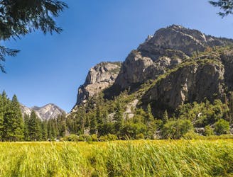
Enjoy Yosemite-like views with a fraction of the people!
Easy Hiking
- Distance
- 2.5 km
- Ascent
- 32 m
- Descent
- 32 m
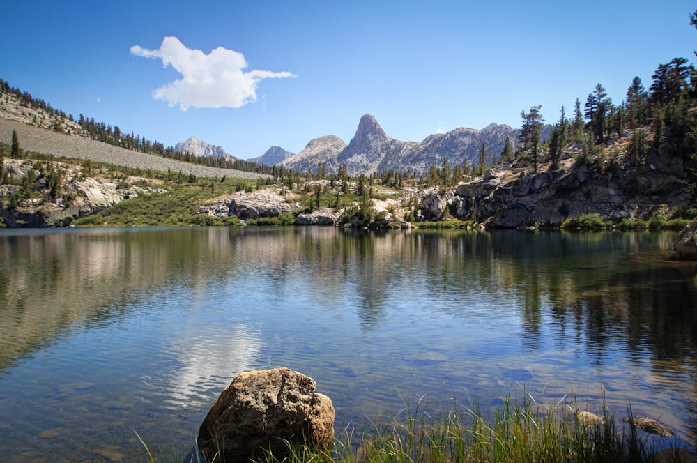
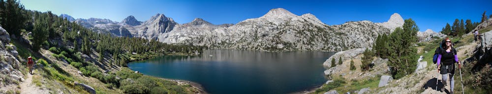
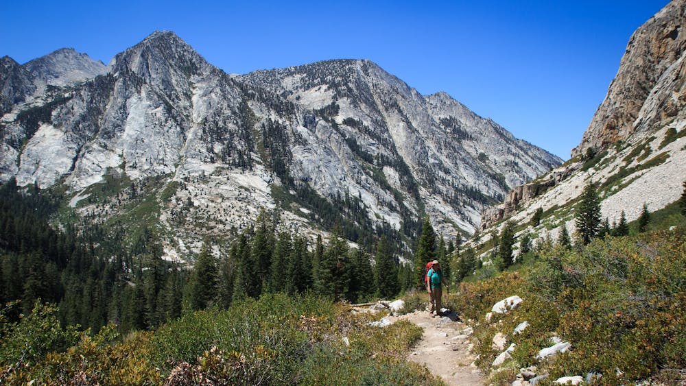
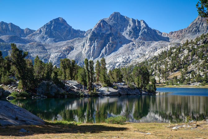
One of the most famous backpacking loops in the High Sierras.
Hiking Difficult

The Rae Lakes Loop is one of the most famous backpacking loops in the High Sierras. "Mile for mile – and perhaps inch for inch – the Rae Lakes Loop. . .contains some of the most stunning and celebrated scenery in a mountain range world-famous for stunning and celebrated scenery," according to ModernHiker.com. Deep, narrow mountain valleys, granite domes, beautiful meadows, crystal-clear lakes, rushing streams, and deep forests, will keep you continuously engaged during this 39-mile loop.

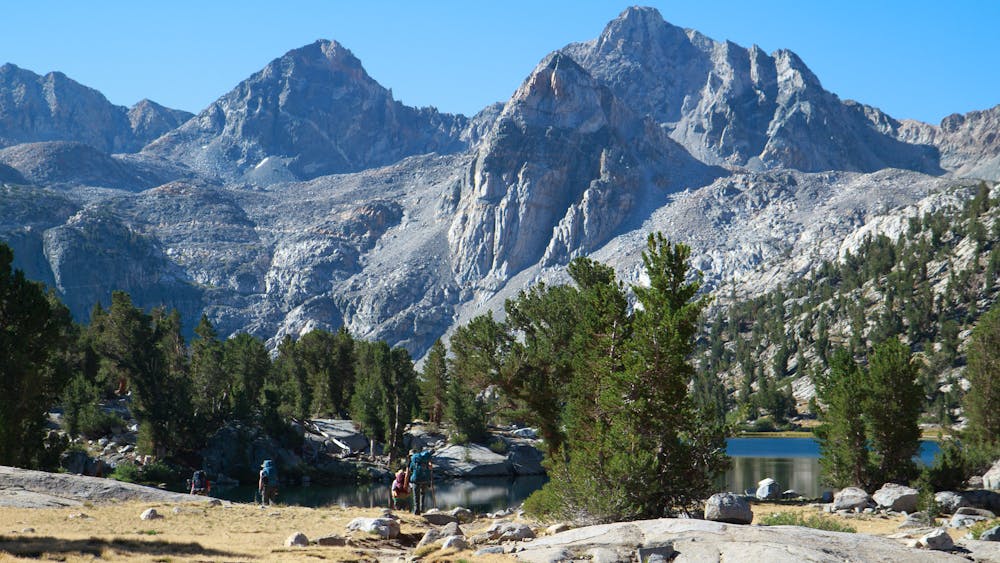
Due to the popularity of this route, hikers attempt it very early in the summer as well as during peak season. Many sources note that high water at many of the stream crossings can be difficult, if not downright dangerous, in May and June. Also, the almost 12,000-foot Glen Pass "may be impassable to hikers until mid-late July and even later for stock," according to the USFS.
In order to complete the loop and camp at the limited campgrounds along the way, you'll have to make a series of reservations, attain a wilderness permit, and bring a bear-resistant canister for food storage. Exactly how many camping reservations will you have to make? That depends on how ambitious you are. ModernHiker recommends "that conditioned hikers take the route in 5 days, with one zero day in the Rae Lakes area. However, it is possible to complete this route in anywhere from 3 ambitious days to 7 leisurely days."
Sources: https://www.backpacker.com/trips/best-hikes-in-kings-canyon-national-park#section2 https://www.nps.gov/seki/planyourvisit/rae-lakes-loop.htm https://modernhiker.com/hike/hiking-the-rae-lakes-loop-kings-canyon-national-park/
Difficult
Hiking trails where obstacles such as rocks or roots are prevalent. Some obstacles can require care to step over or around. At times, the trail can be worn and eroded. The grade of the trail is generally quite steep, and can often lead to strenuous hiking.

The trail contains some obstacles such as outcroppings and rock which could cause injury.

In the high mountains or remote conditions, all individuals must be completely autonomous in every situation.
1.4 km away
Enjoy Yosemite-like views with a fraction of the people!
Easy Hiking
7 routes · Hiking