3.9 km away
Broken Hill Beach Loop
Quieter trail, and the long way to reach the beach in Torrey Pines Reserve.
Moderate Hiking
- Distance
- 4 km
- Ascent
- 115 m
- Descent
- 115 m
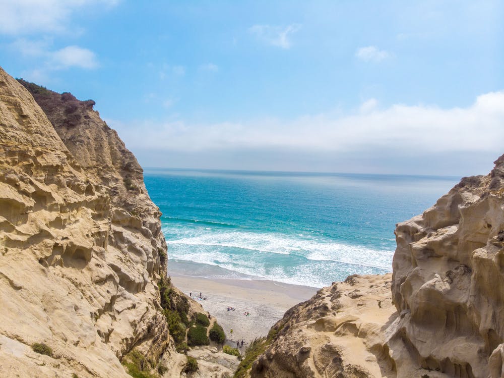
Descend down to a spectacular viewpoint overlooking the mighty Pacific
Hiking Moderate

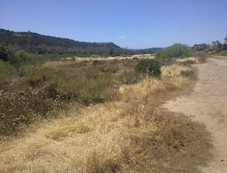
The trailhead for the Saigon Trail is located off Genesee Avenue in the Clairemont Mesa neighborhood of San Diego, and it's accessible from a parking lot near the Tecolote Canyon Golf Course.
The trail winds through Tecolote Canyon, offering scenic views of the surrounding landscape and (if you're lucky) glimpses of wildlife such as birds, rabbits, and lizards. The trail is well-marked and relatively easy to navigate, but it's not entirely flat and there are some rocky sections.
One of the highlights of the Saigon Trail is the opportunity to see the remnants of an old military bunker dating back to the Vietnam War era. The bunker, known as the "Saigon Bunker," was used by military personnel for training exercises and provides a unique glimpse into the area's history.
History, a bit of welcome shade (thanks to the trees which line sections of the trail), and huge views - the Saigon Trail is not to be missed!
Moderate
Hiking along trails with some uneven terrain and small hills. Small rocks and roots may be present.

The trail contains some obstacles such as outcroppings and rock which could cause injury.
Away from help but easily accessed.
3.9 km away
Quieter trail, and the long way to reach the beach in Torrey Pines Reserve.
Moderate Hiking
3.9 km away

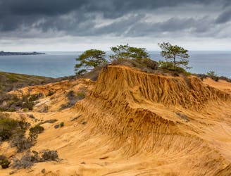
Connects some of the best overlooks and the beach in Torrey Pines Reserve.
Moderate Hiking
4.2 km away
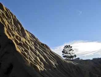
Short loop with ocean views and fine specimens of the endangered Torrey pine tree.
Easy Hiking
4.7 km away
Oasis of water and nature with many trails in the metro area.
Moderate Hiking
5.2 km away

A beautiful walk along a fantastic San Diego beach.
Easy Hiking

17 routes · Hiking