246 m away
Wreck Road to Ford Point
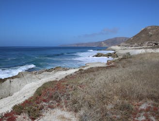
Day 1 of a backpacking trip on the wild shores of Santa Rosa in Channel Islands National Park.
Moderate Hiking
- Distance
- 16 km
- Ascent
- 540 m
- Descent
- 545 m
Pier to Soledad to Beach to Camp
Hiking Moderate

This is a popular hiking route which is generally considered to be moderate. It's very remote, it features extreme exposure and is typically done between April and October. From a low point of 2 m to the maximum altitude of 470 m, the route covers 44 km, 1490 vertical metres of ascent and 1470 vertical metres of descent.
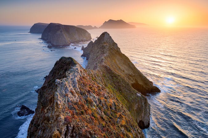
A circuit of Santa Rosa, hiking along and over the spine of the island .
Moderate
Hiking along trails with some uneven terrain and small hills. Small rocks and roots may be present.

Some trail sections are extremely exposed where falling will almost certainly result in serious injury or death.

Little chance of being seen or helped in case of an accident.
246 m away
Day 1 of a backpacking trip on the wild shores of Santa Rosa in Channel Islands National Park.
Moderate Hiking
5 routes · Hiking