5 m away
Willow Canyon
A lovely hike to a canyon waterfall.
Moderate Hiking
- Distance
- 7.3 km
- Ascent
- 428 m
- Descent
- 428 m
An excursion into a scenic wilderness canyon.
Hiking Difficult

The trek into Sidewinder Canyon is guaranteed to provide solitude and exploration options along the way, but you won't find a trail or easy hiking here! Immediately upon leaving the parking area, route finding skills are required to navigate the way across alluvial fans to the correct canyon mouth.
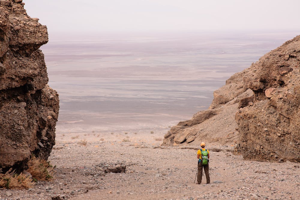
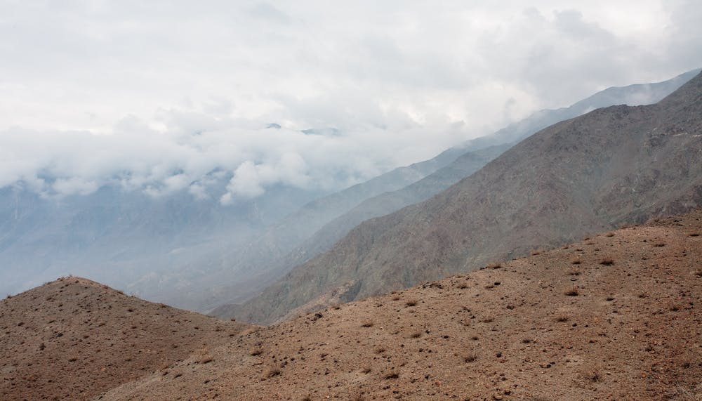
An alluvial fan is the collection of alluvium (gravel, sand, sediment, etc.) washed out from something like a canyon to spread out in a fan-shape when it comes to a flat area. Any hiker planning to do wilderness hikes in Death Valley National Park will come to find out that these “fans” are not easy to walk on! The footing is very loose as they head upwards toward the canyon entrance.
Plan on plenty of time for this 4.7-mile out-and-back trek. Not only is the going slow crossing the alluvial fans, but the opportunities for side trips into slot canyons and scrambles up high should not be passed by!
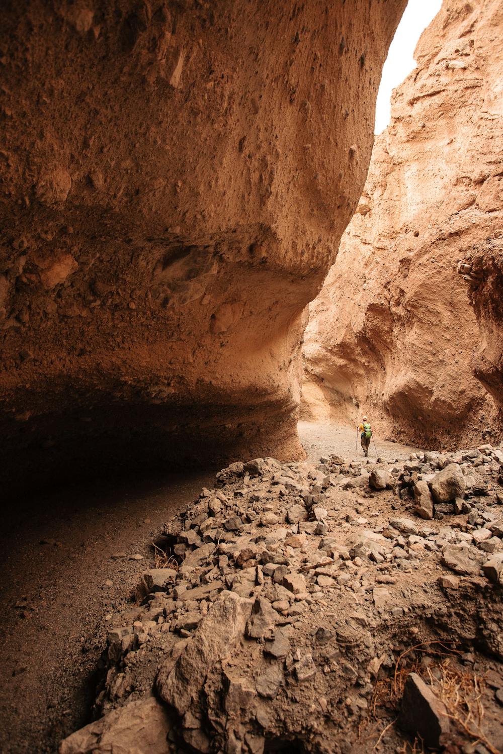
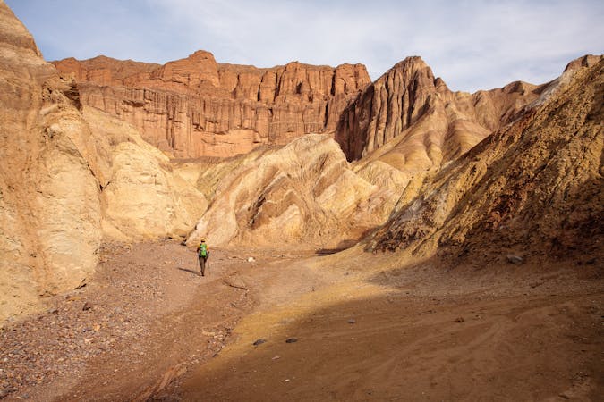
Look for the first slot canyon about half a mile into the canyon-proper. This slot, like the others, is short, but it affords a tighter canyon experience than staying in the main canyon does. The next such slot canyon option appears in about 1/10th of a mile. This one is longer but takes some scrambling and climbing skills to go very far. Regardless of how far one can go, these slots are fun to explore.
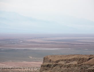
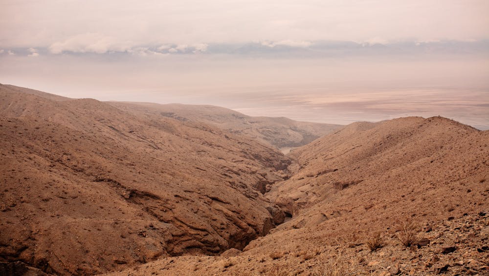
At about 1.3 miles, there is a place to climb steeply up a slope to gain the top of the canyon wall. Getting up to this vantage point is well worth it for the stunning views of Death Valley below.
This wilderness hike is not to be taken lightly. In fact, the route description from the park website describes it like this: “Sidewinder Canyon is both physically and mentally a very demanding hike. Climbing over vertical ledges over 6 ft (2m) high and squeezing or crawling into tight spaces 1.5 ft (0.5m) wide is required. There are no signs identifying the parking or the hike.”
Be prepared to be self-sufficient: pack the 10 essentials and plenty of water!
Access to Sidewinder Canyon is via an unmarked gravel access road half a mile off Badwater Road.
Sources: https://www.nps.gov/deva/planyourvisit/sidewinder-canyon.htm
Difficult
Hiking trails where obstacles such as rocks or roots are prevalent. Some obstacles can require care to step over or around. At times, the trail can be worn and eroded. The grade of the trail is generally quite steep, and can often lead to strenuous hiking.

The trail contains some obstacles such as outcroppings and rock which could cause injury.

In the high mountains or remote conditions, all individuals must be completely autonomous in every situation.
5 m away
A lovely hike to a canyon waterfall.
Moderate Hiking
11 routes · Hiking