5 m away
Sidewinder Canyon
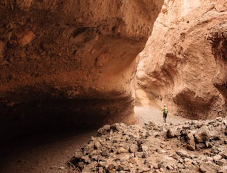
An excursion into a scenic wilderness canyon.
Difficult Hiking
- Distance
- 7.6 km
- Ascent
- 412 m
- Descent
- 412 m
A lovely hike to a canyon waterfall.
Hiking Moderate

Though this hike involves a significant amount of alluvial fan negotiation, the possibility of seeing a waterfall at the end of the quarter-mile-long canyon is ample reward.
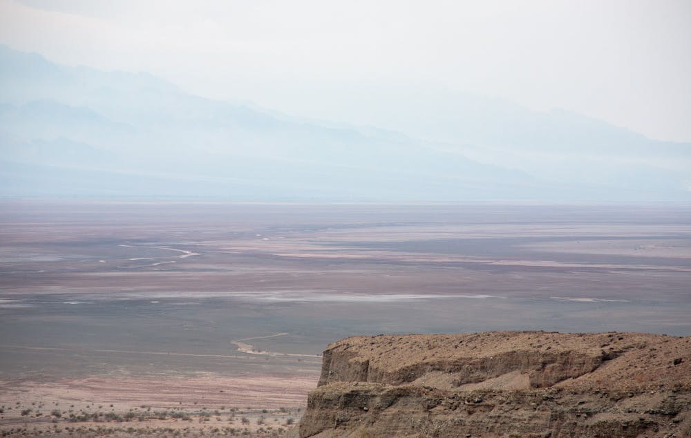
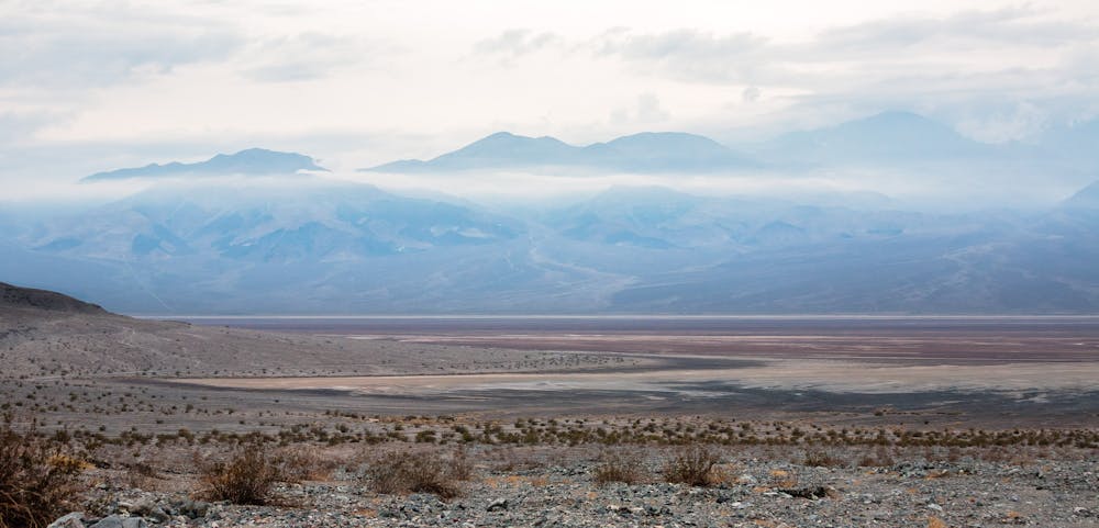
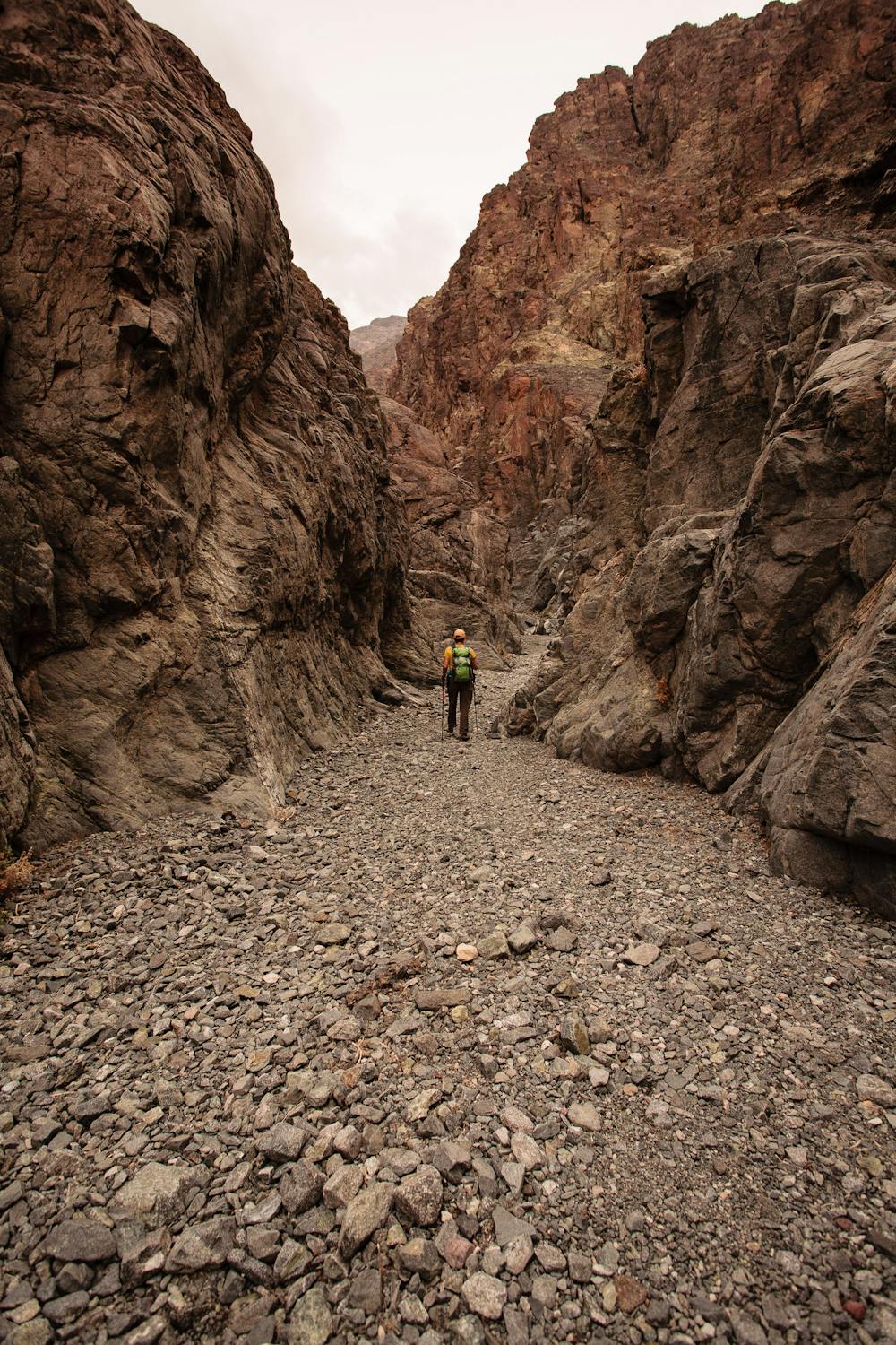
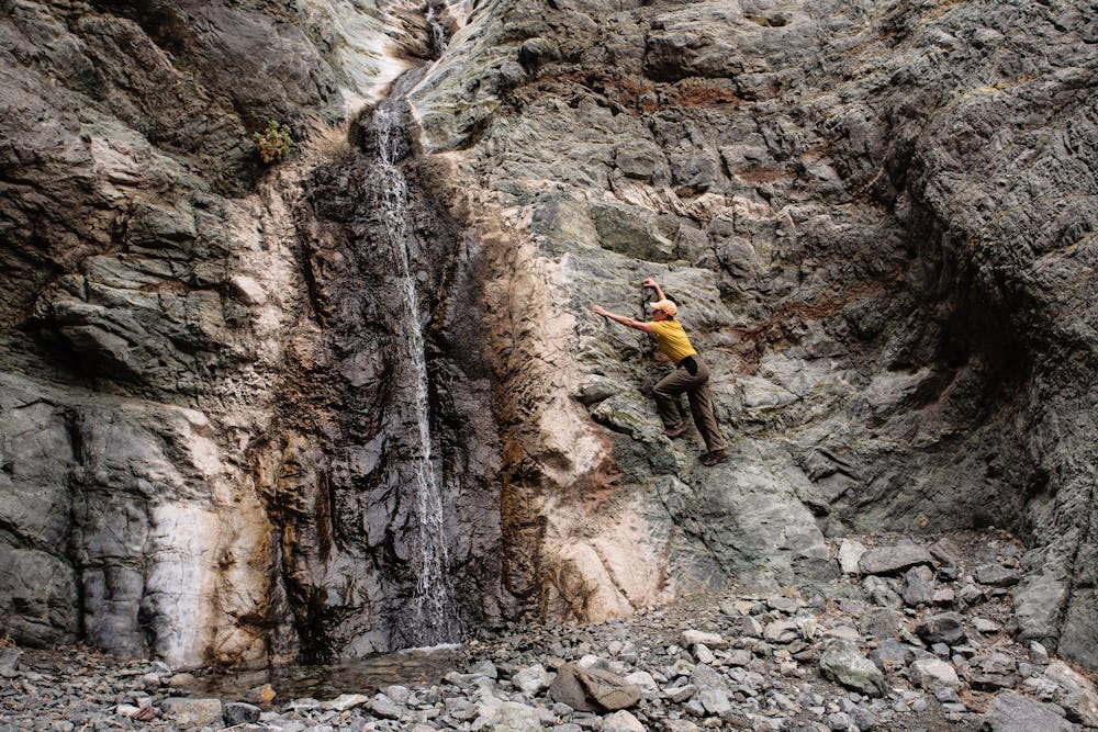
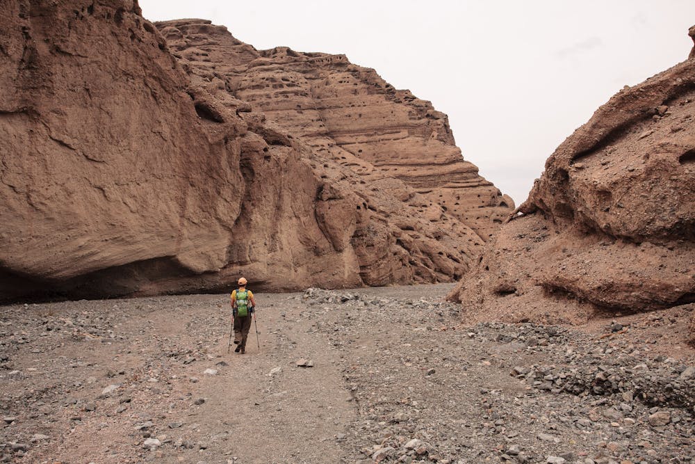
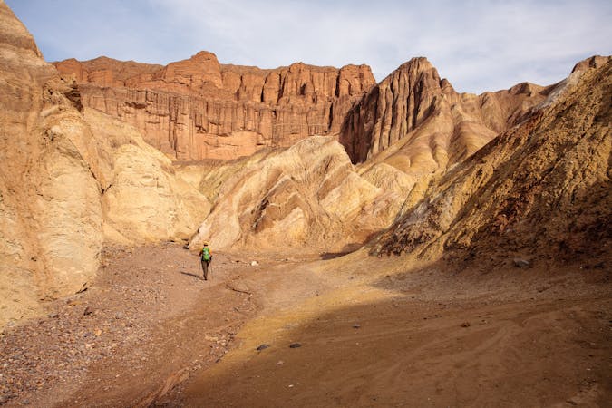
The trek to Willow Canyon is perfect those who enjoy route-finding and don't need trails. The entirety of the route description on the Death Valley National Park website is this: “This route isn't very physically demanding, but finding the canyon and seasonal waterfall is a reward that only cross country navigators get to enjoy. No road and no hiking route signage. From the parking area avoid the small foothills and canyons to the east. Instead, make your way north/northeast wrapping around the foothills and head toward the deep canyon in the mountains. Most of this route is across the rocky alluvial fan and exposed to the sun. The last 0.25 miles (0.4km) into the narrow canyon is over polished bedrock before ending at the waterfall.”
What the adventurous hiker gets is solitude in a stunningly-beautiful environment and perhaps a glimpse of bighorn sheep; what that hiker will not get is crowds on designated trails.
It is definitely important to be prepared to be self-sufficient in desert terrain, as most of the hike is out in the open and exposed to intense sun. Wear sunscreen and a brimmed hat and carry the 10 essentials, including lots of water.
The short foray into beautiful Willow Canyon ends at a 70-foot dryfall... or if you're lucky and there has been recent rain, a waterfall! The sweetness of running water in the desert can't be adequately described. After spending time reveling in the cool, shaded dead-end, turn around and hike back out. The return trip keeps hikers entranced by sweeping views of Badwater.
Access to Sidewinder Canyon is via an unmarked gravel access road 1/2-mile off Badwater Road.
Sources: https://www.nps.gov/deva/planyourvisit/hiking.htm#sidewindercanyon
Moderate
Hiking along trails with some uneven terrain and small hills. Small rocks and roots may be present.

The trail contains some obstacles such as outcroppings and rock which could cause injury.

Little chance of being seen or helped in case of an accident.
5 m away
An excursion into a scenic wilderness canyon.
Difficult Hiking
11 routes · Hiking