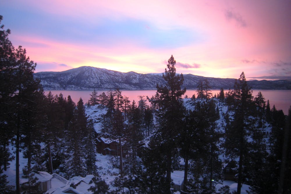
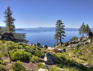
The Stateline Fire Lookout, so named because of its position approximately on the California-Nevada border, was originally built in 1936 for spotting wildfires. No longer used for such, the tower structure has been dismantled, but the stone foundation remains as a great viewpoint. You can gaze out over the blue expanse of Lake Tahoe and its surrounding green and white mountains.
The hike is short but a bit steep, up an old paved road. Along the way are informative signs about the history of the area, including its once-bountiful old growth forests and the logging era. Signs at the top describe the historic lookout and geographic features around the lake.
Spend as long as you like at the top, then retrace your steps back down to the car. Parking is along the narrow shoulder of Lakeview Road, and is somewhat limited. Be sure to not block the gate to the lookout or any private drives. Easy access and proximity to town make this a high-traffic hike, but it deserves the popularity because of its scenery and historic value.
Sources:
https://www.sierrasun.com/news/sports/the-history-behind-one-of-lake-tahoes-most-popular-and-easy-hikes/