9 m away
PCT: Barker Pass to Donner Summit
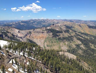
Miles 1124.8-1153.4 of the northbound PCT: Tracing a line across the sky above Lake Tahoe, on a bald crest of craggy peaks.
Difficult Hiking
- Distance
- 44 km
- Ascent
- 1.6 km
- Descent
- 1.8 km
Hike along the rolling ridgelines west of Lake Tahoe with epic views over the lake plus tranquility among shady forest and flowery meadows.
Hiking Difficult

North of Barker Pass the joint Pacific Crest Trail/Tahoe Rim Trail contours along rubbly volcanic slopes, leaving behind the polished granite basins of the Desolation Wilderness. The trail climbs onto rolling hillsides through alternating forest and meadows, colored by flowers in the summer and golden aspens in the fall. Take in frequent views over Lake Tahoe to the east and more mountains to the west. If you hike the full Tahoe Rim Trail clockwise (either direction is fine), then by this point you will be relishing the relative few last steps of the journey.
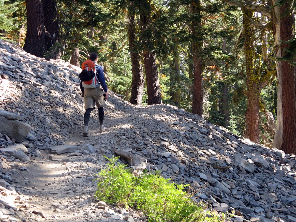
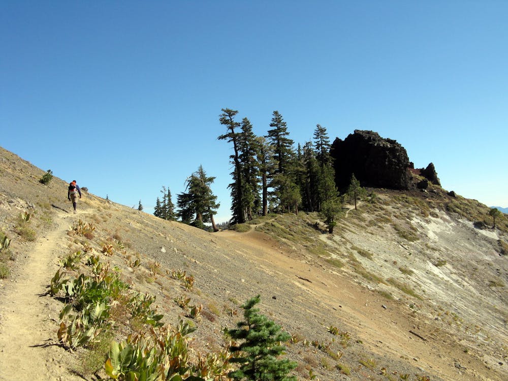
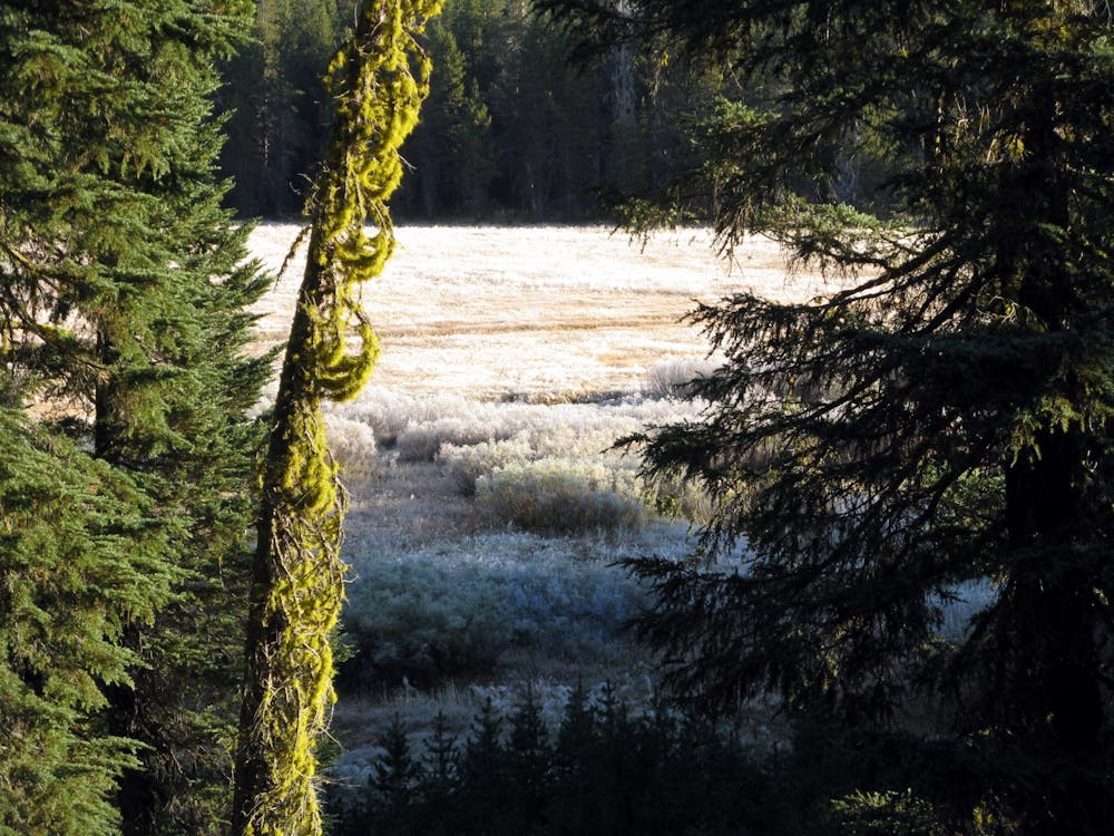
After a short but steep set of switchbacks to a panoramic ridge traverse, the Tahoe Rim Trail splits off the Pacific Crest Trail and heads east across the talus slope of Twin Peaks. It then descends sharply down into the forested canyon of Ward Creek. It follows the bottom of this shady valley for a few miles, bridging the creek and a few cascading tributaries before crossing a paved road and climbing out of the canyon to Page Meadows. These marshy meadows are decorated with seasonal flowers and small ponds, fringed by mixed conifer forest. Keep an eye out for wildlife as you enjoy this final dose of nature before Tahoe City.
Enter town on the bank of the Truckee River, then cross on the bike path bridge to meet Fairway Drive, thus completing the 165-mile loop of the Tahoe Rim Trail.
Sources: https://tahoerimtrail.org/maps-trail-info/ https://tahoerimtrail.org/wp-content/uploads/2017/04/MapBrochBPtoTC.pdf https://en.wikipedia.org/wiki/TahoeRimTrail
Difficult
Hiking trails where obstacles such as rocks or roots are prevalent. Some obstacles can require care to step over or around. At times, the trail can be worn and eroded. The grade of the trail is generally quite steep, and can often lead to strenuous hiking.

The path is on completely flat land and potential injury is limited to falling over.

Away from help but easily accessed.
9 m away
Miles 1124.8-1153.4 of the northbound PCT: Tracing a line across the sky above Lake Tahoe, on a bald crest of craggy peaks.
Difficult Hiking

8 routes · Hiking

72 routes · Hiking