2 m away
Fall Canyon
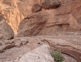
This deep canyon hike has a true wilderness vibe.
Moderate Hiking
- Distance
- 9.9 km
- Ascent
- 462 m
- Descent
- 462 m

A stunning road walk through towering cliff walls.
Hiking Moderate

This hike is completely different than most others in Death Valley National Park. The fact that it is actually on a 4x4 road in no way diminishes the experience. Titus Canyon Narrows is a great choice for anyone, including families with children, for its jaw-dropping magnificence.
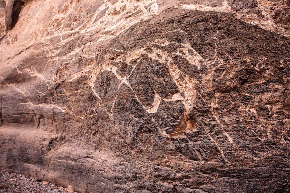
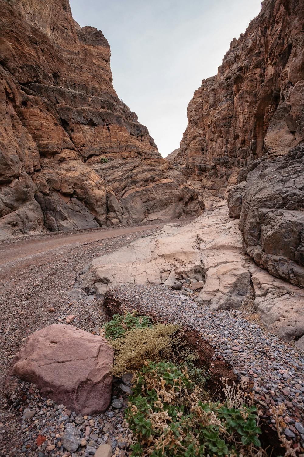
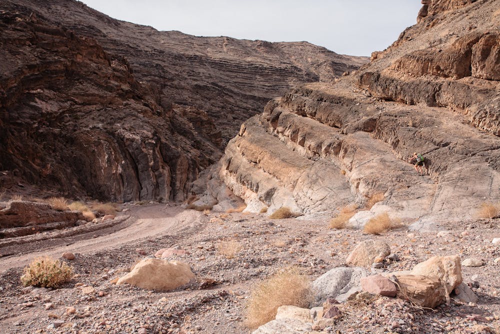

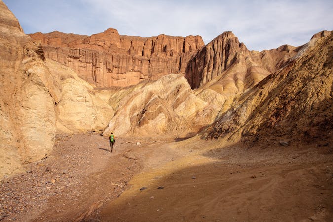
The route begins at the end of the only 2-way portion of the 28-mile-long road (26 miles of it is one-way only). The route is most definitely a rocky 4x4 road, and the only direction it can be driven is toward the mouth of the canyon where hikers begin. There is no worry about fast vehicles conflicting with hikers: the road through The Narrows is technical and requires slow driving through the 20-foot-wide sections.
Though mountain biking is not allowed on Death Valley trails, it is allowed on park roads, so hikers may see adventurous mountain bikers finishing their 26-mile ride in The Narrows.
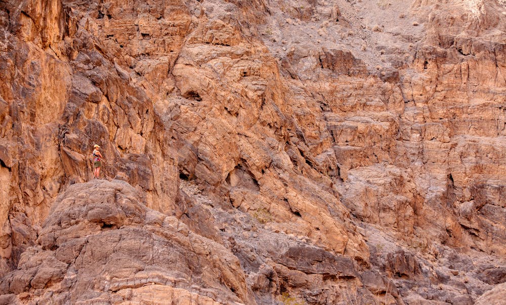
Titus Canyon from the west end is truly magnificent; the canyon walls tower above, seemingly changing colors around every bend. The only physical difficulty involved in the trek is the real potential for developing a sore neck caused by craning upward so often! Look for veins of rock in the walls that resemble petroglyphs and pretty hanging gardens.
The road is 26 miles long, so hikers can design a trek of any length by simply turning around when desired. The best-of-the-best, however, is the two miles through The Narrows, which would make a 4-mile roundtrip outing.
This trek, deep within a massive slot canyon, is much cooler than many Death Valley hikes, so packing extra layers is a good idea. All hikes in the park require carrying plenty of water.
Take time along the way to add in a bit of scrambling and exploring along the way; the environment, particularly just past the narrows, almost begs you to.
Access to Titus Canyon is via the 2.7-mile unpaved two-way section of Titus Canyon Road, which is 11.9 miles north of CA-190 on Scotty's Castle Road.
Moderate
Hiking along trails with some uneven terrain and small hills. Small rocks and roots may be present.
2 m away

This deep canyon hike has a true wilderness vibe.
Moderate Hiking
11 routes · Hiking