442 m away
Aliso Creek and Woods Canyon
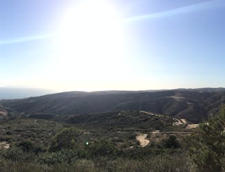
A long-standing trail system in Laguna Beach that harbors singletrack ranging from smooth to ultra-rocky.
Severe Mountain Biking
- Distance
- 24 km
- Ascent
- 720 m
- Descent
- 720 m
3 climbs of Cholla and 3 different descents: Lynx, Rockit and 5 oaks
Mountain Biking Severe

This is a popular mountain biking route which is generally considered to be severe. It's not remote, it features high exposure and is typically done all year round. From a low point of 29 m to the maximum altitude of 270 m, the route covers 27 km, 667 vertical metres of ascent and 668 vertical metres of descent.


3 intense climbs to reach 3 demanding descents
Severe
Widely variable, narrow trail tread with steeper grades and unavoidable obstacles of 15in/38cm tall or less. Obstacles may include unavoidable bridges 24in/61cm wide or less, large rocks, gravel, difficult root sections, and more. Ideal for advanced-level riders.

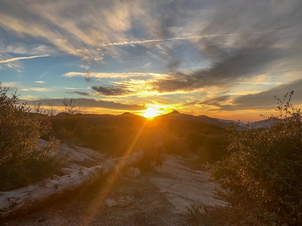
Some trail sections have exposed ledges or steep ascents/descents where falling could cause serious injury.

Close to help in case of emergency.
442 m away
A long-standing trail system in Laguna Beach that harbors singletrack ranging from smooth to ultra-rocky.
Severe Mountain Biking
13 routes · Mountain Biking