13 routes · Mountain Biking
Arguably Southern California's most iconic mountain bike ride.
Mountain Biking Difficult

The San Juan Trail has reigned for years as one of So Cal’s classic rides… and according to Brian Kennedy, it’s “still got it!”
The route mapped here is a lariat loop running from the bottom to the top of the trail, and then back down. However, it is possible to shuttle this trail thanks to road access at the upper end.
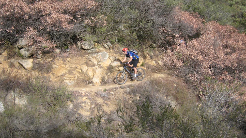
The singletrack on San Juan is narrow and swoopy, with some tight turns that can really sneak up on you after wide-open straightaways. In places, the undergrowth is so tight that the sightlines are really short despite your high rate of speed.
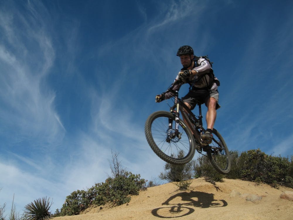
The trail tread alternates between smooth and flowy, lightly chunky, and thoroughly chunky. Some of the rock gardens are filled with formidable boulders and ledge drops, and you’ll even spot some optional kickers as you rip down the trail.
Some sections of the San Juan Trail are quite washed out at this point in time. “I’m very curious to see how this trail is going to evolve over the years,” said Brian. “I’m kinda worried about it. Those ruts are just going to get deeper and deeper and deeper.
While the San Juan Trail is mostly an up-and-down affair, there are a few short, stiff climbs mixed into the descent (or descents into the climbs). With the wear and tear to the trail over the years, these short climbs can pose a serious challenge.
As you descend the trail, the vegetation gets thicker and thicker, with some sections providing a tunnel-like sensation as you barrel through the undergrowth. But where the undergrowth does open up, the views of the surrounding mountains are stunning! Unlike other trails in the Orange County area, the San Juan Trail is a true mountain excursion.
Difficult
Mostly stable trail tread with some variability featuring larger and more unavoidable obstacles that may include, but not be limited to: bigger stones, roots, steps, and narrow curves. Compared to lower intermediate, technical difficulty is more advanced and grades of slopes are steeper. Ideal for upper intermediate riders.

Some trail sections have exposed ledges or steep ascents/descents where falling could cause serious injury.
Little chance of being seen or helped in case of an accident.
13 routes · Mountain Biking
5 routes · Mountain Biking