13 routes · Mountain Biking
One of the most popular mountain bike trail systems in Orange County.
Mountain Biking Difficult

The Santiago Oaks trail system is one of the most popular suburban trail networks for mountain biking in the Orange County region. Located right on the edge of the suburbs, it’s also popular with other trail users, so be sure to share the trail and practice proper trail yielding.
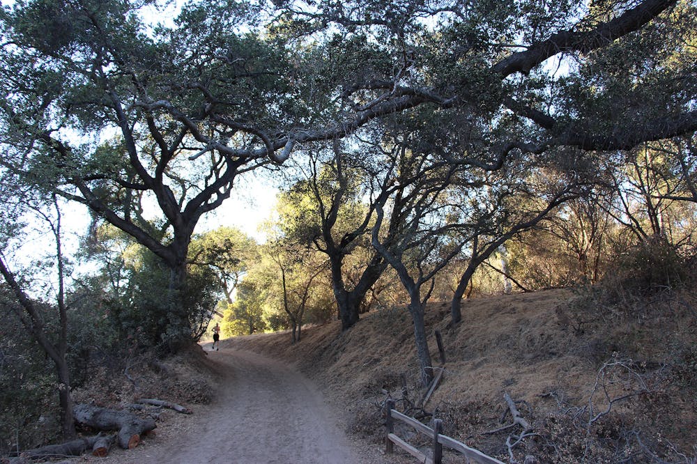
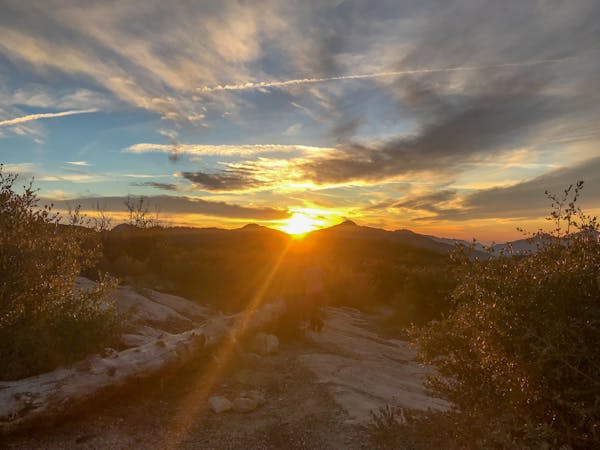
If you do brave the crowds or find an off-peak time to ride, you’ll be rewarded with a beautiful network of intricate singletrack trails climbing high into a set of hills that feels surprisingly remote for being located right on the edge of the city. You’ll quickly forget the hustle and bustle of city life and the press of traffic as you soak in the natural beauty of the untrammeled hills all around you.
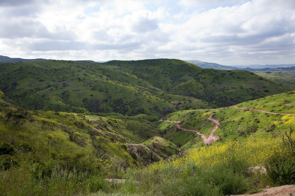
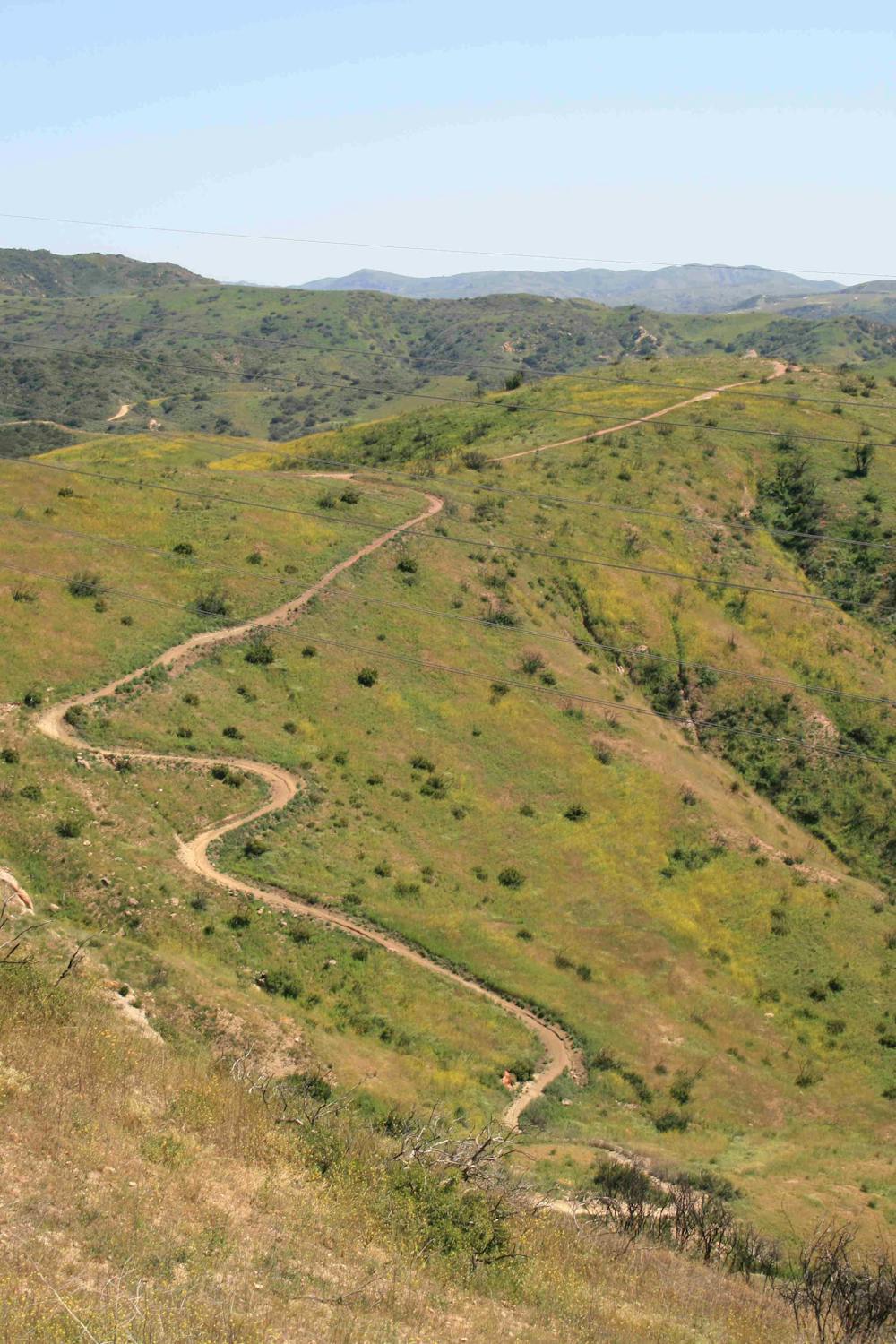
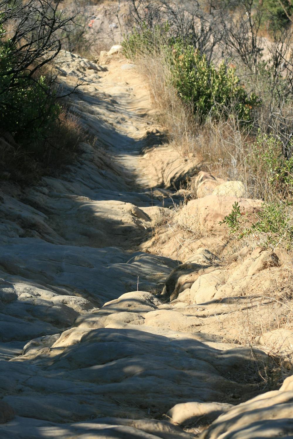
With so many trails running in all directions, it’s possible to build loop and ride combinations of many various types here at Santiago Oaks. The route mapped here is one of the more aggressive ride options, with a penchant for the more technical downhills in the area. That said, it’s also possible to construct a ride that focuses more on flowy, XC trails—check the local maps for trail difficulty ratings.
If you do brave the more technical trails, you can expect to encounter classic So Cal loose-over-hardpack conditions, chunky, embedded rocks and rock gardens, rock rolls, and even some respectable drops. Some sections of the more technical trails are actually quite steep for being in a suburban park. Don’t underestimate Santiago Oaks just because it’s right on the edge of town—some of these trails can pack a punch!
Sources: https://www.youtube.com/watch?v=xNPz6vyMDNM http://www.ocparks.com/parks/santiago/ https://www.youtube.com/watch?v=HMKDtPhHiBA
Difficult
Mostly stable trail tread with some variability featuring larger and more unavoidable obstacles that may include, but not be limited to: bigger stones, roots, steps, and narrow curves. Compared to lower intermediate, technical difficulty is more advanced and grades of slopes are steeper. Ideal for upper intermediate riders.

The trail contains some obstacles such as outcroppings and rock which could cause injury.

Close to help in case of emergency.
13 routes · Mountain Biking