10 routes · Mountain Biking
The Brockway to Watson Lake segment of the Tahoe Rim Trail provides an easily-accessible backcountry-style ride with occasional lake views
Mountain Biking Moderate

The Brockway Summit Trailhead may be the most accessible entry point to the Tahoe Rim Trail (TRT) as it sits right on highway 267 just a few miles south of I-80 and Truckee, CA. The area around the trailhead is fairly developed, with a residential neighborhood nearby and numerous forest roads criscrosssing the area, but within a few minutes of pedaling west toward Watson Lake, the rider can quickly find peace and solitude. The dense woods provide an effective insulating buffer between the Tahoe tourist frenzy and the backcountry rider.
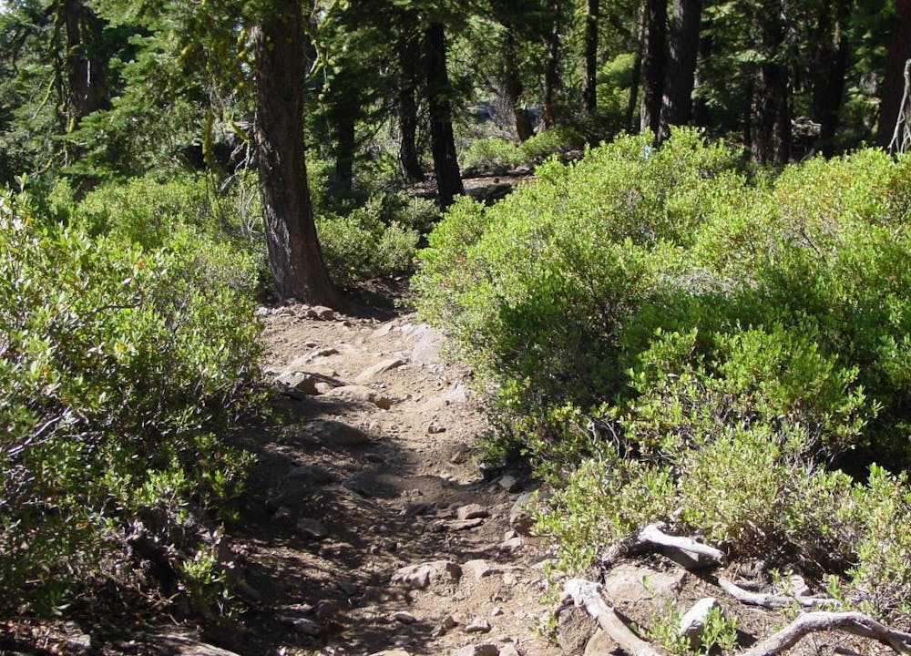
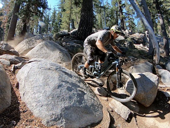
This segment of the TRT is not a flow trail; it is old school singletrack cut without mountain bikes in mind, which is what gives it some real character. There are smooth sections, rocky sections, sandy sections during dry periods, and plenty of roots and off-camber turns. The trail here isn't actually advanced, but it is too rugged and challenging for most novices. There are no extreme climbs or descents, but the shorter ones are steep and continuous enough to require a rider to be vigilant. Sharp rocks poke through the sometimes powdery surface at times, but there are no major obstacles or seriously-technical moves required.
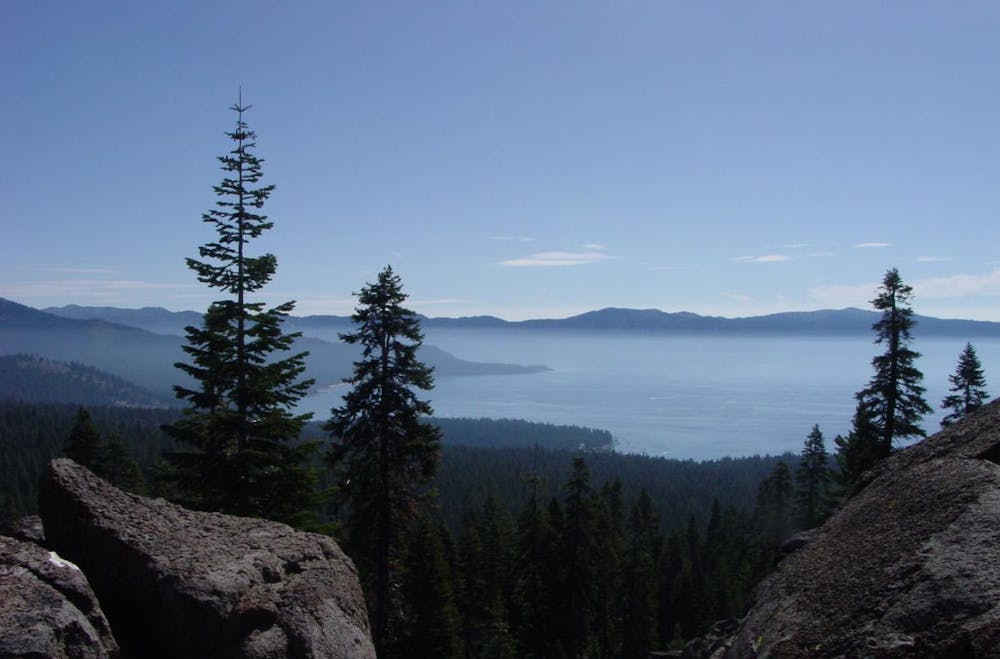
While this is part of the TRT, it does not have the continuous exposure to broad lake views that some other segments have. What it has is an occasional break in the trees where one can get a quick glimpse. For big time views, be on the lookout for side trails that approach overlooks.
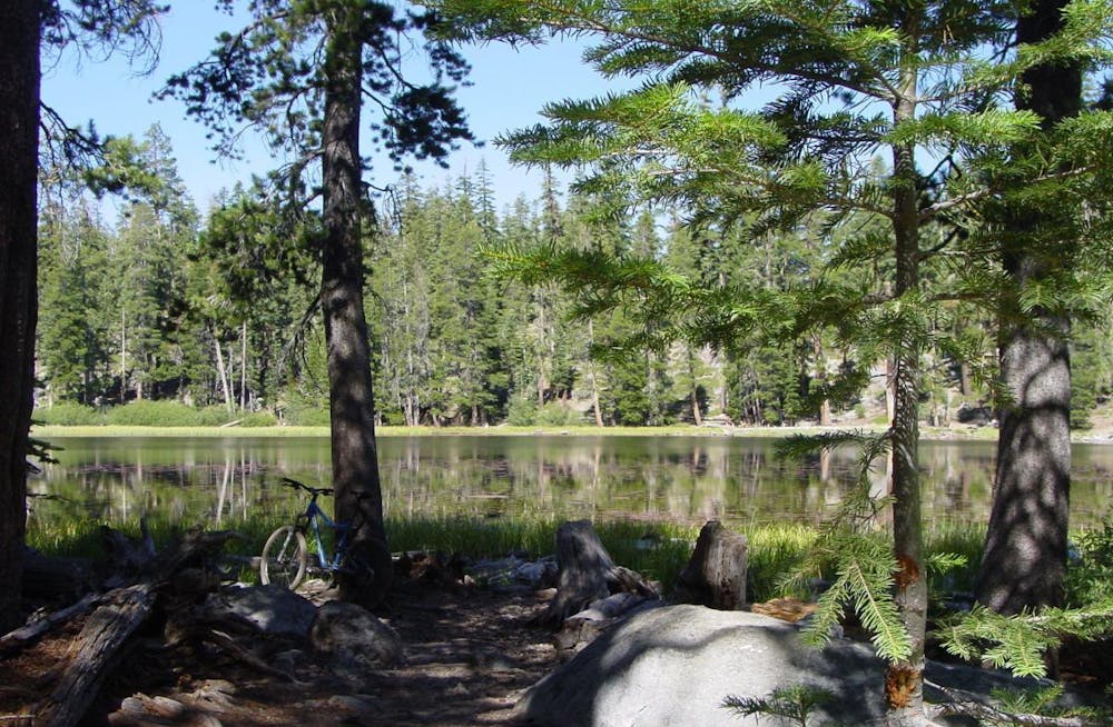
The endpoint of this segment is the small, peaceful Watson Lake, which is scarcely worth mentioning as a body of water being so close to mighty Lake Tahoe, but it is an extremely pleasant place to sit a spell, soak up the surroundings, and grab a snack before the return trip. The journey to Watson Lake makes a fine out-and-back ride exclusively on the TRT, but there are also other trails and dirt roads in the area that offer numerous loop possibilities. The map here shows the best possible combination, providing a partial loop where there is singletrack available on the Watson Creek Trail before merging back with the TRT.
While the Flume section of the TRT gets all the love for its incredible lake exposure, the Brockway to Watson Lake section is a better alternative for the rider seeking an easily-accessible but true backcountry experience on more rugged singletrack. If that sounds like you, you owe it to yourself to give this section a go.
-Written by John Fisch
Moderate
Mostly stable trail tread with some variability, with unavoidable obstacles 8in/20cm tall or less. Other obstacles such as rock gullies and steep sections may exist. Ideal for lower intermediate riders.

The path is on completely flat land and potential injury is limited to falling over.

Away from help but easily accessed.
10 routes · Mountain Biking