3.4 km away
Whiting Ranch
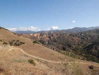
An expansive open space offering connections to other nearby trails.
Moderate Mountain Biking
- Distance
- 9.9 km
- Ascent
- 222 m
- Descent
- 222 m
An iconic flow trail that predates the advent of the modern flow trail.
Mountain Biking Moderate

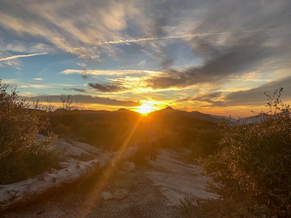
The Luge is a renowned SoCal singletrack descent that looks like… well, a luge track. With banked berms on every corner, the swoop and flow of this classic trail is nearly unbeatable!
Over the years, the Luge has taken a beating from trail traffic due its immense popularity. Braking bumps and washouts have formed, making this flow trail relatively rough for what it is.
Despite a few rocks here and there, and the wear and tear to the trail, this sweet slice of singletrack is still uber-fast and way fun. It’s even a great choice for early intermediate riders… if they can brave the pedal to the top.
While there are a few different ways to access the top of The Luge, mapped here is one of the shortest routes to loop this fabulous SoCal descent.
Moderate
Mostly stable trail tread with some variability, with unavoidable obstacles 8in/20cm tall or less. Other obstacles such as rock gullies and steep sections may exist. Ideal for lower intermediate riders.

The trail contains some obstacles such as outcroppings and rock which could cause injury.
Away from help but easily accessed.
3.4 km away
An expansive open space offering connections to other nearby trails.
Moderate Mountain Biking
13 routes · Mountain Biking