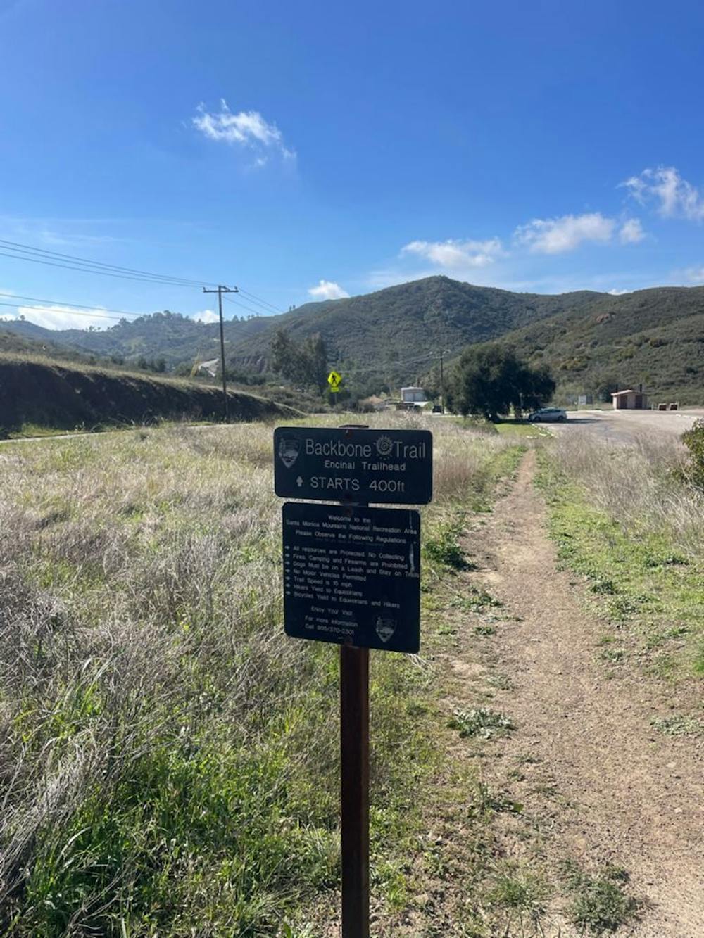
Section 5: Latigo Canyon Road to Encinal Canyon Road
Santa Monica Mountains
Backbone Trail Section 5: Latigo Canyon Road to Encinal Canyon Road
Trail Running Moderate
- Distance
- 12 km
- Ascent
- 354 m
- Descent
- 553 m
- Duration
- 1-2 hrs
- Low Point
- 347 m
- High Point
- 620 m
- Gradient
- 6˚

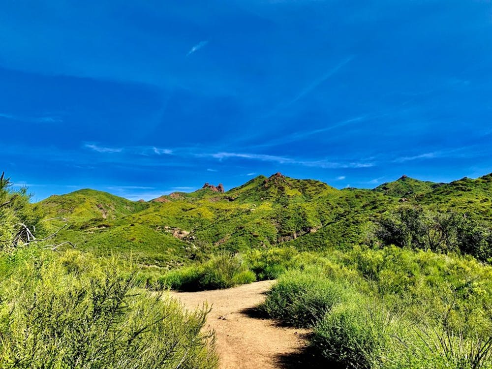
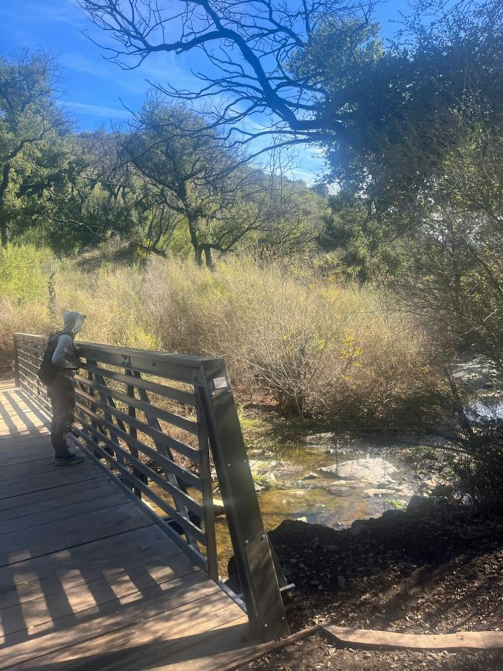
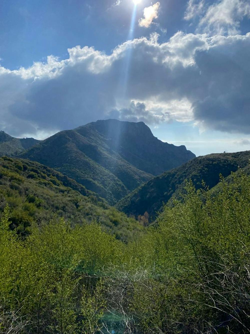
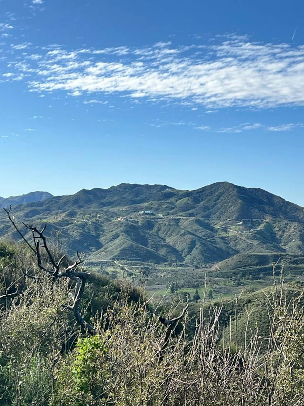
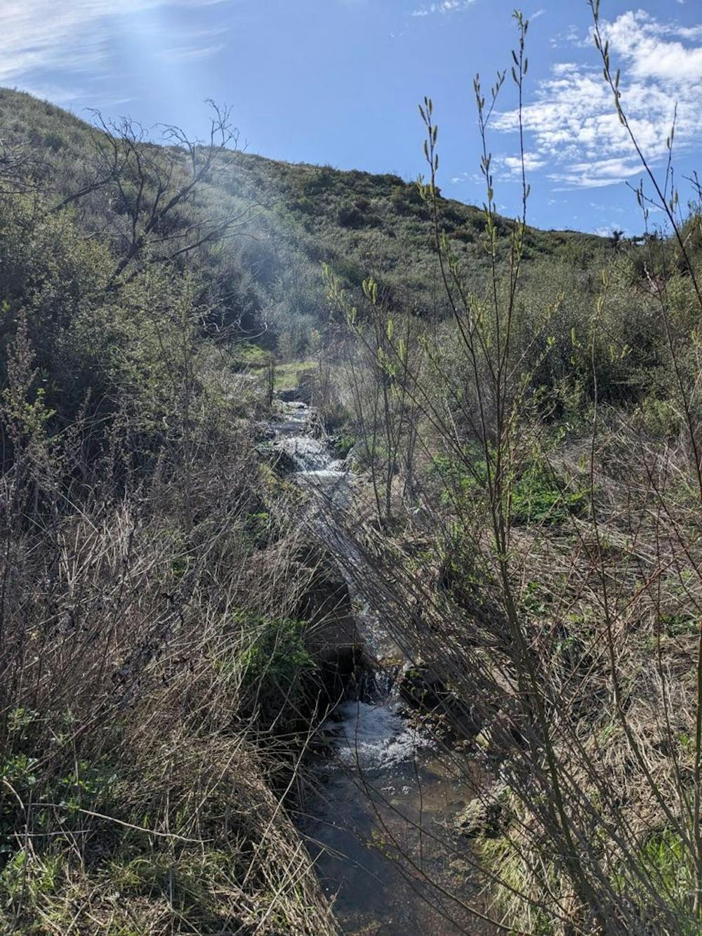
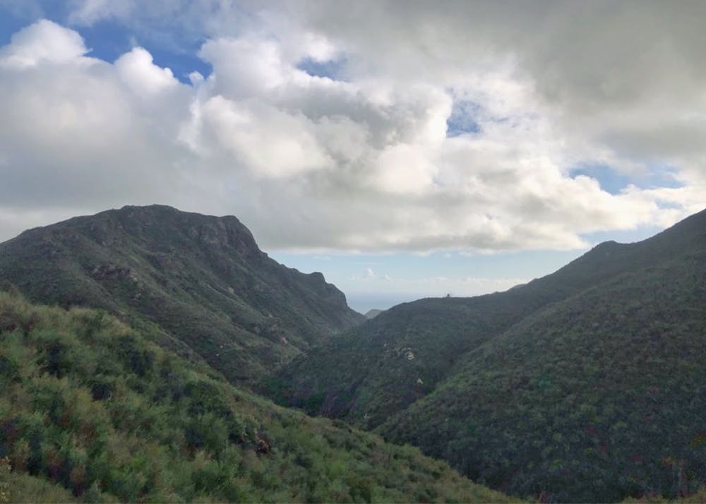
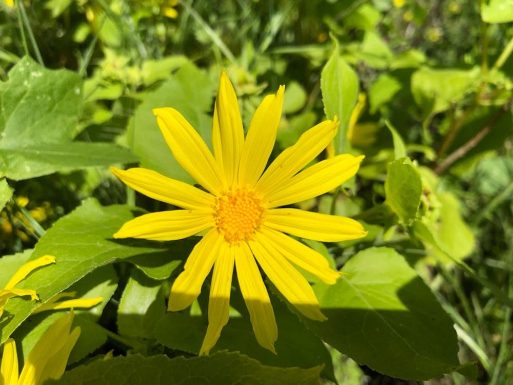
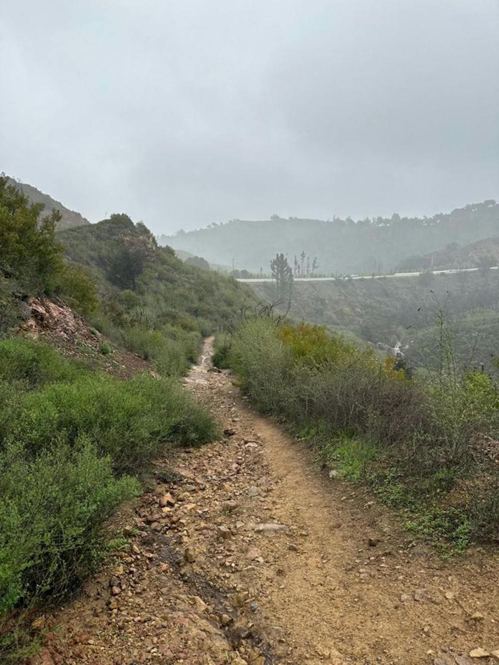
Drop off the ridge line and into the watersheds of Trancas and Zuma canyons, where you can ponder the role water plays in the Mediterranean habitat — and how little of it there is in the Santa Monicas. Walk on to Newton Canyon, a woodland with walnut and bay laurel trees as well as ferns, then climb uphill toward Latigo Canyon Road. You can look back and see Sandstone Peak and how far you’ve come. You’ve just crossed the halfway point of the Backbone Trail.
- •
- •
- •
- •
- •
- •
- •
- •
- •
- •
- •
- •
Difficulty
Moderate
Medium Exposure

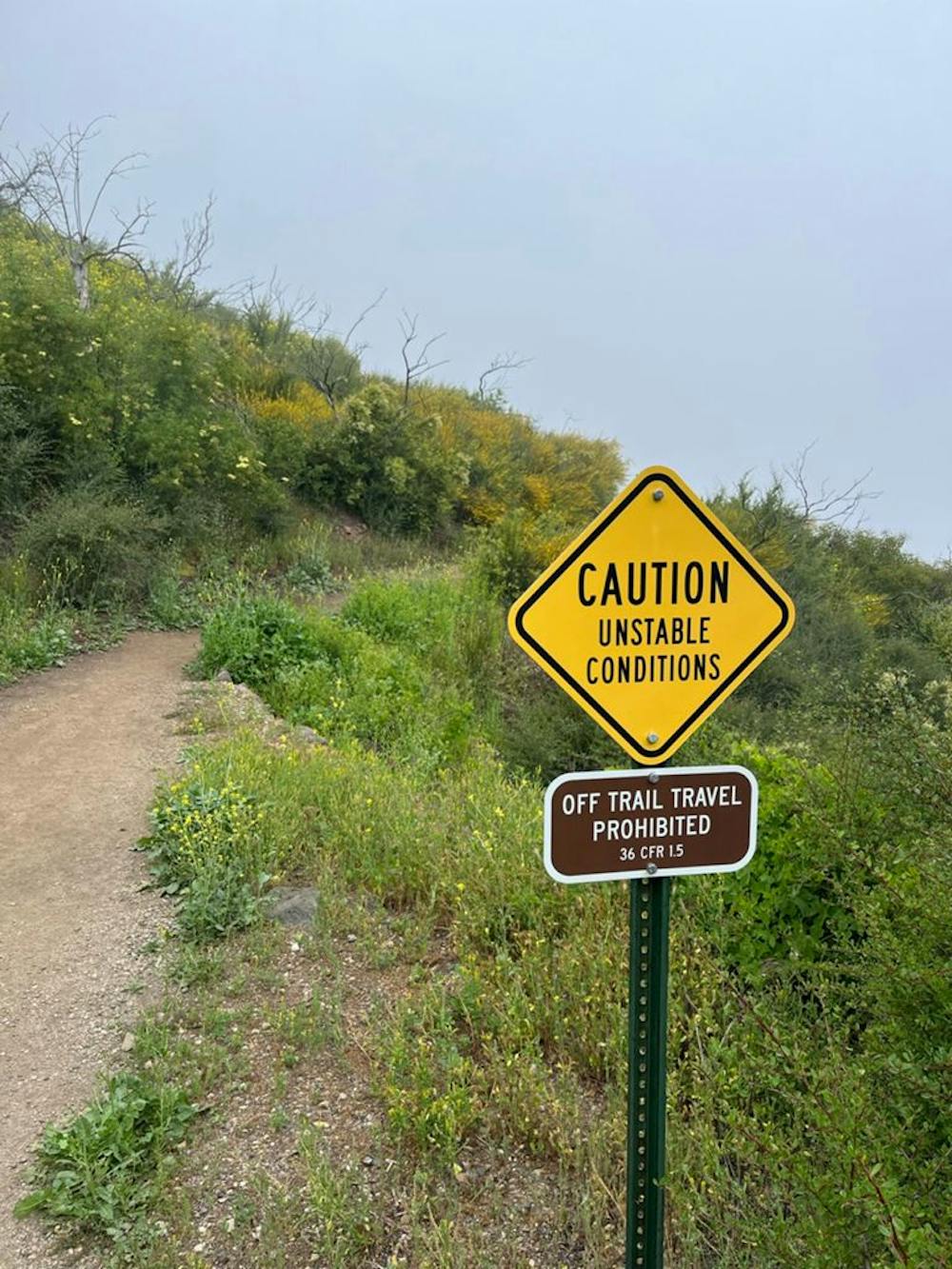
The trail contains some obstacles such as outcroppings and rock which could cause injury.
Remoteness
Away from help but easily accessed.