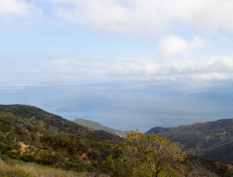
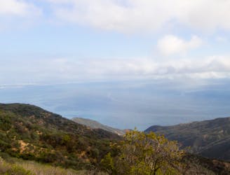
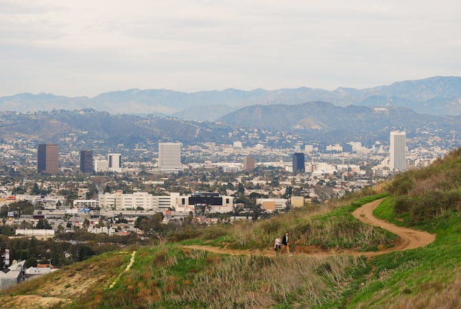
Los Leones Trail.
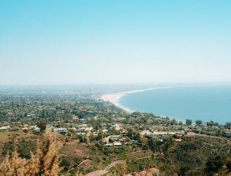
Reach one of the finest viewpoints in Greater LA
Moderate Hiking
- Distance
- 4.1 km
- Ascent
- 161 m
- Descent
- 161 m
Explore Santa Monica Mountains with curated guides of the best hiking trails, trail running routes, and more. With over 23 3D trail maps in FATMAP, you can easily discover and navigate the best trails in Santa Monica Mountains.
No matter what your next adventure has in store, you can find a guide on FATMAP to help you plan your next epic trip.
Get a top trail recommendation in Santa Monica Mountains from one of our 9 guidebooks, or get inspired by the 23 local adventures uploaded by the FATMAP community. Start exploring now!
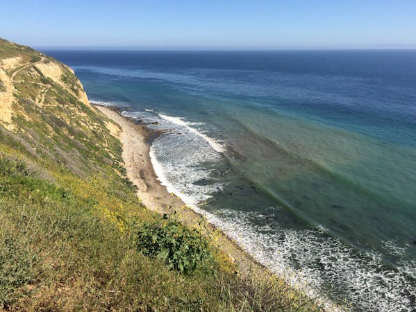
Reach one of the finest viewpoints in Greater LA
Moderate Hiking
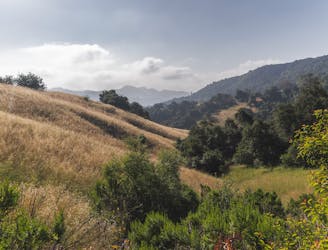
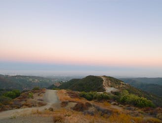
An easy hike to a stunning view of the Santa Monica Mountains.
Easy Hiking
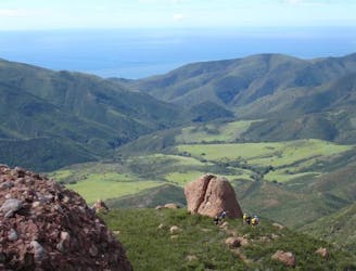
A complete traverse of the Santa Monica Mountains outside of Los Angeles along the Backbone Trail with terminuses at Will Rogers State Park and Ray Miller Trailhead
Difficult Trail Running
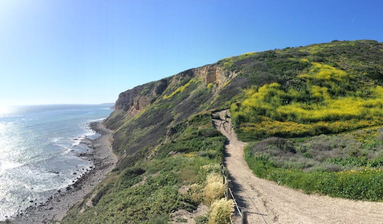
Ridgeline run with ocean views above the Pacific Coast Highway
Easy Trail Running
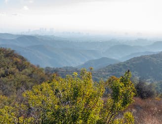
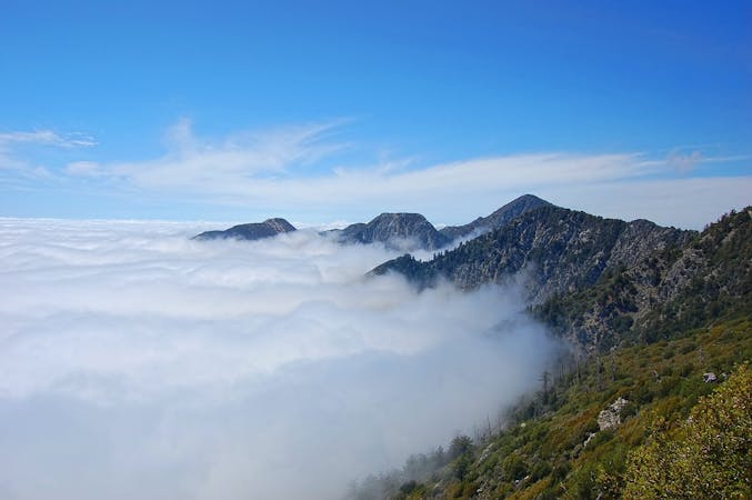
A tough mountain run with outstanding views over Los Angeles and Santa Monica.
Difficult Trail Running
A long, scenic ridgeline overlooking the ocean and downtown LA.
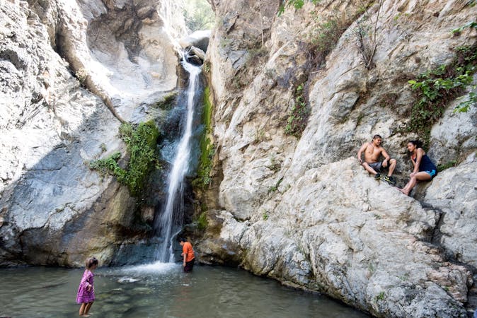
Difficult Hiking
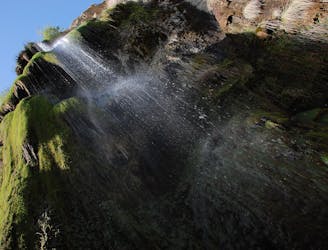
A tall waterfall in the Malibu Hills that flows after heavy rain.
Moderate Hiking
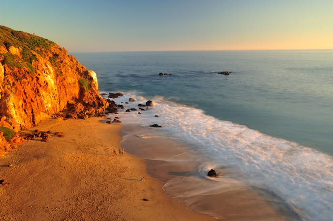
Ridgeline walk with ocean views above the Pacific Coast Highway
Easy Hiking

17 routes · Hiking
12 routes · Hiking
9 routes · Hiking
10 routes · Hiking
9 routes · Trail Running
4 routes · Trail Running
6 routes · Hiking

17 routes · Hiking · Trail Running