3 km away
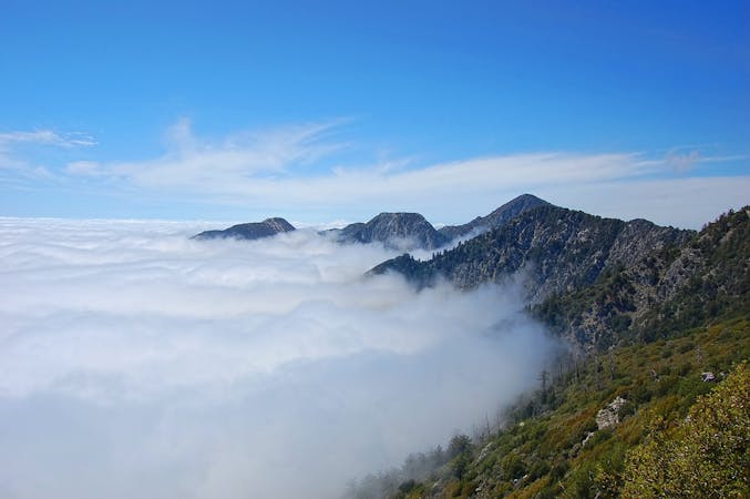
Temescal Ridge to Temescal Peak
A long, scenic ridgeline overlooking the ocean and downtown LA.
Difficult Hiking
- Distance
- 15 km
- Ascent
- 778 m
- Descent
- 778 m
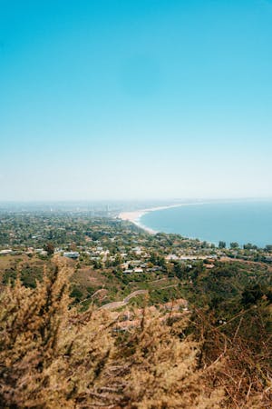
Reach one of the finest viewpoints in Greater LA
Hiking Moderate

Offering huge views across Los Angeles, the Pacific Ocean and the peaks of Topanga State Park, this is a superb hike just above Castellammare. One thing to note before saying anything else is that dogs are not allowed on this trail - leave your pooch at home!

There is a designated parking lot for the hike and it's easily reached from the Pacific Coast Highway. From the parking lot, follow the easy and well-signposted trail as it climbs - steeply at times - up the Los Liones Trail. The trail is bumpy and uneven, and is nicely shaded for much if its lower reaches. There are still plenty of sunny sections though, and the trail faces plum south, so pack plenty of water!
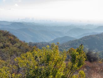
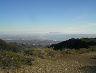
As the trail climbs it provides ever-improving views and becomes increasingly open. Eventually it joins the E Topanga Fire Road and reaches the famous Paseo Miramar viewpoint. The vista across Santa Monica, over towards downtown Los Angeles and across the epic Pacific Ocean is absolutely jaw-dropping and luckily there's a nice bench from which to admire it!
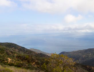
From the bench you can either retrace your steps back to the parking lot or carry on a little further along the E Topanga Fire Road to get some views to the north. Regardless of whether you "just" do this as an out-and-back hike or extend it with further exploration of Topanga State Park, the Los Leones Trail is one of the best short hikes in the region.
Moderate
Hiking along trails with some uneven terrain and small hills. Small rocks and roots may be present.

The trail contains some obstacles such as outcroppings and rock which could cause injury.
Away from help but easily accessed.
3 km away
A long, scenic ridgeline overlooking the ocean and downtown LA.
Difficult Hiking
3 km away
Combination valley and ridge hike, with a waterfall as well as hilltop views.
Moderate Hiking
5.4 km away
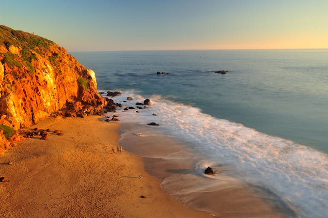
Ridgeline walk with ocean views above the Pacific Coast Highway
Easy Hiking
8.7 km away
An easy hike to a stunning view of the Santa Monica Mountains.
Easy Hiking

17 routes · Hiking
10 routes · Hiking
6 routes · Hiking
5 routes · Hiking