2 m away
Temescal Ridge to Temescal Peak
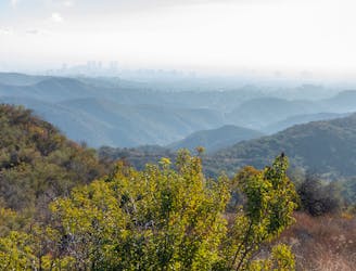
A long, scenic ridgeline overlooking the ocean and downtown LA.
Difficult Hiking
- Distance
- 15 km
- Ascent
- 778 m
- Descent
- 778 m
Combination valley and ridge hike, with a waterfall as well as hilltop views.
Hiking Moderate

Temescal Canyon is a getaway to nature very near Santa Monica and West Los Angeles. It’s a verdant canyon in the foothills of the Santa Monica Mountains, with a stream that flows for much of the year. A lovely waterfall flows in wet times, wildflowers bloom in spring, and all year long you can spot wildlife and find great views from ridgetop viewpoints. This loop accesses all of that in a mere 3 miles by combing Temescal Canyon Trail and Temescal Ridge Trail.
Start from Temescal Gateway Park. There is a parking fee there, but you can alternatively find free parking along Temescal Canyon Road south of Sunset Blvd and walk in. You can hike the loop in either direction. As mapped, it goes counterclockwise beginning in the canyon then climbing to the ridge. This makes for very gradual elevation gain at first, then a steep but short climb, followed by a gradual descent along the ridgeline. On a hot day, you might want to start early and reverse this, knocking out the ridge first while temps are cooler, and descending the shadier canyon as temperatures rise.
The canyon bottom is nicely forested with tall trees along the creek, but with patches of open field and brushy terrain. In places, the forest is so thick that the trail makes a tunnel through the tangle. A bridge crosses the creek right over the waterfall, which flows impressively after a good rain, but sometimes dries up completely.
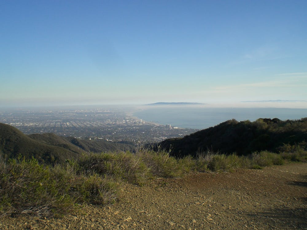
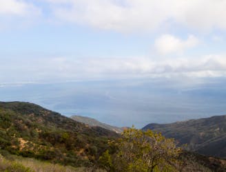
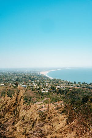
The vegetation transitions to chaparral along the hillsides and ridgetop, so they are quite sunny and afford nice views. From the ridge, you can see over the neighborhoods of Pacific Palisades on one side and the city of Santa Monica on the other, including a nice view of its beach, pier, and the ocean. A possible extension to this loop is to go farther north on Temescal Ridge Trail to reach more viewpoints and natural landmarks like Skull Rock and Temescal Peak.
Note that dogs on leash are allowed in Temescal Gateway Park, but most of this loop is outside the county park boundary and in Topanga State Park, where dogs are prohibited, so the hike is not dog-friendly. You can only take your dog on the first half mile of Temescal Canyon Trail.
Sources: https://trails.lacounty.gov/Trail/285/temescal-canyon-trail https://mrca.ca.gov/parks/park-listing/temescal-gateway-park/ https://socalhiker.net/hiking-temescal-canyon-loop/
Moderate
Hiking along trails with some uneven terrain and small hills. Small rocks and roots may be present.

The trail contains some obstacles such as outcroppings and rock which could cause injury.

Close to help in case of emergency.
2 m away
A long, scenic ridgeline overlooking the ocean and downtown LA.
Difficult Hiking
3 km away
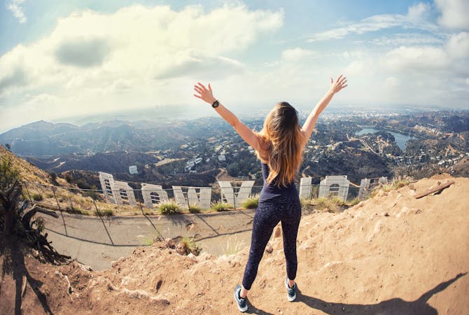
Reach one of the finest viewpoints in Greater LA
Moderate Hiking
8.1 km away
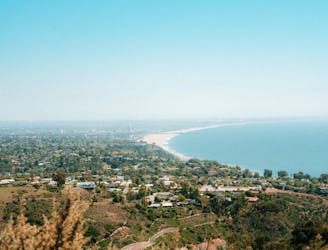
Ridgeline walk with ocean views above the Pacific Coast Highway
Easy Hiking
17 routes · Hiking
10 routes · Hiking
6 routes · Hiking
5 routes · Hiking