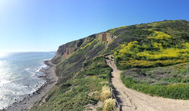
3.4 km away
Point Dume Trail
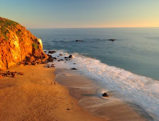
Spiraling path to a panorama over the Pacific, with tide pools and whale watching opportunities.
Easy Hiking
- Distance
- 1.8 km
- Ascent
- 80 m
- Descent
- 80 m
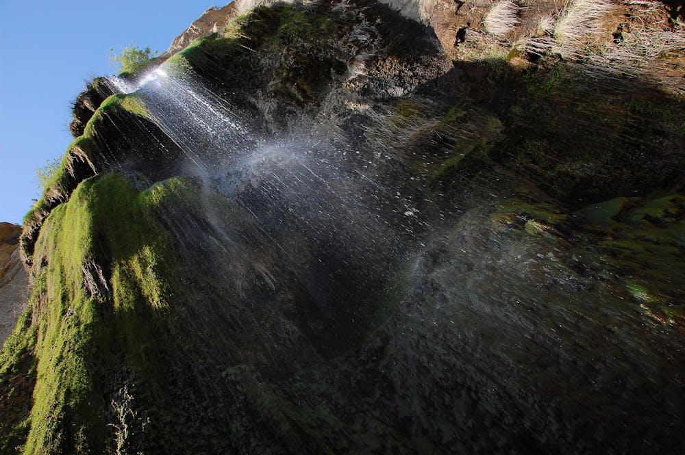
A tall waterfall in the Malibu Hills that flows after heavy rain.
Hiking Moderate

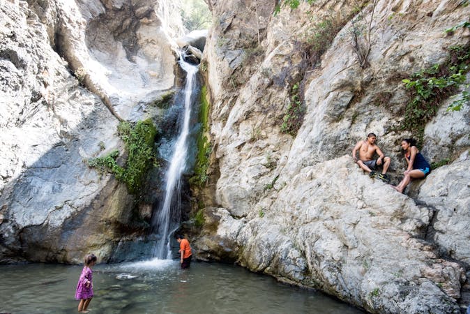
Escondido is one of the tallest waterfalls near LA, but it only flows seasonally. Come in the days following rainfall to see it at its best. The water streams down a 100-foot rock face that’s draped in greenery, then collects in a small pool and flows on down the canyon. When dry, the uphill trail through lush oak woodlands still makes for an enjoyable workout, but the hike is missing its highlight without the waterfall.
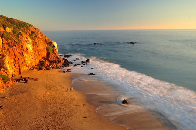
Parking is in a small lot on a road called Winding Way ($8 fee), at its junction with the Pacific Coast Highway. If the lot is full, you can park along the shoulder of the highway. Public parking is not allowed any farther along Winding Way. One drawback is that you have to walk for about a mile along this road through a residential area, but the scenery is not unimpressive. The houses are Malibu mansions overlooking the ocean, and flowers along the road are gorgeous in spring.
Soon enough, you’ll reach a signed trailhead and leave the road for a dirt path that leads into a forested canyon with a creek. This is the creek that flows from the falls, so if it has water, you’re in luck. You’ll have to cross the water and mud in some places, where you can either carefully step on logs and rocks, or get your feet wet and slosh through.
The trail gets steeper as it goes on, aiming for a deep cleft in the mountainside ahead. The destination is a shady cove where tall, twisted trees perfectly frame the verdant waterfall. You can wade in the pool and stand under the falling water—perfect refreshment on a hot day.
Note: There is an upper waterfall that’s possible to reach on a steep continuation of the trail, but it’s located on private property and closed to the public. It’s also a hillside that burned in a 2018 wildfire, so it's very unstable. Climbing it would be unsafe to you and damaging to the recovery of vegetation. Therefore, the hike described here ends at the lower falls, which is the Escondido Canyon Park boundary.
Sources: https://mrca.ca.gov/parks/park-listing/escondido-canyon-park/ https://www.world-of-waterfalls.com/waterfalls/california-escondido-falls/
Moderate
Hiking along trails with some uneven terrain and small hills. Small rocks and roots may be present.

The trail contains some obstacles such as outcroppings and rock which could cause injury.

Close to help in case of emergency.
3.4 km away
Spiraling path to a panorama over the Pacific, with tide pools and whale watching opportunities.
Easy Hiking
9.7 km away
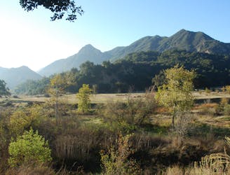
Scenic hike through Malibu Creek State Park to the filming location of a famous TV show.
Easy Hiking

17 routes · Hiking
12 routes · Hiking
9 routes · Hiking
6 routes · Hiking
5 routes · Hiking