3.2 km away
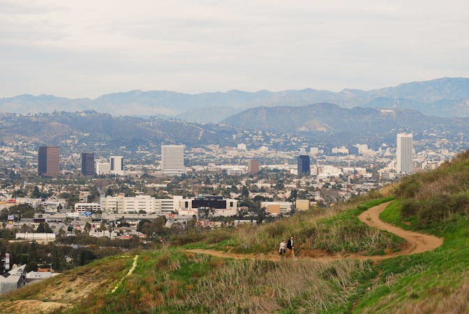
Sullivan Canyon and Westridge Loop
A tough mountain run with outstanding views over Los Angeles and Santa Monica.
Difficult Trail Running
- Distance
- 15 km
- Ascent
- 562 m
- Descent
- 562 m
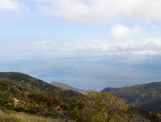
A complete traverse of the Santa Monica Mountains outside of Los Angeles along the Backbone Trail with terminuses at Will Rogers State Park and Ray Miller Trailhead
Trail Running Difficult

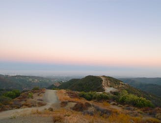
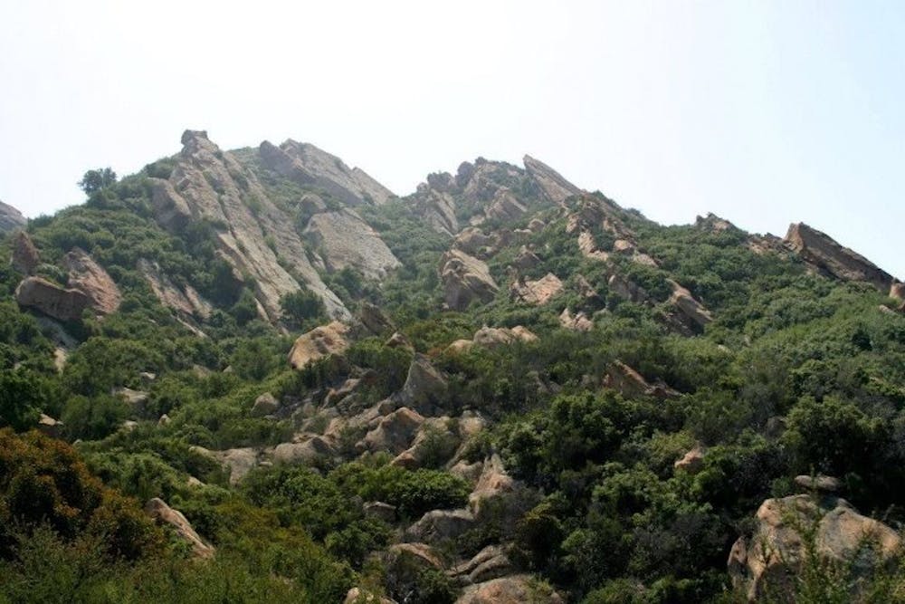
This is a complete traverse of the Santa Monica Mountains on a single trail, the Backbone Trail. Therefore, the route is rad!
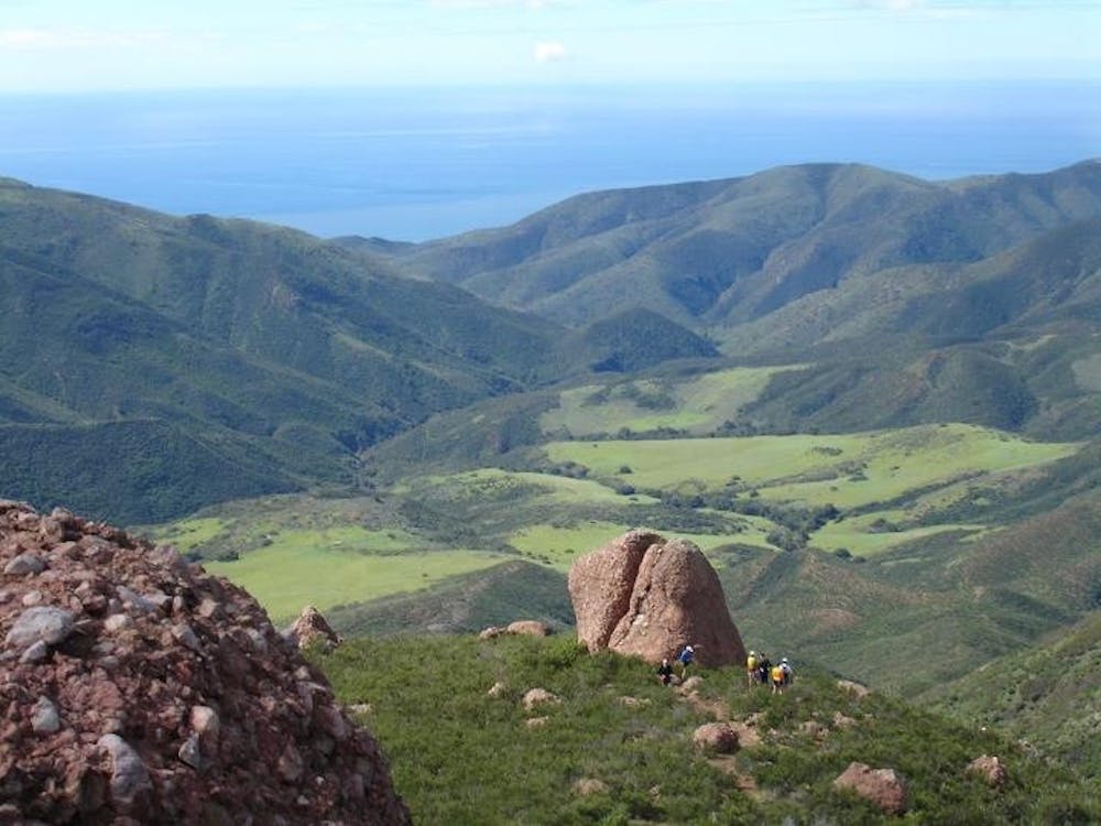
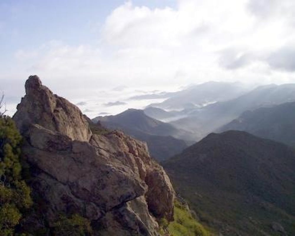
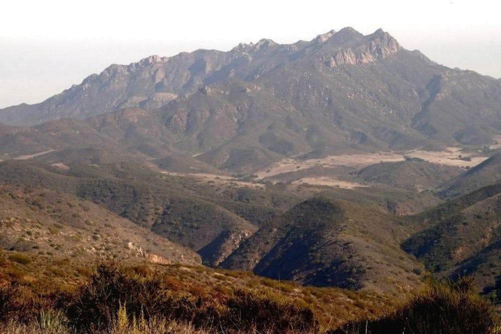
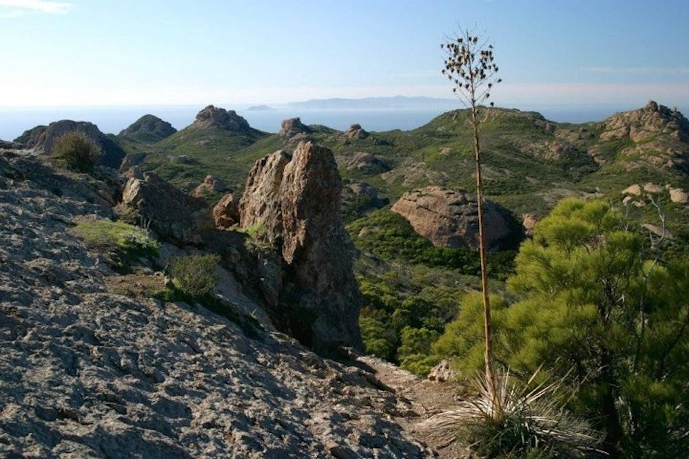
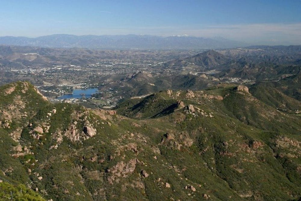
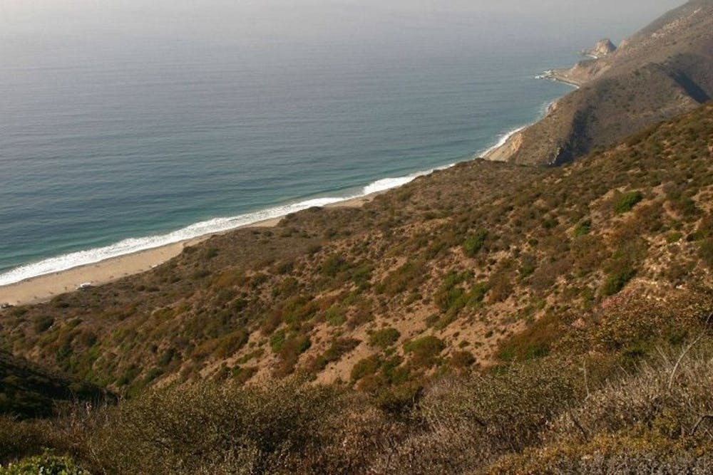
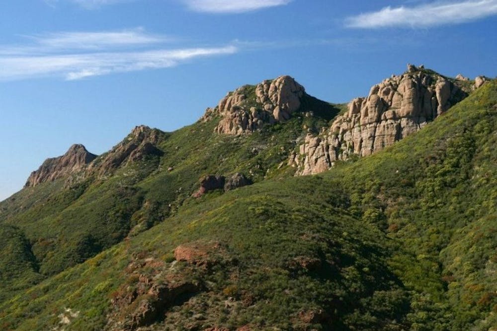
It is one of my favourite runs that I have done in the US, hands down. You get views of the mountains and the Pacific Ocean along much of the course. And, the vegetation, smells, and sounds are distinctively SoCal!
The route is fairly straightforward. It follows the same trail throughout the entire route. That said, there are many trails that intertwine along the Santa Monicas so having a good study of the route beforehand, and reviewing at junctions could be of benefit!
It is a point-to-point route so having someone pick you up at the other end would be great!
Difficult

The trail contains some obstacles such as outcroppings and rock which could cause injury.
Away from help but easily accessed.
3.2 km away
A tough mountain run with outstanding views over Los Angeles and Santa Monica.
Difficult Trail Running
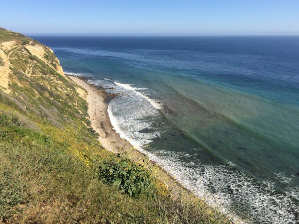
9.6 km away
Ridgeline run with ocean views above the Pacific Coast Highway
Easy Trail Running
9 routes · Trail Running
4 routes · Trail Running

17 routes · Hiking · Trail Running