2 m away
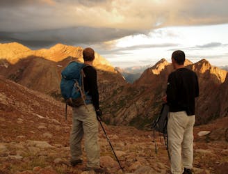
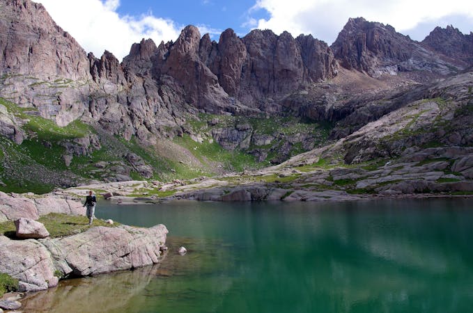
Sunlight Peak and Windom Peak from Needleton
A two-peak combo deep in the Weminuche Wilderness featuring one of Colorado's most technical 14ers.
Difficult Alpine Climbing
- Distance
- 30 km
- Ascent
- 2.1 km
- Descent
- 2.1 km
Climb two of Colorado's most remote 14ers, hidden deep in the Weminuche Wilderness.
Alpine Climbing Moderate
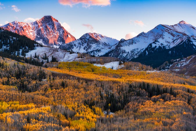
Mount Eolus and North Eolus are two of four 14ers "located deep in the rugged Needle Mountains of Southwestern Colorado," according to Rmjwinters on SummitPost.org. The other two mountains in this formation are Sunlight Peak and Windom Peak, but comboing all four of these peaks into one day is quite rare.
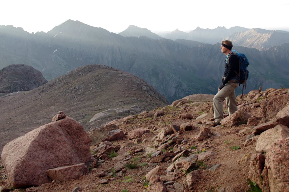
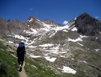
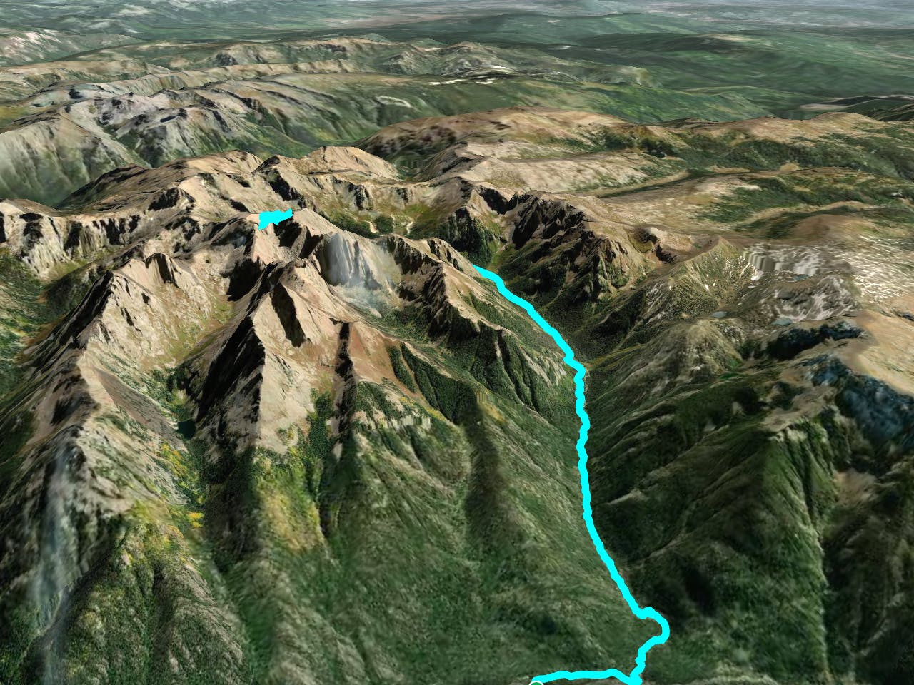
While this route is mapped from the trailhead near Needleton, most climbers opt to backpack deep into the Weminuche Wilderness and set up a basecamp in the Chicago Basin below these lofty mountain peaks. From that basecamp, they often summit Sunlight Peak and Windom Peak in one day, and Mount Eolus and North Eolus on a second day. With one day for the approach and one day for the egress, this is a burly four-day backpacking and peak climbing itinerary!
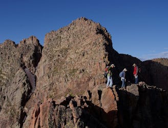
The climb to reach the summits of these twin peaks features airy Class 3 climbing with "stimulating exposure," according to Diggler on SummitPost.Org. From the lakes in Chicago Basin, pick up the well-defined trail heading west, as noted here in FATMAP. The lower section of the route traverses some exposed rock slabs and then climbs a Class 2 rock ramp.
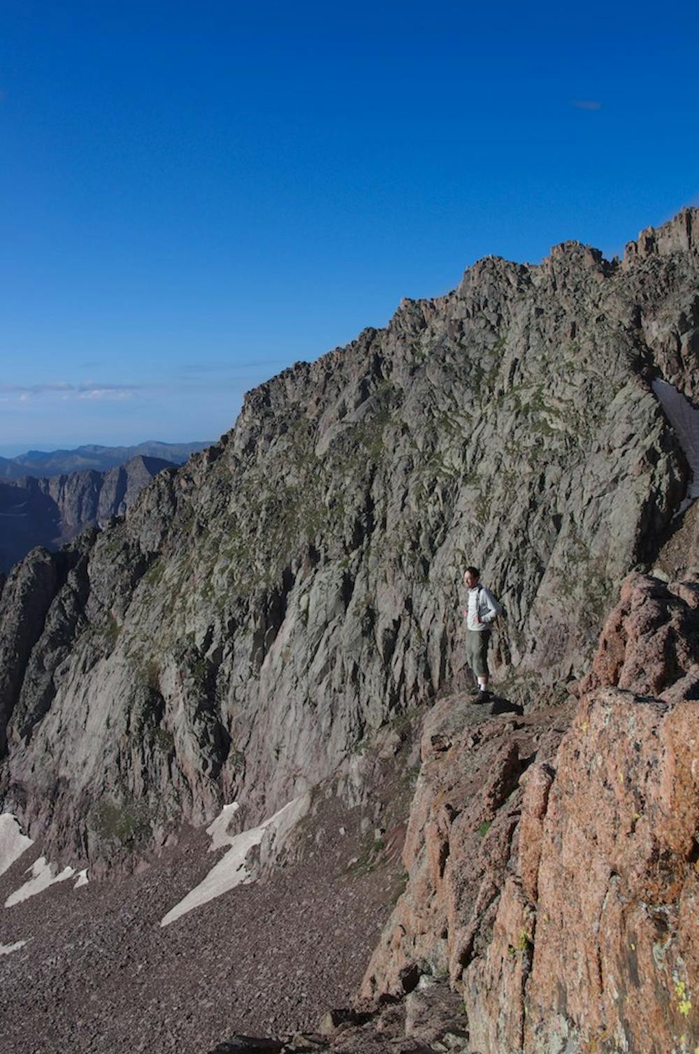
Next, you need to gain the ridge. Look for "a notch in the ridge just above a short, green gully," according to 14ers.com. It's best to gain the ridge near this point, but you'll have to negotiate some Class 3 climbing to do so.
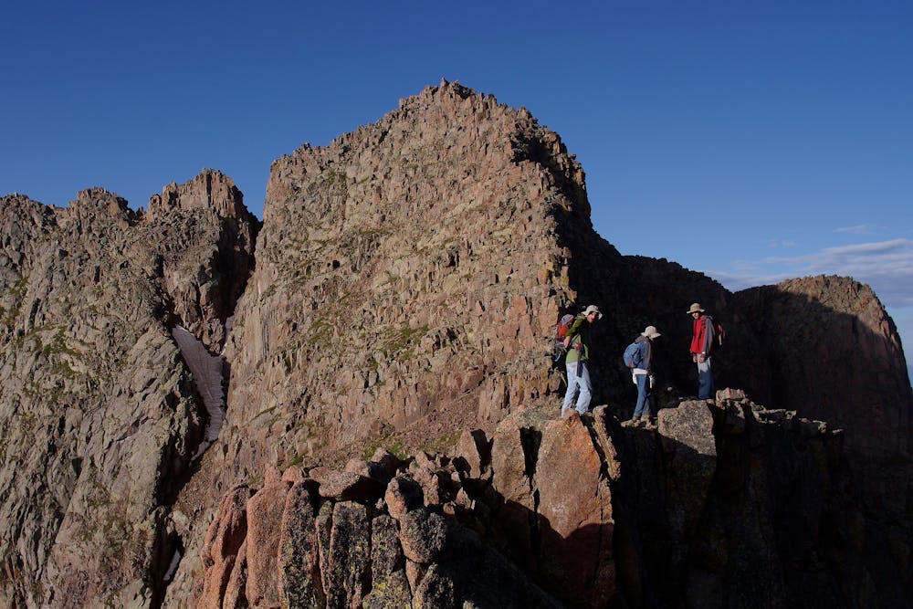
Once on the ridge, it's time to tag both Mount Eolus and North Eolus in quick succession. Along this ridge, you'll have to negotiate a famous section known as the "Catwalk," which is relatively easy, but still requires some Class 3 scrambling. Beware the exposure.
The final pitches to both Mount Eolus and North Eolus require exposed Class 3 scrambling via largely unmarked terrain. Route finding is required, and you should feel confident both scrambling and route finding in high consequence terrain at high elevation. If you successfully negotiate the exposed Class 3 terrain, you'll have checked two of Colorado's most remote 14ers off your hitlist!
Once you've tagged the summits on either end of the ridge, descend back to basecamp via the route you took to the top.
Sources: http://summitpost.org/sunlight-peak/150917 https://www.summitpost.org/mount-eolus/150535 https://www.14ers.com/route.php?route=eolu3&peak=Mt.+Eolus%2C+Windom+Peak%2C+and+Sunlight+Peak
Moderate
May involve slightly more complex glacier hikes, easy but possibly long rock ridges and steep snow up to 45 degrees. Equivalent to PD, PD+

Much of the route is difficult to protect and a fall could be disastrous at certain points.

In the high mountains or remote conditions, all individuals must be completely autonomous in every situation.
2 m away
A two-peak combo deep in the Weminuche Wilderness featuring one of Colorado's most technical 14ers.
Difficult Alpine Climbing
7.7 km away
A two-peak combo deep in the Weminuche Wilderness featuring one of Colorado's most technical 14ers.
Difficult Alpine Climbing
7.7 km away
Climb two of Colorado's most remote 14ers, hidden deep in the Weminuche Wilderness.
Moderate Alpine Climbing
10 routes · Alpine Climbing · Hiking
6 routes · Alpine Climbing

46 routes · Alpine Climbing · Hiking
3 routes · Alpine Climbing · Hiking