While the 7.7-mile round-trip distance and ~3,400 feet of vertical gain are relatively achievable, Sultan Mountain (along with 13,087-foot Spencer Peak, which you cross along the way) is a rather obscure 13er. Thus, the route to the top isn't a designated trail and requires a substantial amount of off-trail navigation. To avoid getting lost, be sure to download this route for offline navigation.
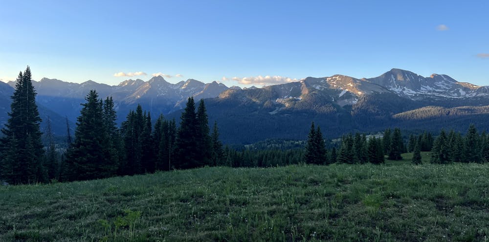
To begin the hike, park at the Colorado Trail trailhead near Little Molas Lake and then hike back along the dirt road to the point where the road splits before entering the small campground. While Sultan might be a lowly 13er, the easy access via Molas Pass and the 2wd dirt road to the trailhead means you might encounter a few other hikers with the same objective.
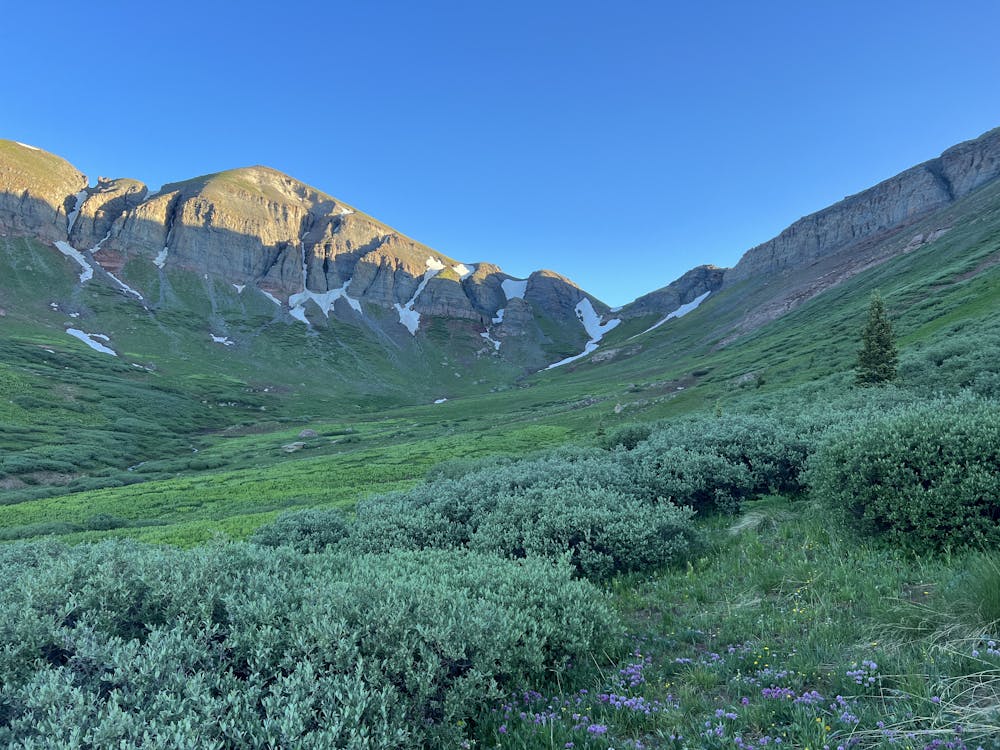
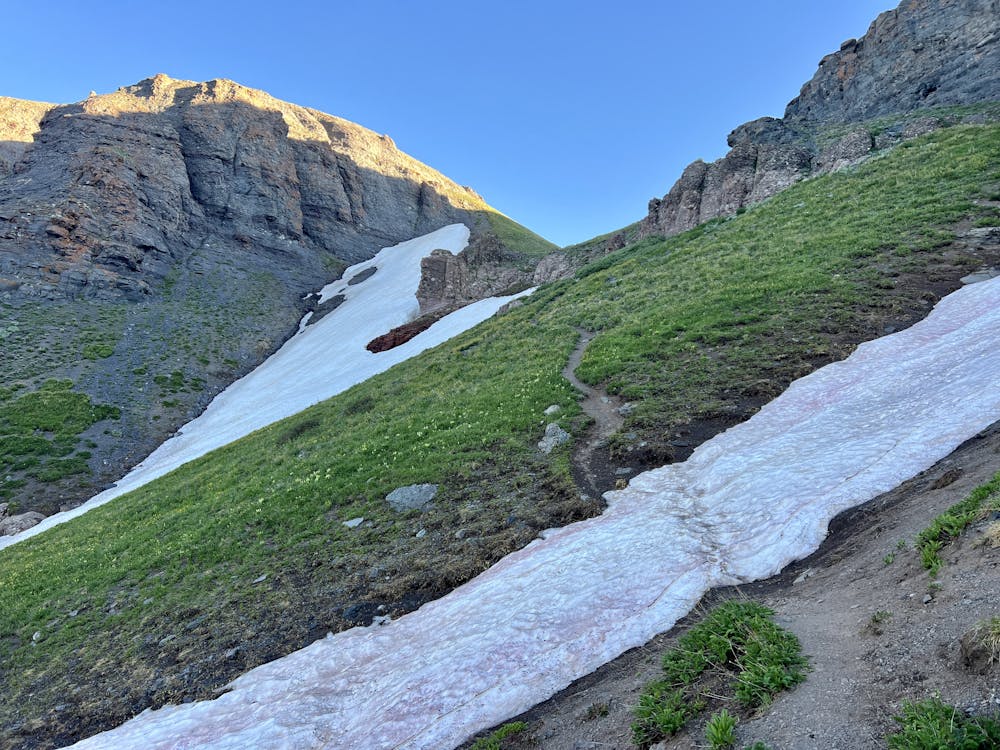
At the split in the road, you'll find a faint trail heading off the road and up into the trees. While you'll be able to follow this track for a short way, it soon fades out, and you'll have to follow this GPS line to navigate through a series of alpine meadows as you climb out of the trees and into an alpine basin. Thankfully, the walking is fairly easy due to the low-lying vegetation. There are a few steep and loose pitches to climb in this section, but they're all easy to overcome.
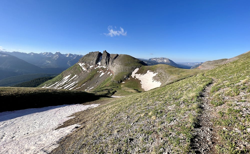
As you climb into the alpine basin, you can ascend the righthand side and pick up a social trail that grows more defined as you approach the notch at the end of the basin. This trail continues in one form or fashion all the way to the tops of Spencer Peak and Sultan Mountain, making for surprisingly easy hiking (compared to most alpine climbs) for the rest of the distance.
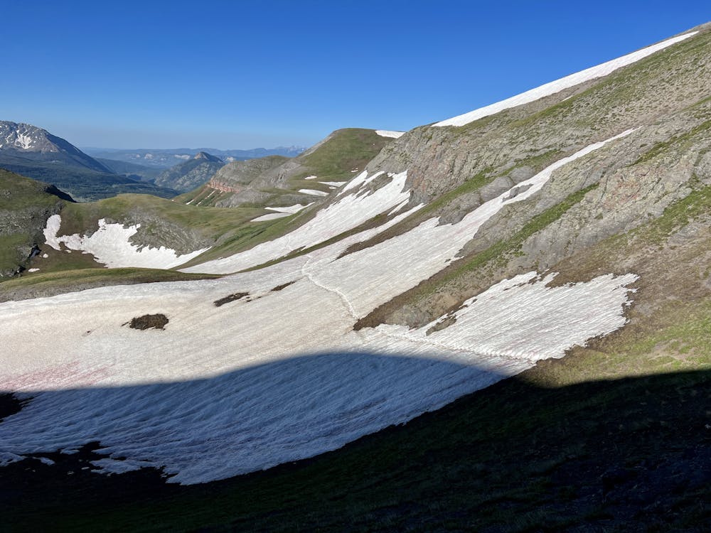
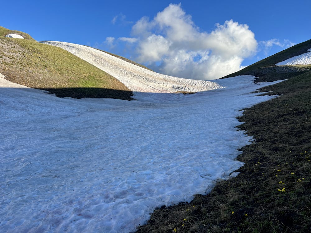
After gaining the first, saddle, you'll skirt along the side of the ridge. Depending on the time of year, you may have to cross some substantial snowfields. These snowfields are set on a steep side slope, so exercise caution. Using trekking poles for stability or carrying an ice axe to self-arrest if you slip and fall is a good idea through this section. Also, try to cross the snowfields both ways before they warm up too much to avoid the danger of a wet avalanche.
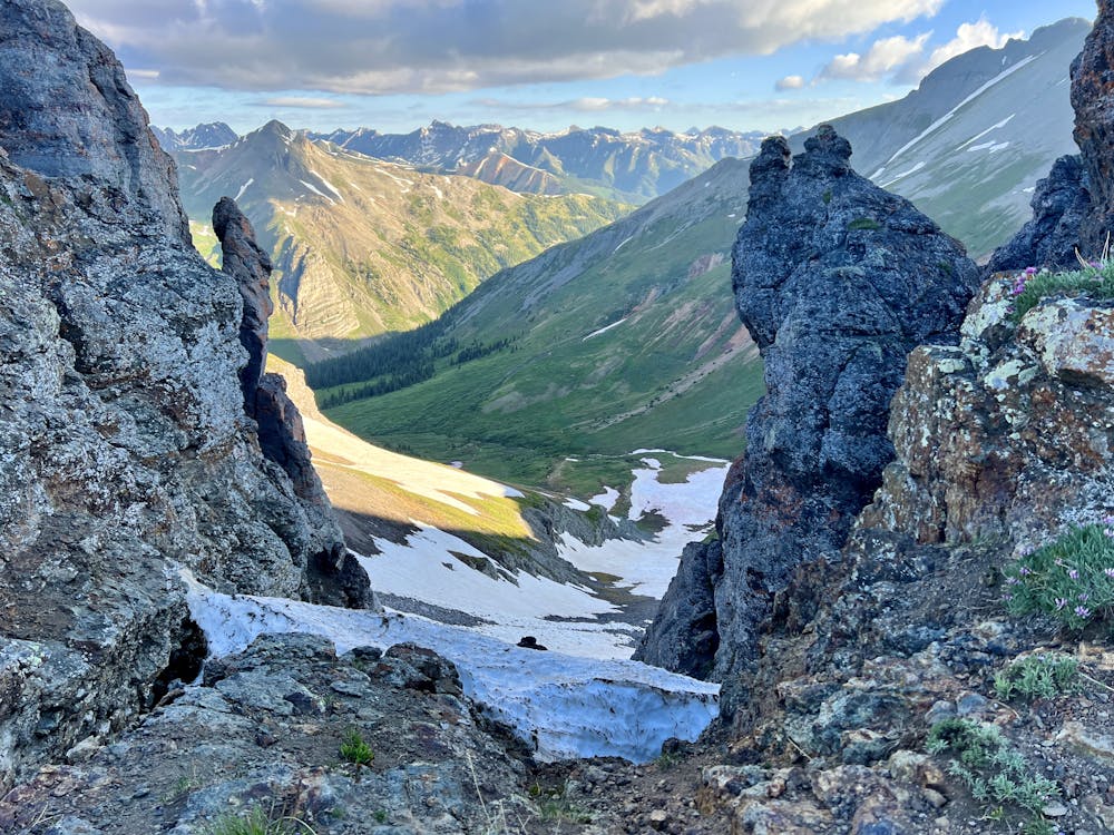
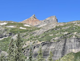
After crossing the snowfields, you'll climb to another pass below Spencer Peak. There are a few rock formations here, and you can either scramble through them on top of the ridge or skirt around below them.
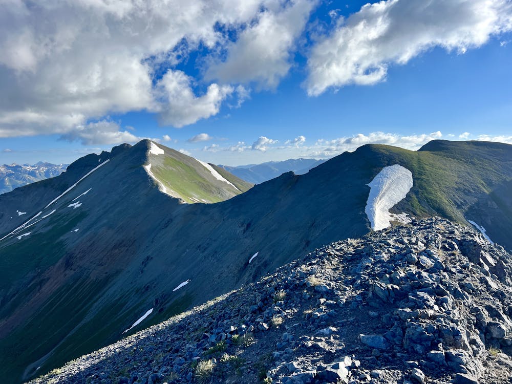
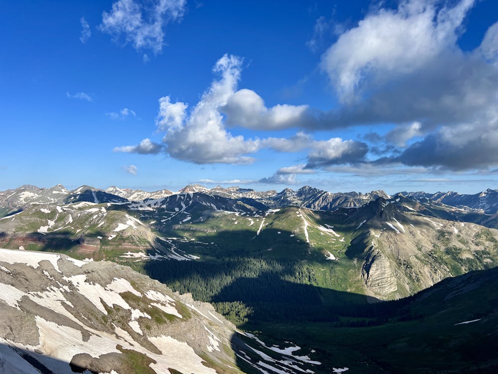
From here, it's a quick jaunt to the top of Spencer Peak for your first summit of the hike. From the top of Spencer, you can see the rest of the route unfurling toward Sultan Mountain. The trail descends from Spencer, traverses around the lefthand (visible) side of the next knob, then drops to a small saddle before its ascent to the top of Sultan.
Most of the hiking along these mountain tops and ridge sides is fairly straightforward scree field hiking, with loose, sliding scree and exposure as the only notable dangers. The traverse around the knob between Spencer and Sultan is fairly exposed, with some small cliff bands below and over a thousand feet of steep scree and boulders creating a no-fall zone.
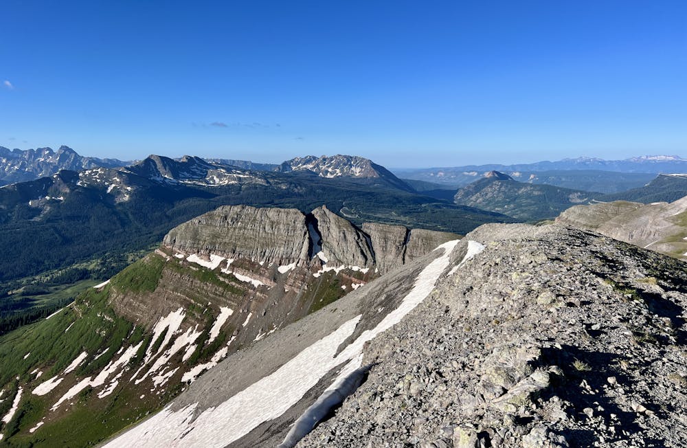
(Note: if you also want to tag Grand Turk while you're up in this area, you'd climb the knob between Spencer and Sultan, take a right on the ridgetop, and hike over a few knobs to reach the top of Grand Turk. Then, turn around, retrace the ridge, and descend toward Sultan to reach the highpoint of the formation.)
Once done at the top of Sultan, retrace your steps back to the Little Molas Lake trailhead. Note that you can bypass the very top of Spencer on your way back to save you about a hundred feet of climbing.
All things considered, this is quite an achievable summit hike or easy mountaineering objective. Arguably the off-trail navigation down low is the most challenging part, but FATMAP makes that section a cinch.