9.8 km away
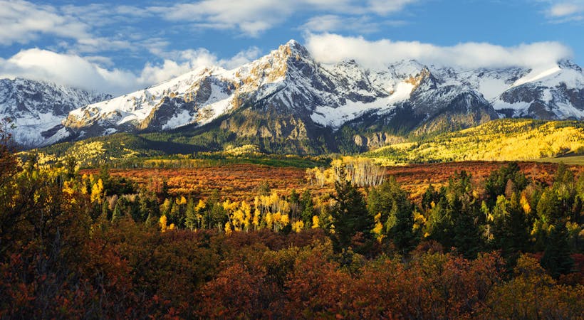
El Diente and Mount Wilson Combo
A technical combo of two San Juan 14ers.
Moderate Alpine Climbing
- Distance
- 20 km
- Ascent
- 1.4 km
- Descent
- 1.4 km
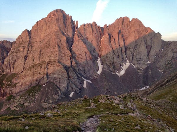
Climb the peak pictured on every can of Coors beer!
Alpine Climbing Moderate

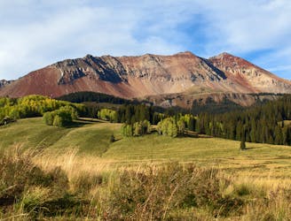
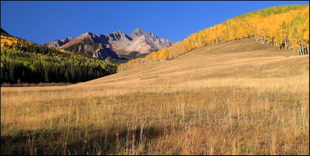
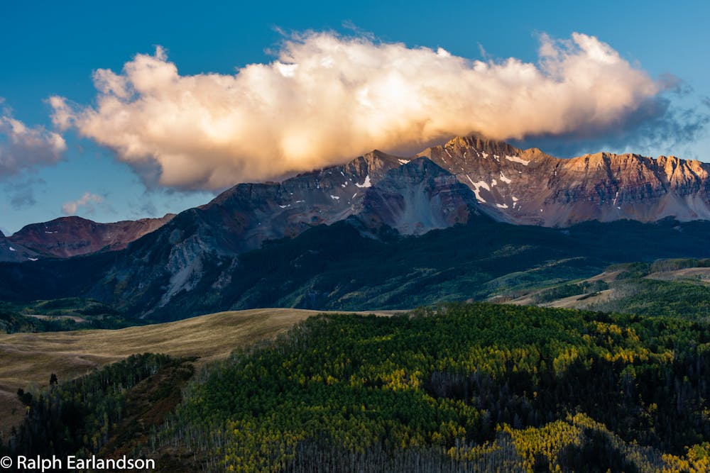
Wilson Peak may be best-known for "figuring prominently on all the Coors labels and products," according to Kiefer on SummitPost.org. This mighty summit soars to 14,023 feet (or 14,016 feet—sources are inconsistent) above sea level and boasts a prominence of 856 feet above the nearby mountains. The prominent mountain features an impressive visual profile, making it the perfect mountain peak to represent the original Colorado beer.
To reach the summit for yourself, head toward the primary climb via the Rock of Ages approach trail. The route mapped here will guide you along this lengthy approach, through the basin, and eventually reaching the Rock of Ages Mine and Rock of Ages Saddle.
From the Rock of Ages Saddle, you'll "Cross the narrow saddle on a good trail and continue across a rugged slope to reach the small saddle between Gladstone Peak and Wilson Peak," according to 14ers.com. Now, the climb gets interesting. You can either scramble north and descend slightly to reach an easier Class 2 climb, or you can follow the direct approach for a more difficult Class 3 climb.
The rest of the climb follows the ridge, climbing and descending a false summit along the way. Much of the rest of the climb is in challenging Class 3 terrain, at high elevation, and with substantial exposure. Ensure you're up for the task before you attempt this difficult climb!
Once you've savored the views from Wilson Peak, return the way you came.
Sources: https://www.summitpost.org/wilson-peak/150382 https://en.wikipedia.org/wiki/WilsonPeak https://www.14ers.com/route.php?route=wils1&peak=Mt.+Wilson%2C+Wilson+Peak%2C+and+El+Diente+Peak
Moderate
May involve slightly more complex glacier hikes, easy but possibly long rock ridges and steep snow up to 45 degrees. Equivalent to PD, PD+

Much of the route is difficult to protect and a fall could be disastrous at certain points.

In the high mountains or remote conditions, all individuals must be completely autonomous in every situation.
9.8 km away
A technical combo of two San Juan 14ers.
Moderate Alpine Climbing
10 routes · Alpine Climbing · Hiking
6 routes · Alpine Climbing

46 routes · Alpine Climbing · Hiking
4 routes · Alpine Climbing