1.4 km away
Sally Barber Road
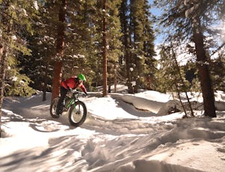
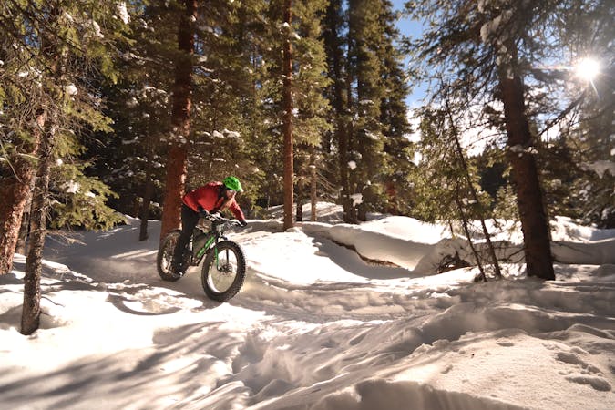
The perfect place to introduce a beginner to the world of fat biking.
Easy Fat biking
- Distance
- 8.5 km
- Ascent
- 226 m
- Descent
- 226 m
Pedal up to 11,500 feet on Boreas Pass.
Fat biking Easy

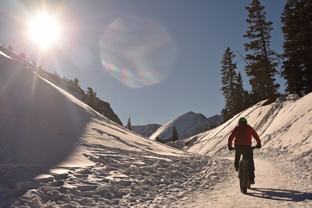
Boreas Pass Road is a dirt road that travels over (you guessed it) Boreas Pass at 11,500 feet elevation to connect Breckenridge and Como, Colorado. It is open to cars in the summer, but when the road is closed in the winter time it transforms into one of the most popular winter recreation hotspots in Breckenridge. From snowshoers to fat bikers to cross country skiers and even snowmobilers, everybody that enjoys traveling on snow can make use of Boreas Pass Road to climb high into the mountains of White River National Forest.
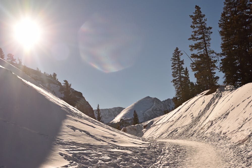
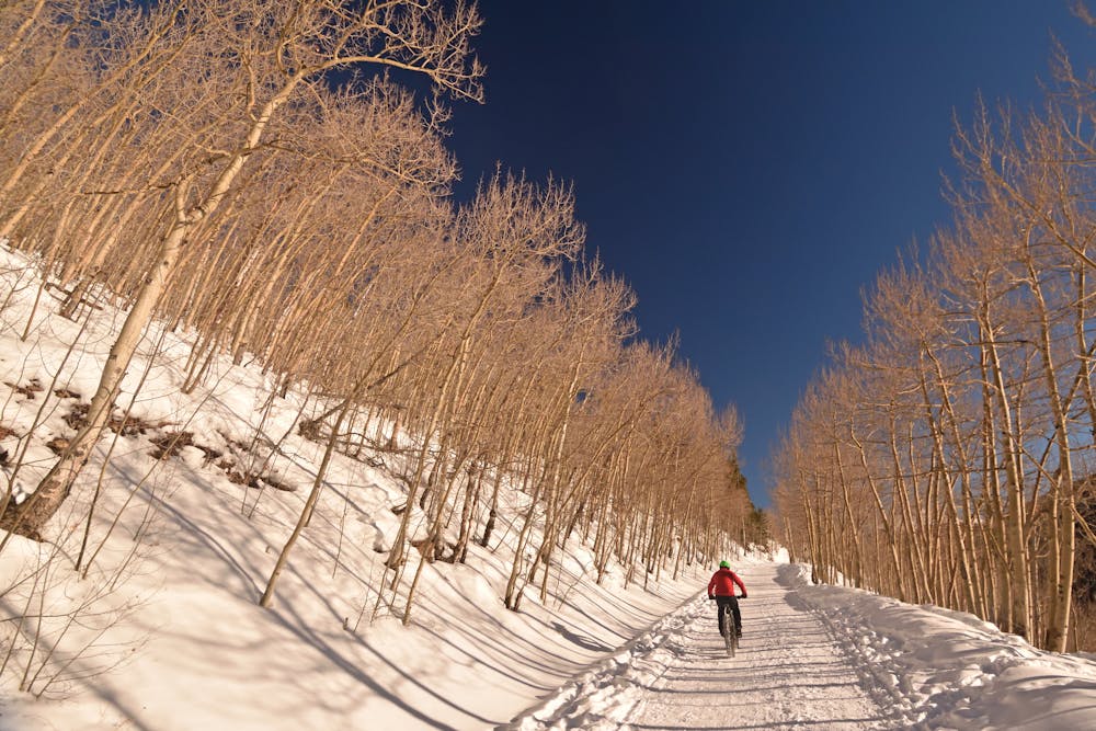
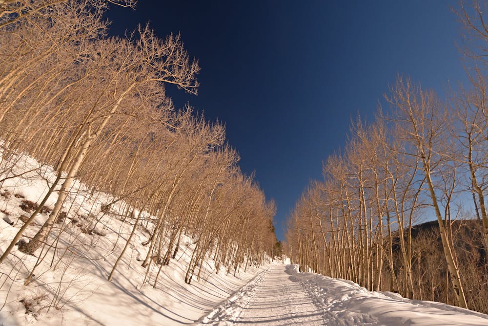
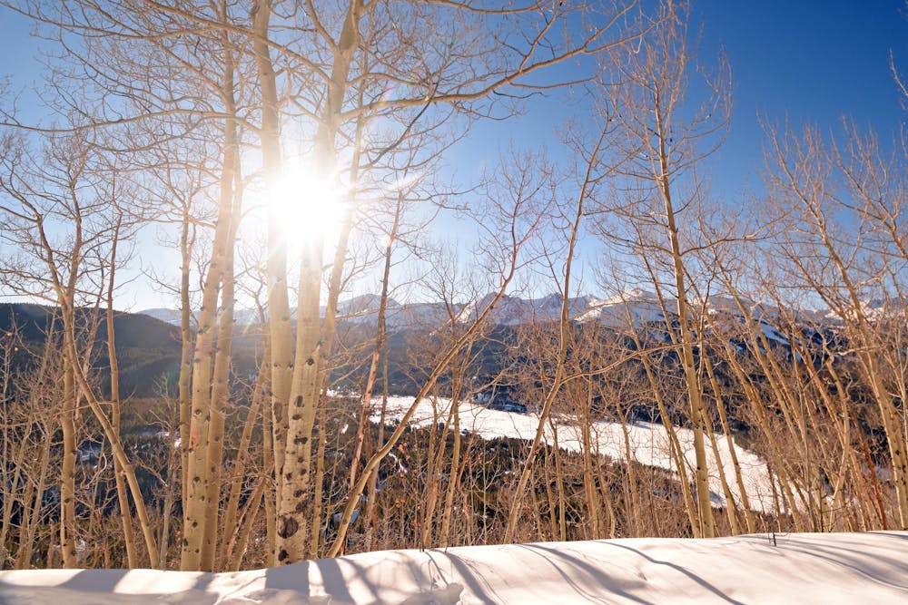
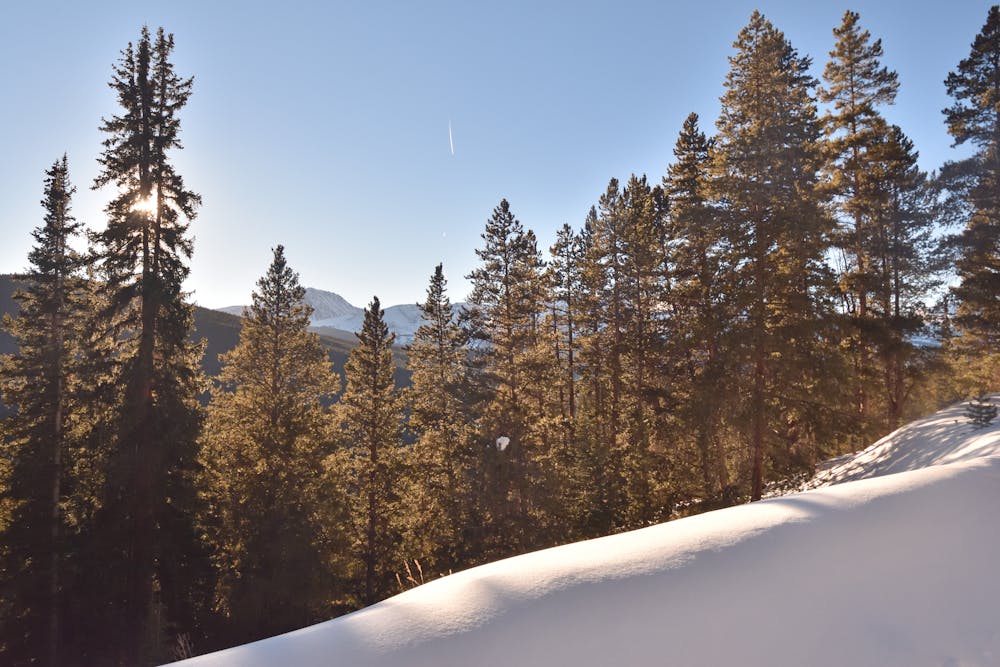
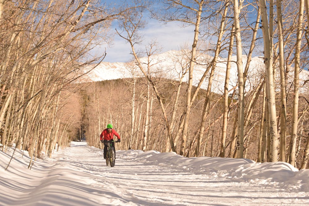
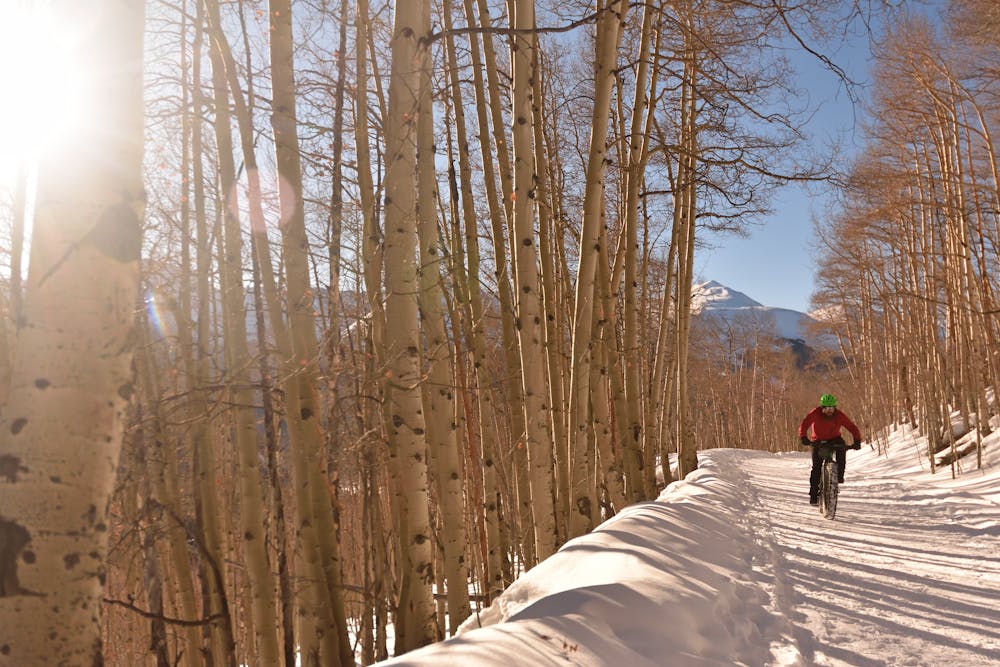
Beginning from Breckenridge, take Boreas Pass Road south of town until the pavement ends and a gate marks the boundary of the national forest. Beautiful aspen groves are the first major attraction, especially when the leaves change in fall. From clearings, which are plentiful, you’ll get great views over your shoulder of Breckenridge Ski Resort and of the high peaks all around. Mt. Argentine is the treed summit just across the valley to the west, and Bald Mountain is the steep-sided giant that towers directly overhead.
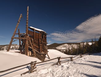
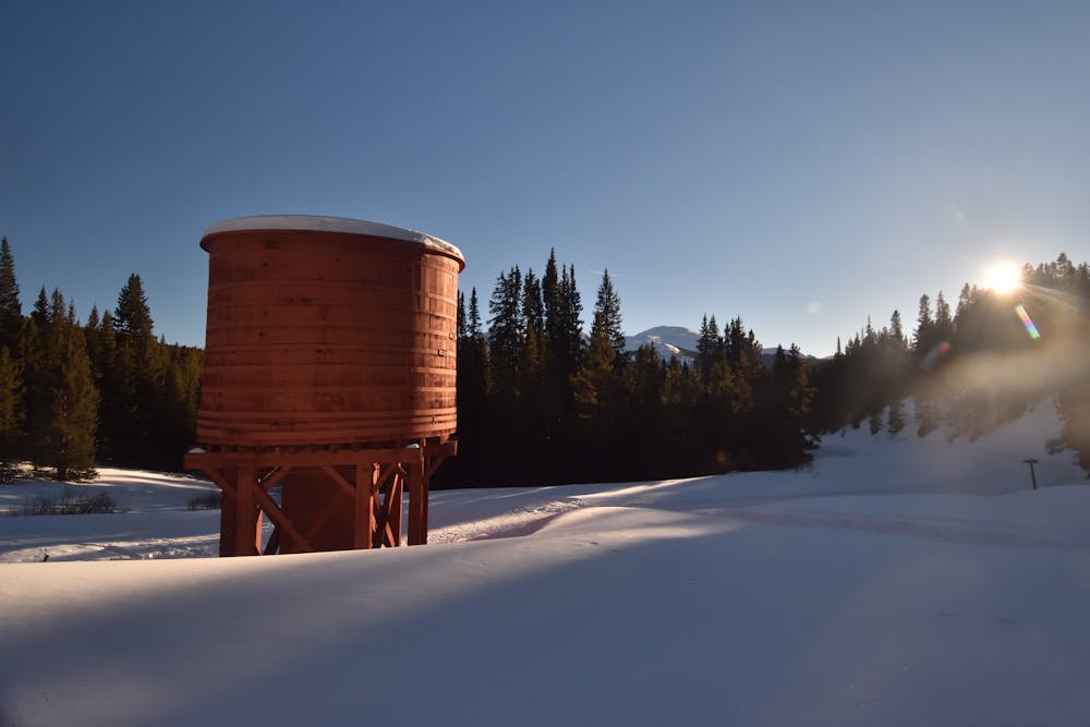
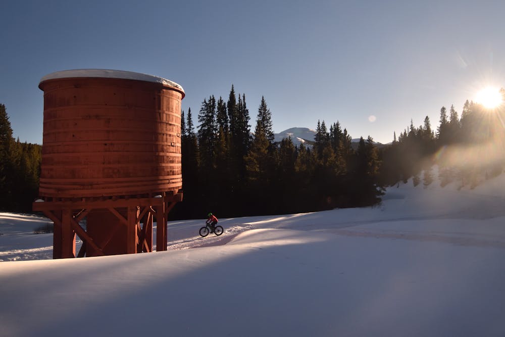
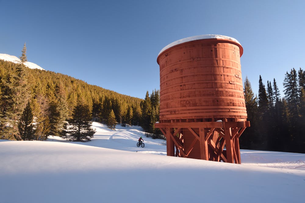
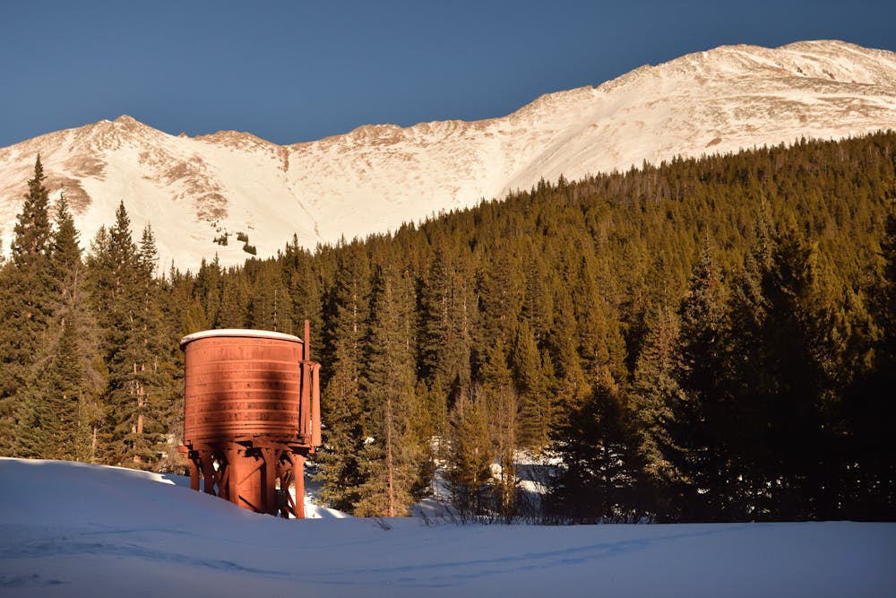
This pass used to be a major mining corridor with a railroad through it. Along the way you can find remnants of the mine towns and the railroad machinery. Some of the sites are marked but others are not, so keep your eyes peeled. Also watch for wildlife like deer, elk, and mountain goats.
The bikeability of Boreas Pass depends largely on how much traffic has been up and down the pass recently. Some riders have reported it as being not very fat bike friendly, while others have raved about the incredible fat biking on the pass. Your mileage may vary.
With a 6.5-mile pedal all the way up to the top of the pass at 11,500 feet, this presents a very respectable-length fat bike ride for those looking to log some serious miles and elevation gain. If a 13-mile round trip ride isn’t enough for you, you can always continue over the top and down the backside toward Como—just remember that you’ll have to pedal back up every foot that you descend!
Sources: https://www.fs.usda.gov/Internet/FSEDOCUMENTS/stelprdb5186841.pdf
Easy

The path is on completely flat land and potential injury is limited to falling over.

Away from help but easily accessed.
1.4 km away
The perfect place to introduce a beginner to the world of fat biking.
Easy Fat biking
2.5 km away
A superb fat biking loop mixing packed singletrack and a wide road grade.
Moderate Fat biking
4 routes · Fat biking