1.1 km away
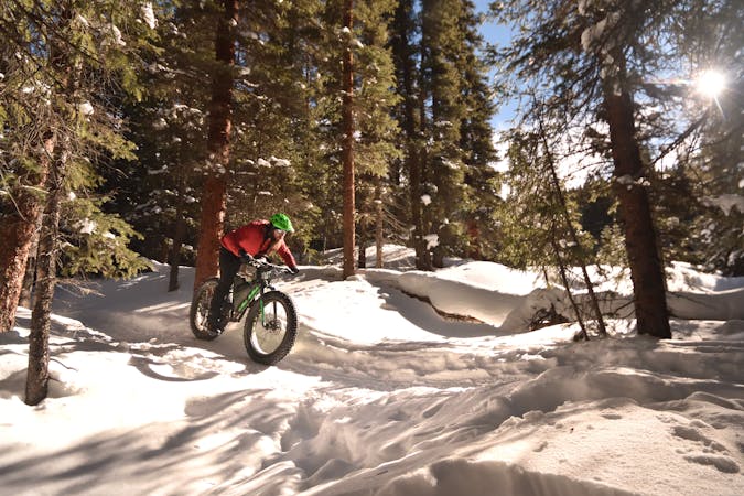
B&B Mine Loop
A superb fat biking loop mixing packed singletrack and a wide road grade.
Moderate Fat biking
- Distance
- 9.5 km
- Ascent
- 247 m
- Descent
- 247 m
The perfect place to introduce a beginner to the world of fat biking.
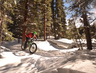
Fat biking Easy

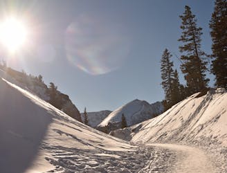
The Sally Barber Road is off limits to motor vehicle traffic in the winter, making it one of the most popular venues for human powered winter recreation in Breckenridge. From snowshoeing to nordic skiing to fat biking, everybody can enjoy Sally Barber Road.
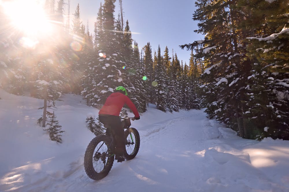
The route is very straightforward. The road climbs moderately to a summit at Sally Barber Mine, and then descends down the opposite side. Most people will choose to travel this road as an out-and-back route, so if you don’t want to climb back up the hill, it’s best to turn around at the mine at the top.
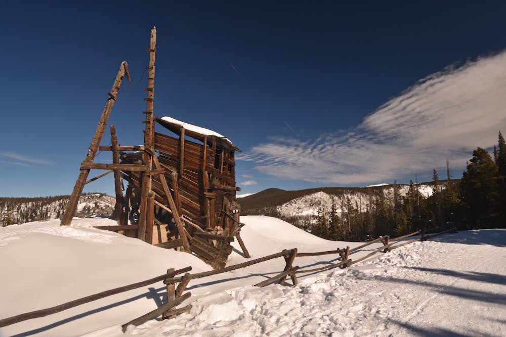
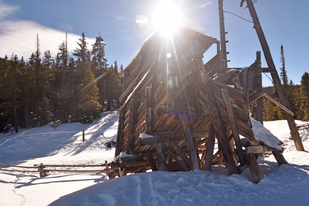
The views from the mine are simply stunning! If you want to stop, take a few photos, and eat lunch, this is the place to do it. Take some time to walk around and check out the historic mining machinery spread around the hilltop and in the woods… if it isn’t buried. There are very few places in Colorado like Sally Barber where you can take in so many historical artifacts.
The popularity of the road helps keep it packed down and easy to travel. You also have the peace of mind that somebody else will come along if you happen to experience issues while out in the mountains. However, this popularity can be a double-edged sword: if you’re looking for solitude, you’d best look elsewhere.
Easy

The path is on completely flat land and potential injury is limited to falling over.
Close to help in case of emergency.
1.1 km away
A superb fat biking loop mixing packed singletrack and a wide road grade.
Moderate Fat biking
1.4 km away
Pedal up to 11,500 feet on Boreas Pass.
Easy Fat biking
4 routes · Fat biking