28 m away
Little Hourglass

A steep apron that funnels into a narrow mandatory cliff move before opening up in the runout.
Severe Freeride Skiing
- Distance
- 162 m
- Ascent
- 0 m
- Descent
- 91 m
A steep rocky run with a closeout choke on the far skier's left of Sock it to Me Ridge.
Freeride Skiing Severe

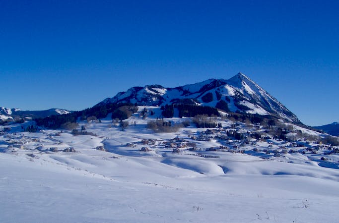
Cess Pool is a a steep rocky run with a closeout choke before it opens back up at to finish. It is accessed from the top of the Sock it to Me Ridge. From there, ski left past Little Hourglass to where Cess Pool begins with an relatively open (a few trees) apron that descends towards a choke move. In low snow years, the choke can be over two feet high, and requires careful decisive moves. There are variations to the left and right, including a fun larger drop on the skier's left side of the choke. There is also a fun tree chute that fills in nicely on good snow years. It is bordered by Little Hourglass on the skier's right, and Phaser trees on the skier's left. Exit via the cat road at the bottom which dumps you out on East River's Black Eagle.
Severe
Steep skiing at 38-45 degrees. This requires very good technique and the risk of falling has serious consequences.

Little chance of being seen or helped in case of an accident.
28 m away
A steep apron that funnels into a narrow mandatory cliff move before opening up in the runout.
Severe Freeride Skiing
53 m away

A steep thicker tree section on the far skiers left of the Sock it to Me Ridge.
Severe Freeride Skiing
118 m away

A large cliff area in the far upper skier's right of the Sock it to Me Ridge.
Extreme Freeride Skiing
184 m away

A thick tree run through the steep trees that separate Slot Rocks and Sock it to Me Ridge.
Severe Freeride Skiing
186 m away
A steep tree run containing cliffs and rocks near the Staircase section of the North Face.
Extreme Freeride Skiing
189 m away

Buck's Traverse gives you the chance to get back to Paradise Express from Last Steep if don't want to head to East River.
Moderate Freeride Skiing
205 m away

Keyhole / Last Stash is a steep pitch in tight trees above Last Steep, accessed by a short side-step above "Easy Out" Exit To Paradise.
Difficult Freeride Skiing
210 m away

Back to back knolls off the skier's right of Hawk's Nest used to access the Sock it to Me Ridge.
Moderate Freeride Skiing
218 m away

A rocky cliff section near the bottom of the Staircase area.
Extreme Freeride Skiing
243 m away

A long shaded chute in the in the Staircase section of the North Face.
Severe Freeride Skiing
80 routes · Freeride Skiing