53 m away
Cess Pool

A steep rocky run with a closeout choke on the far skier's left of Sock it to Me Ridge.
Severe Freeride Skiing
- Distance
- 196 m
- Ascent
- 0 m
- Descent
- 120 m
A steep thicker tree section on the far skiers left of the Sock it to Me Ridge.
Freeride Skiing Severe

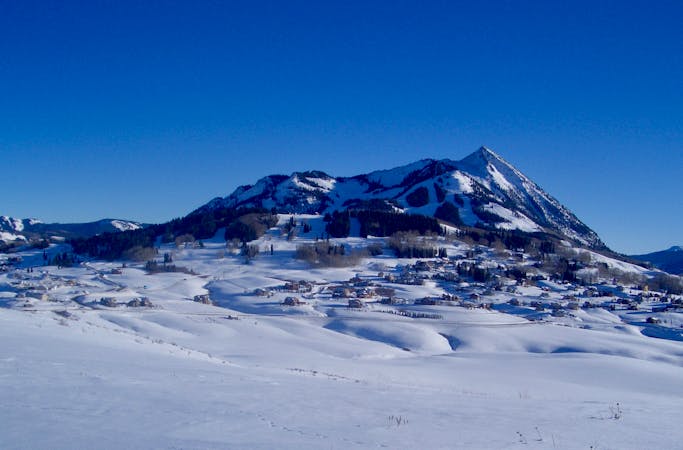
Phaser Trees is a steep tree section at the end of Sock it to Me Ridge between Cess Pool and Last Steep. While it is the easiest way down the Sock it to me Ridge, don't take it lightly, as the steep terrain is pretty well covered with trees, especially at the bottom. However Phaser is a great place to find powder stashes well after a storm. There is also a cliff band on the skiers left side toward Last Steep. Phaser can be accessed from the bottom of right of Hawk's Nest, or by skiing the Sock it to Me Ridge left past Cess Pool. Exit via the trail at the bottom to Black Eagle and East River Lift.
Severe
Steep skiing at 38-45 degrees. This requires very good technique and the risk of falling has serious consequences.

Little chance of being seen or helped in case of an accident.
53 m away
A steep rocky run with a closeout choke on the far skier's left of Sock it to Me Ridge.
Severe Freeride Skiing
65 m away

A steep apron that funnels into a narrow mandatory cliff move before opening up in the runout.
Severe Freeride Skiing
139 m away

Buck's Traverse gives you the chance to get back to Paradise Express from Last Steep if don't want to head to East River.
Moderate Freeride Skiing
166 m away

A large cliff area in the far upper skier's right of the Sock it to Me Ridge.
Extreme Freeride Skiing
186 m away

Keyhole / Last Stash is a steep pitch in tight trees above Last Steep, accessed by a short side-step above "Easy Out" Exit To Paradise.
Difficult Freeride Skiing
230 m away

Back to back knolls off the skier's right of Hawk's Nest used to access the Sock it to Me Ridge.
Moderate Freeride Skiing
237 m away

A thick tree run through the steep trees that separate Slot Rocks and Sock it to Me Ridge.
Severe Freeride Skiing
238 m away
A steep tree run containing cliffs and rocks near the Staircase section of the North Face.
Extreme Freeride Skiing
250 m away

Tunnel and Walk Out have great fall line skiing under Old Pro and Treeline onto the "Easy Out" Exit to Paradise.
Moderate Freeride Skiing
250 m away

Slipper's technical rocks and pillows offer a steeper finish to Hawk's Nest and Old Pro onto "Easy Out" Exit to Paradise.
Difficult Freeride Skiing
80 routes · Freeride Skiing