1 m away
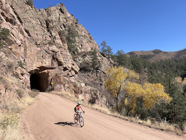
Phantom Canyon -> Shelf Road Loop
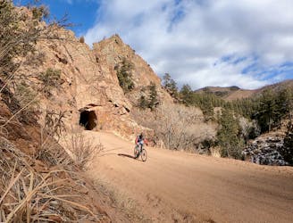
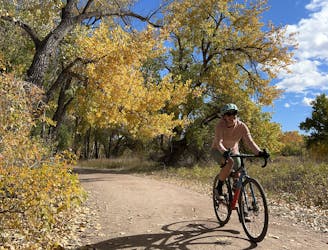
World-class gravel riding in Canon City!
Difficult Gravel Biking
- Distance
- 113 km
- Ascent
- 1.9 km
- Descent
- 1.9 km
A logical, medium-length mixed-surface loop departing directly from downtown Canon City
Gravel Biking Moderate

This loop combines a short section of Highway 50 with the gravel CR 69, ending on the paved stretch of Garden Park Road (also known as Shelf Road).
After grunting up a short but steep climb on the highway, you'll get to leave the annoying traffic behind for the main feature—the solitude and beautiful gravel of CR 69!
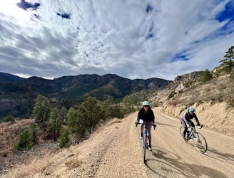
For more miles, consider riding an out-and-back portion of Shelf Road.
Moderate
1 m away
World-class gravel riding in Canon City!
Difficult Gravel Biking
1.2 km away
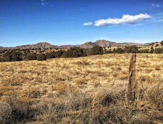
A rough, remote gravel road passing through beautiful rolling mountains.
Moderate Gravel Biking
1.2 km away
An ambitious out-and-back gravel ride to Westcliffe.
Moderate Gravel Biking
3.2 km away
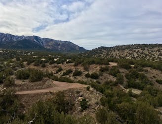
A bite-sized gravel loop providing a quick dose of wilderness, just a few miles from Canon City.
Moderate Gravel Biking
5.9 km away
An easy but incredibly scenic gravel ride through Canon City and into the Royal Gorge.
Easy Gravel Biking
6 routes · Gravel Biking