9.7 km away
Mount Princeton
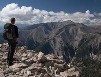
A climb to the summit of the most visibly-impressive 14er in Chaffee County.
Extreme Hiking
- Distance
- 21 km
- Ascent
- 1.6 km
- Descent
- 1.6 km
The best-of-the-best in Browns Canyon National Monument.
Hiking Difficult

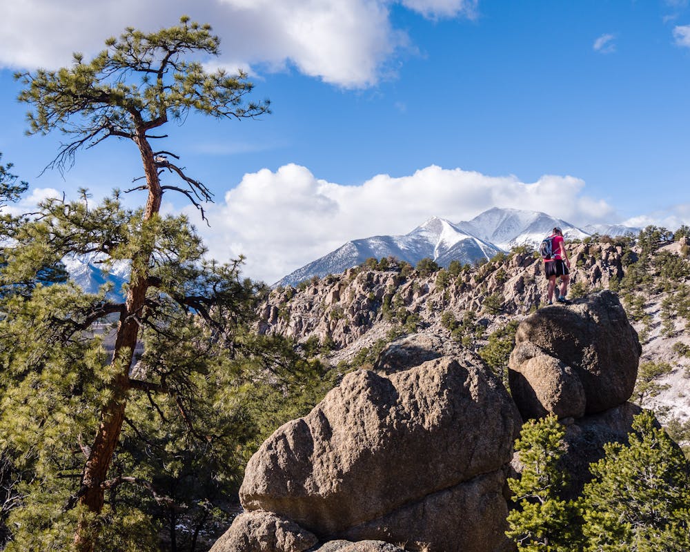
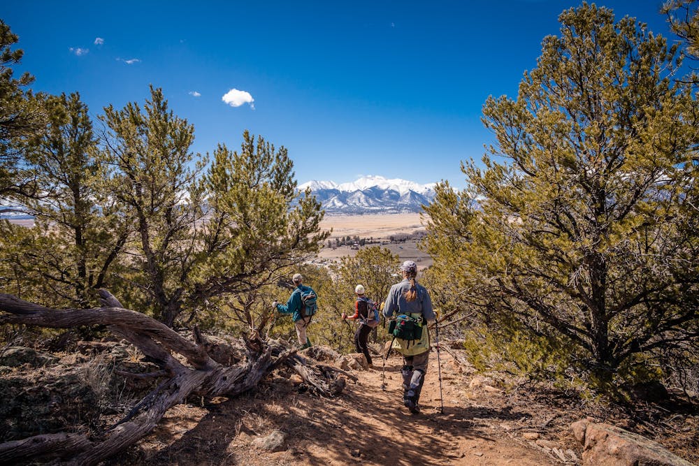
This 8-mile hike is a gorgeous “lollipop” loop hike; the first and last portion is an out-&-back, with a loop in the middle. Beautiful Browns Canyon was designated a national monument in February 2015, preserving this place for future generations to explore.
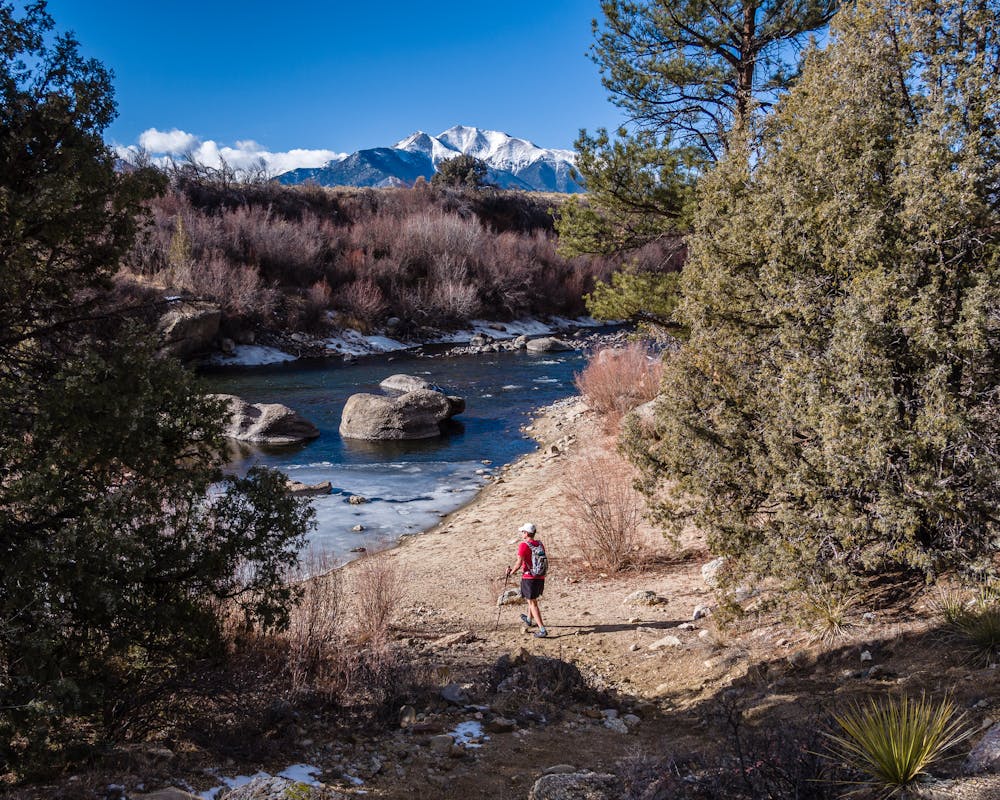
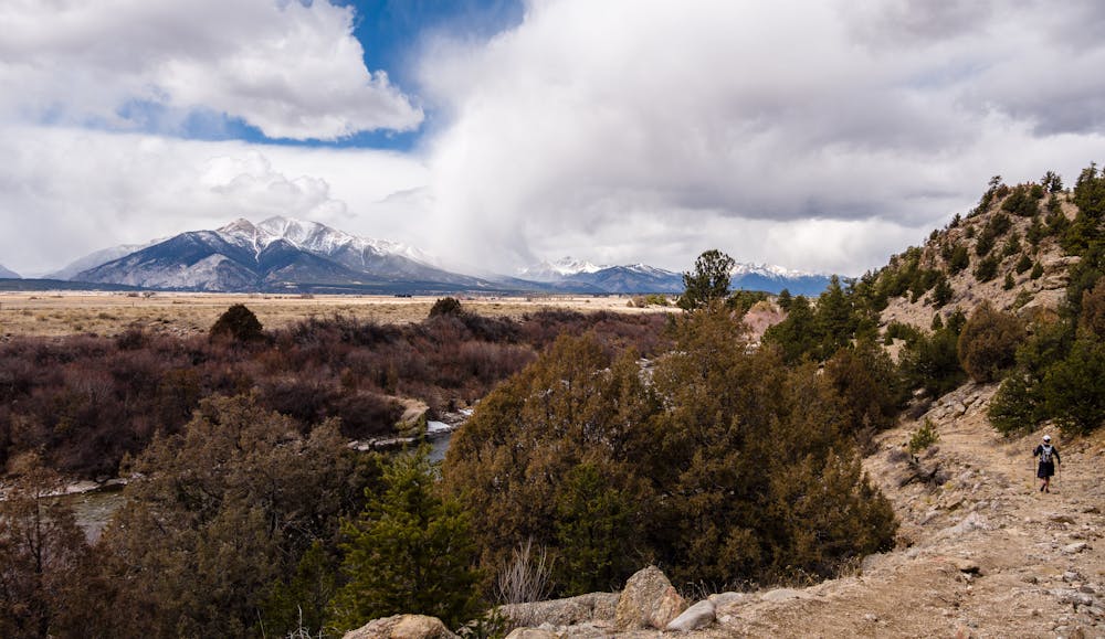
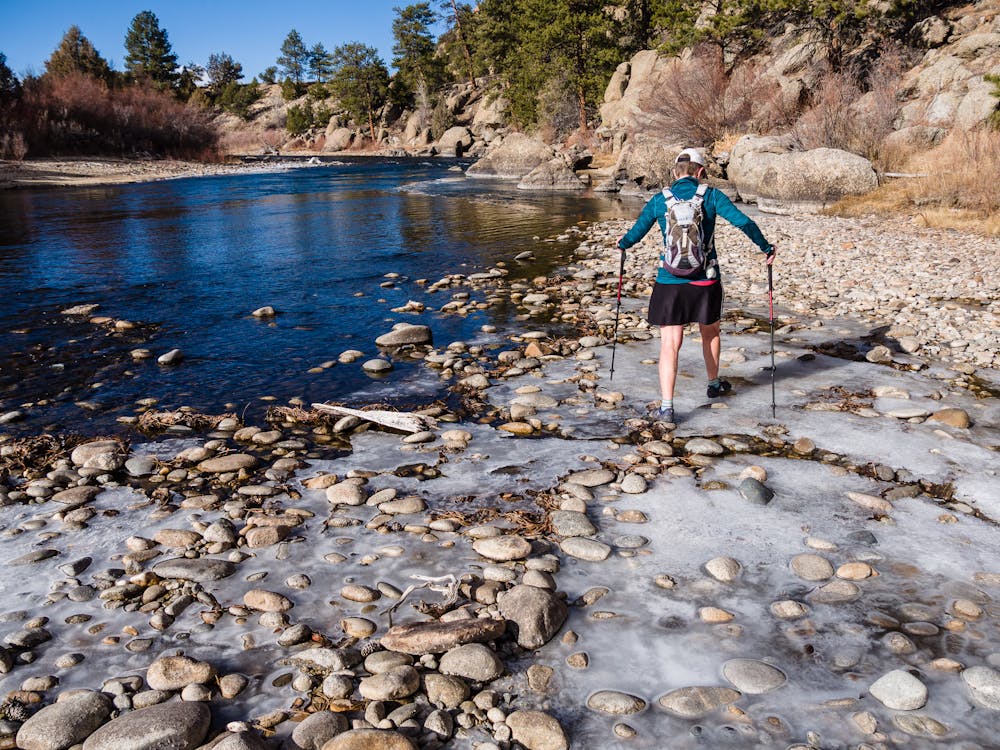
Though there are trails in the Monument, they are few and far between, so “explore” is the operative word when hiking in Browns Canyon. In fact, this route is comprised of 3 trails and a do-it-yourself connection along and above the Arkansas River. Even the designated, signed trails require navigating sandy washes, as the visible trail comes and goes.
Starting at the Ruby Mountain trailhead, the route heads out on the Turret Trail (6045), turns right on the River Access Trail (6045B), self-connects (meaning that there is NO trail here) along the river to the River Bench Trail (6045A), then turns left at the Turret Trail to return to the TH. These trails are pedestrian and horse only—no motorized vehicles or bikes are allowed.
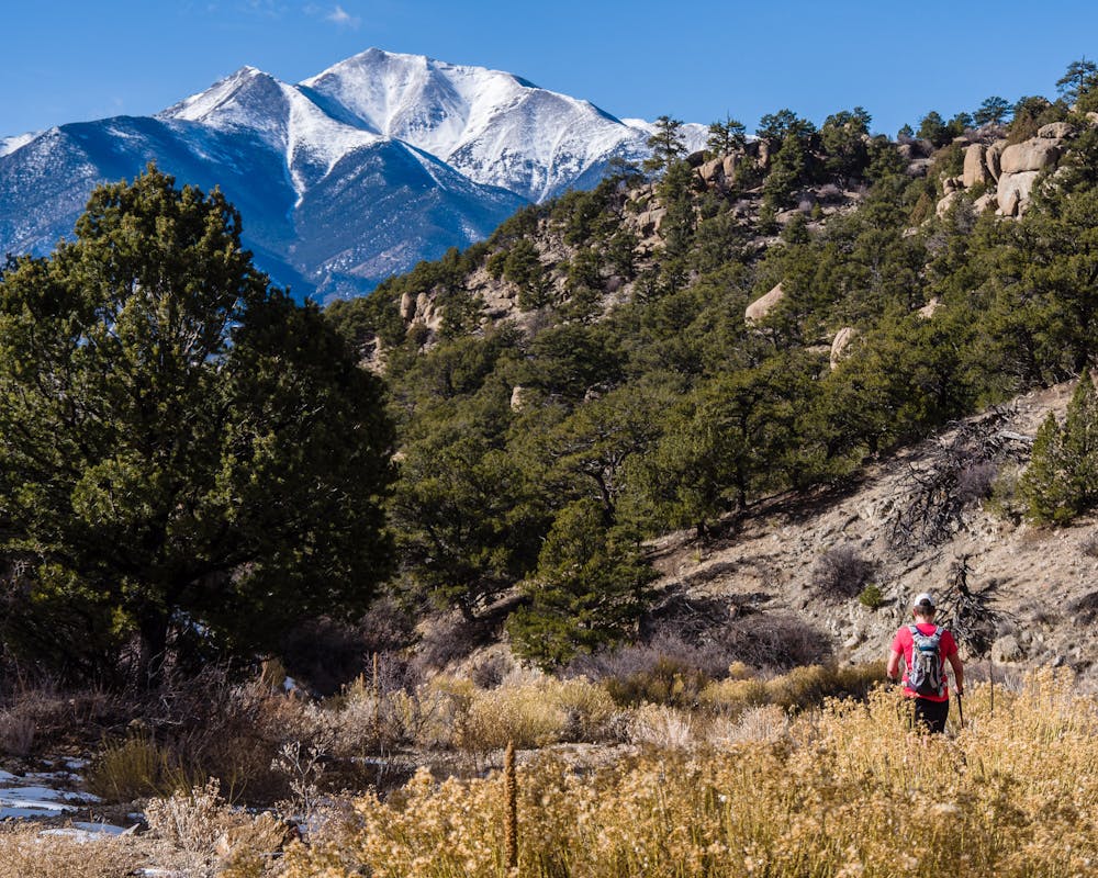
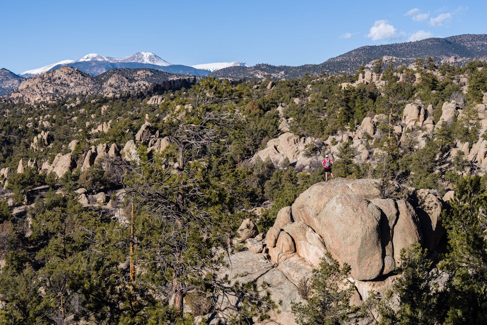
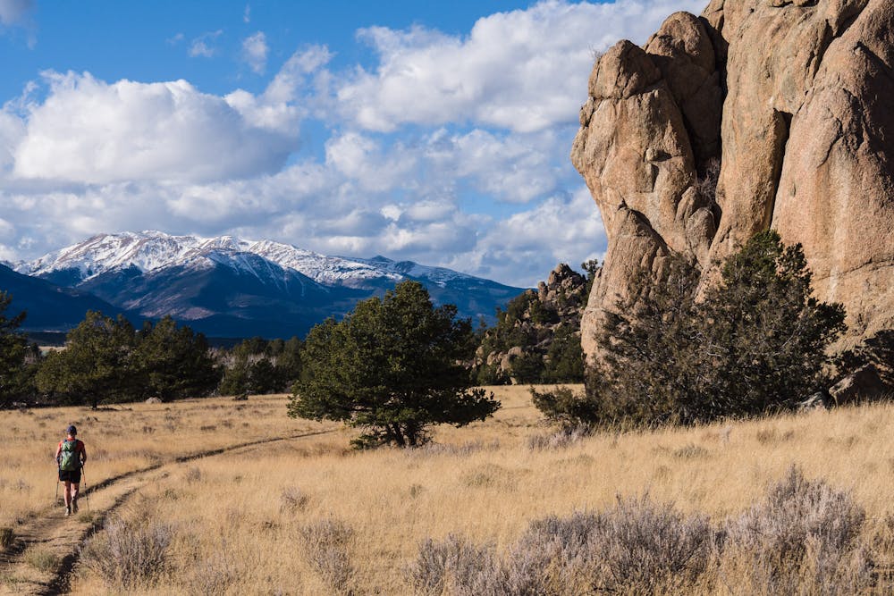
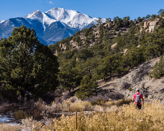
Located in a mountain desert environment at 8,000 feet, this trek can be quite hot in the summer and is at its best in the fall. The mileage varies between 8.2 and 8.4 miles depending on one's route-finding ability and taste for adventure. For those who enjoy a little scrambling, there are plenty of opportunities along the way. The rock formations in the Monument lend a “spaghetti-western” appeal, and the surface is rough enough to allow decent traction both up and down when scrambling. Some huge rocks are a bit off trail, but with a little off-trail adventuring are easy to access. Many such formations look formidable from a distance but have an easy access when up close.
The Turret Trail begins as a well-defined trail that takes hikers up, down, and around to stunning overlooks with views of the Arkansas River Valley below and the 14,000' Collegiate Peaks across the valley. The trail drops down to the first wash, where it weaves in and out and often disappears completely. Expect to walk stretches of sandy wash with no visible trail.
There are signs at all defined trail intersections, the first of which comes after a lovely, mellow stroll across a huge grassy area on the Turret Trail. Take a right on the River Access Trail and continue to navigate washes and trail segments as the route meanders its way toward the Arkansas River.
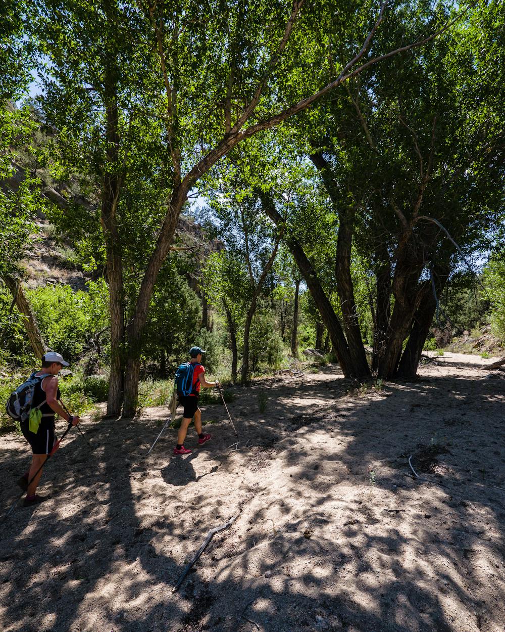
To connect the two loose ends of the River Access and River Bench Trails, good route-finding skills and navigation tools are necessary. As the wash gets narrower and closer to the river, start looking for a user-trail that heads up on the right. This trail accesses an old road up above the river. If the water is low enough, find the best way to descend to the river bank for the 1/10th-mile connection. This option requires only a few scrambly bits. If the river is too high, the connection requires finding a social trail above the river, where caution is needed as it is quite steep.
The connection to the River Bench Trail is at a riverside campsite. From there, the trail is an easy ramble back to the Turret Trail.
For a National Monument trail map: http://brownscanyon.org/wp-content/uploads/2015/02/2-Browns-Canyon-Northern-Trails-42-FINAL-OL-lowrez-8.24.14.pdf
Difficult
Hiking trails where obstacles such as rocks or roots are prevalent. Some obstacles can require care to step over or around. At times, the trail can be worn and eroded. The grade of the trail is generally quite steep, and can often lead to strenuous hiking.

The trail contains some obstacles such as outcroppings and rock which could cause injury.

Little chance of being seen or helped in case of an accident.
9.7 km away
A climb to the summit of the most visibly-impressive 14er in Chaffee County.
Extreme Hiking
11 routes · Alpine Climbing · Hiking