7.6 km away
Mount Antero: Little Browns Creek
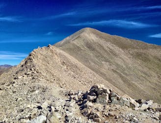
The most scenic and adventurous route to the summit of Mount Antero.
Extreme Hiking
- Distance
- 26 km
- Ascent
- 1.7 km
- Descent
- 1.7 km
A climb to the summit of the most visibly-impressive 14er in Chaffee County.
Hiking Extreme

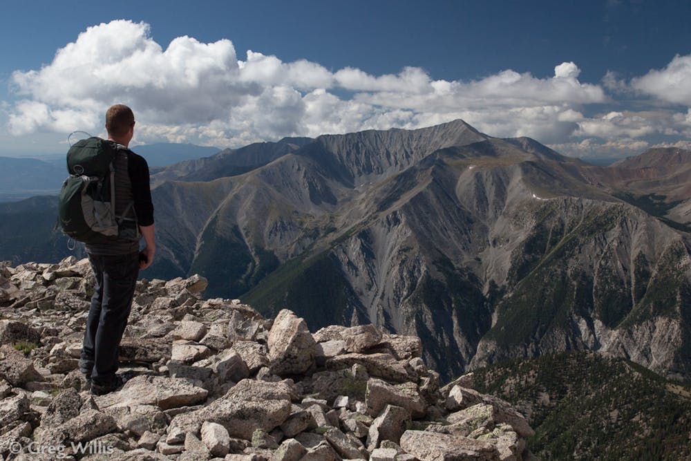
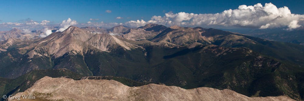
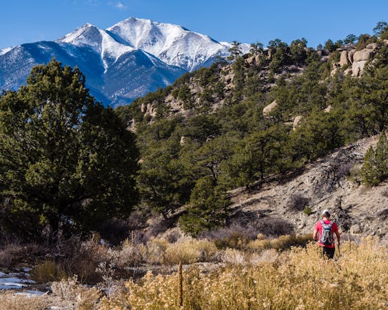
More than any other 14er in Chaffee County, Mount Princeton boasts an impressive monolithic stature. While the other nearby mountains blend into the range, Princeton sits by itself, separated on both sides by deep valleys. From the towering Chalk Cliffs at its base to the impressive alpine summit, Princeton is visually impressive and inspiring.
That inspiring visage doesn't necessarily translate fully to the hike itself. If you park at the primary Frontier Ranch parking lot, most of the climb takes place on a dirt 4x4 road before turning to singletrack for the last few miles. Of course, if you have a high clearance 4x4 vehicle, you can attempt to drive to the upper parking lot... but the narrow road grade, extreme exposure, traffic from other users, and limited parking at the upper trailhead mean its almost easier to just walk.
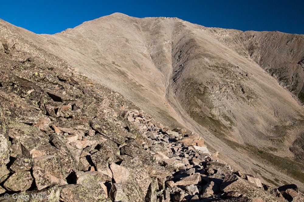
The singletrack begins near treeline, with the trail switchbacking up the mountainside and into the alpine tundra. The trail traverses across the side of the ridge into the bowl below the summit, then climbs steeply up the scree field to gain a saddle in the ridge. Recent trail work has dramatically improved this section of trail and the climb to the saddle, according to 14ers.com.
Once at the saddle, the route follows the ridgeline straight to the 14,197-foot summit. The rocks are more solid at this point, providing much better footing for the final push.
Sources: https://www.14ers.com/php14ers/tripreport.php?trip=18611
Extreme
Scrambling up mountains and along technical trails with moderate fall exposure. Handholds are necessary to navigate the trail in its entirety, although they are not necessary at all times. Some obstacles can be very large and difficult to navigate, and the grades can often be near-vertical. The challenge of the trail and the steepness of the grade results in very strenuous hiking. Hikes of this difficulty blur the lines between "hiking" and "climbing".

The trail contains some obstacles such as outcroppings and rock which could cause injury.

Little chance of being seen or helped in case of an accident.
7.6 km away
The most scenic and adventurous route to the summit of Mount Antero.
Extreme Hiking
7.6 km away
A scenic hike to a roaring waterfall nestled in a gorgeous mountain canyon.
Difficult Hiking
9.7 km away
The best-of-the-best in Browns Canyon National Monument.
Difficult Hiking
11 routes · Alpine Climbing · Hiking