1 m away
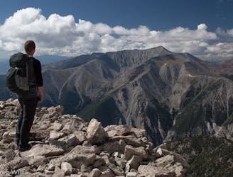
Mount Antero: Little Browns Creek
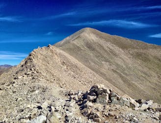
The most scenic and adventurous route to the summit of Mount Antero.
Extreme Hiking
- Distance
- 26 km
- Ascent
- 1.7 km
- Descent
- 1.7 km
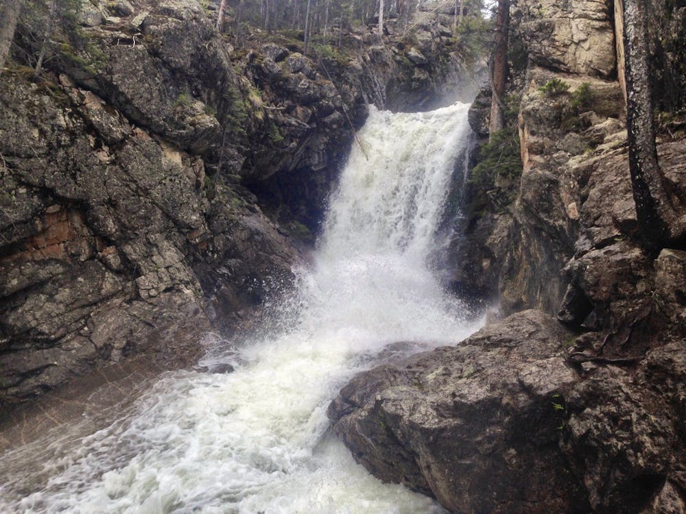
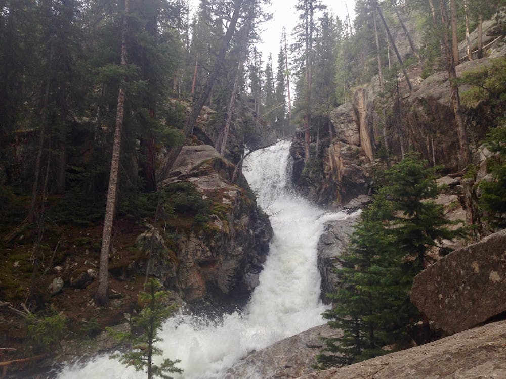
A scenic hike to a roaring waterfall nestled in a gorgeous mountain canyon.
Hiking Difficult

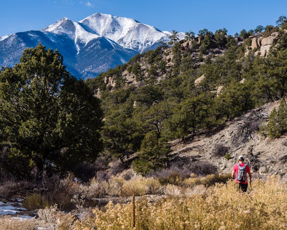
Waterfalls are relatively few and far between in Colorado, making the few scenic waterfalls that do exist a massive draw to hikers from all across the state. Brown's Creek Falls is one such popular cascade, with a moderately challenging—but very attainable—hike required to reach the falls.
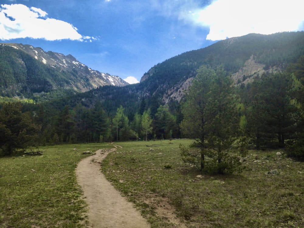
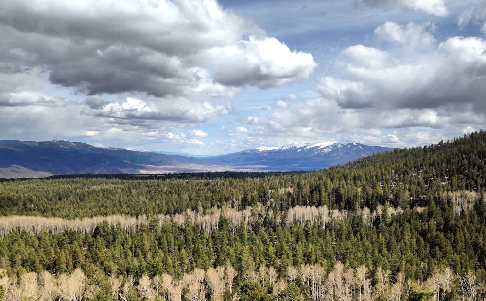
The initial climb up the Brown's Creek trail is quite steep, with blocky rock steps and boulder-filled sections. As the trail gains small ridges, beautiful views open up of the Arkansas Valley below.
Once on the Colorado Trail the grade mellows out significantly, providing easier walking.
After turning off the Colorado Trail and back onto the main Brown's Creek Trail, the singletrack crosses a few streams and then breaks out into a jaw-dropping alpine valley, with steep-sided mountains rising on both sides. Jones Peak and Tabeguache Peak tower over the left side of the valley, with Mount White on the right.
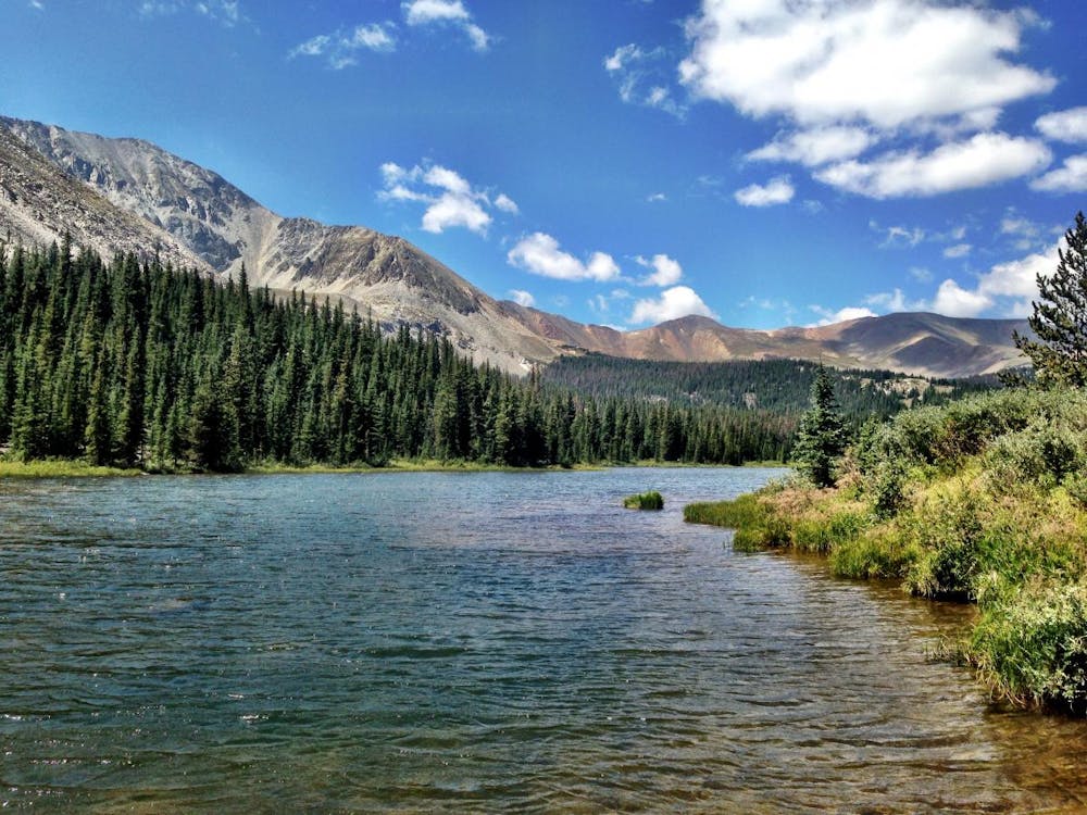
After some easy walking, a left turn off the main trail will bring you to the waterfall itself. This roaring cascade splashes down through a cleft in a rocky canyon wall. While the falls are spectacular all year 'round, they're especially impressive when they're running fast and full in the spring as the snowmelt from the mountains high above finds its way down to the Arkansas River far, far below.
For a longer hike, continue beyond the falls for several more miles until you reach Brown's Lake just below treeline—one of the most scenic alpine lakes you'll ever lay eyes upon.
Difficult
Hiking trails where obstacles such as rocks or roots are prevalent. Some obstacles can require care to step over or around. At times, the trail can be worn and eroded. The grade of the trail is generally quite steep, and can often lead to strenuous hiking.

The trail contains some obstacles such as outcroppings and rock which could cause injury.
Away from help but easily accessed.
1 m away
The most scenic and adventurous route to the summit of Mount Antero.
Extreme Hiking
7.6 km away
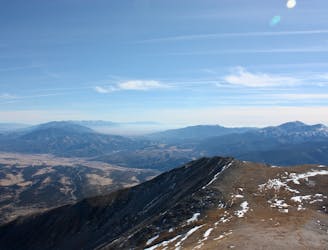
A climb to the summit of the most visibly-impressive 14er in Chaffee County.
Extreme Hiking
8.9 km away
One of the most easily-accessible trailheads in Chaffee County leads to two of Colorado's famous 14ers.
Extreme Hiking
11 routes · Alpine Climbing · Hiking