57 m away
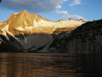
Capitol Peak - Northeast Ridge
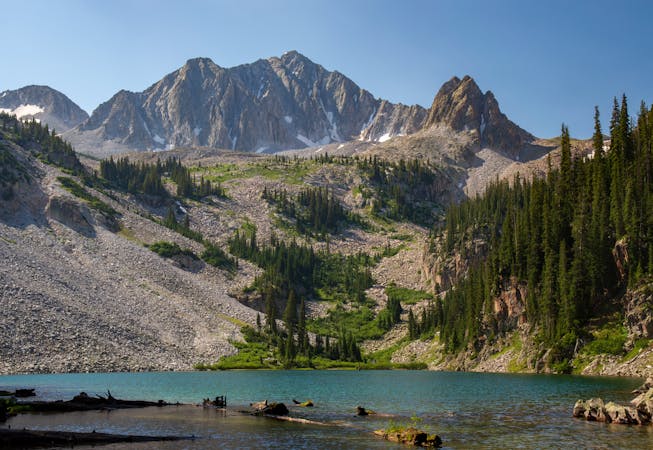
Capitol Peak is infamously one of Colorado's most difficult yet most rewarding 14ers.
Extreme Hiking
- Distance
- 26 km
- Ascent
- 1.8 km
- Descent
- 1.8 km
Hike that leads up to Capitol Lake, Down Avalanche Creek, then up Hell's Roaring Creek and down to the Capitol trailhead
Hiking Severe

This is a popular hiking route which is generally considered to be severe. It's very remote, it features medium exposure and is typically done between June and September. From a low point of 2.5 km to the maximum altitude of 3.7 km, the route covers 38 km, 2235 vertical metres of ascent and 2224 vertical metres of descent.
Great Four Pass Loop alternative - beautiful views and solitude
Severe
Hiking challenging trails where simple scrambling, with the occasional use of the hands, is a distinct possibility. The trails are often filled with all manner of obstacles both small and large, and the hills are very steep. Obstacles and challenges are often unexpected and can be unpredictable.

The trail contains some obstacles such as outcroppings and rock which could cause injury.

Little chance of being seen or helped in case of an accident.
57 m away
Capitol Peak is infamously one of Colorado's most difficult yet most rewarding 14ers.
Extreme Hiking
58 m away
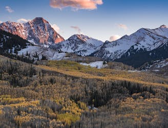
Day one of an epic circuit through the Maroon Bells
Difficult Hiking
7.6 km away
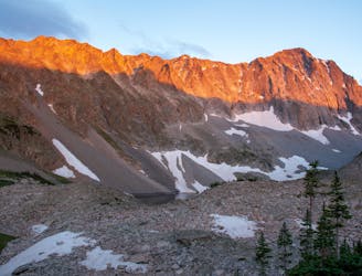
A lengthy, spectacular day of hiking through the Rockies.
Difficult Hiking
8.4 km away
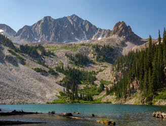
A two- or three-day mission to summit one of the most remote 14ers in Colorado, requiring snow travel and Class 3 scrambling with exposure.
Extreme Hiking
6 routes · Alpine Climbing · Hiking