4.6 km away
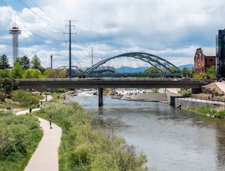
Cherry Creek Trail: Confluence Park to Cherry Creek State Park
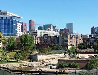
Creekside greenway through downtown Denver with shopping, dining, and cultural attractions along the way.
Easy Hiking
- Distance
- 23 km
- Ascent
- 200 m
- Descent
- 60 m
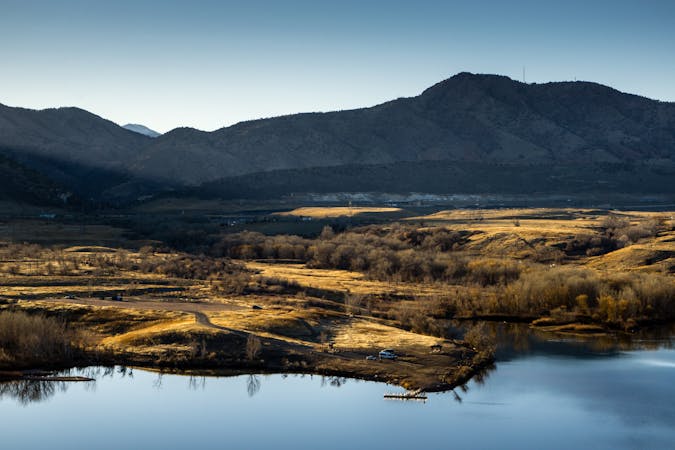
An easy walk with an iconic view of the Denver skyline.
Hiking Easy

Denver City Park is an expansive 330-acre park tucked into the dense cityscape, providing a beautiful escape for the local residents. The route shown here loops around the perimeter of the park on a mix of paved and dirt paths, with a short stretch running along the shores of Ferril Lake.


The walking here is easy, creating the perfect outing for the entire family (and the dog!). You can choose to make the walk longer by looping around Ferril Lake or by adding on additional trails in the park.
The view across Ferril Lake toward downtown Denver is one of the most iconic views of the Denver skyline—be sure to snap a photo while you're here!
Sources: https://www.denver.org/things-to-do/sports-recreation/hiking/ https://www.denver.org/listing/city-park/6822/ https://en.wikipedia.org/wiki/CityPark,Denver
Easy
Walking along a well-kept trail that’s mostly flat. No obstacles are present.

The path is on completely flat land and potential injury is limited to falling over.
Close to help in case of emergency.
4.6 km away
Creekside greenway through downtown Denver with shopping, dining, and cultural attractions along the way.
Easy Hiking
4.8 km away
A beautiful walk in the heart of the city.
Easy Hiking
13 routes · Hiking