8.3 km away
Pine Creek Trail

This moderate hike with beautiful views is one of the most popular in the Curecanti National Recreation Area.
Moderate Hiking
- Distance
- 3.8 km
- Ascent
- 104 m
- Descent
- 103 m
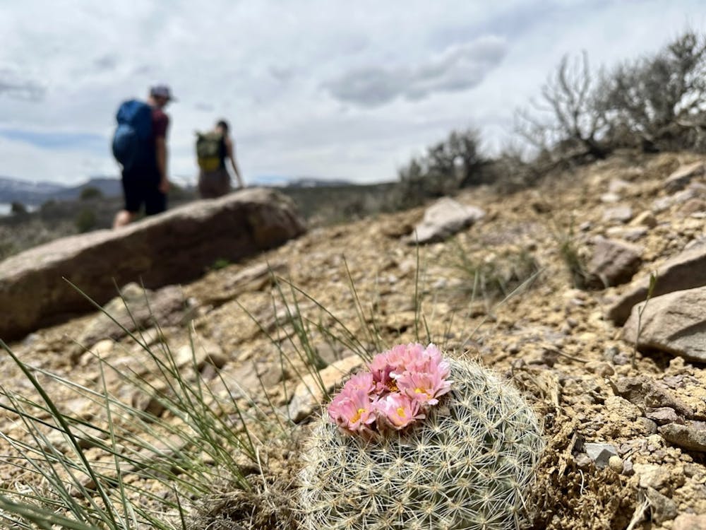
A beautiful jaunt through the sagebrush above the pristine waters of the Blue Mesa that's perfect for the entire family!
Hiking Easy

The hike to the Dillon Pinnacles provides a beautiful jaunt through the sagebrush above the pristine waters of the Blue Mesa that's perfect for the entire family!

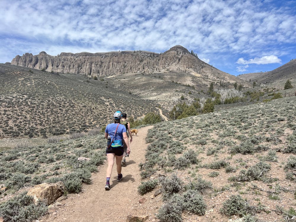
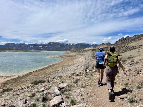
This mellow hike begins from a small trailhead parking area next to one of the bridges crossing the reservoir. The trail begins with easy walking along smooth singletrack traversing above the high water mark of the Blue Mesa Reservoir—the largest body of water in Colorado. While you can see where the water can theoretically rise to, in recent years, the reservoir has never even been close to full due to perennial drought conditions.
As you turn the corner and reach Dillon Gulch, the trail begins climbing a bit more steeply while crossing the stream and winding through some trees along the life-giving streambed. To reach the pinnacles, take a left turn at the Y junction and climb up a short hill before resuming the traversing.
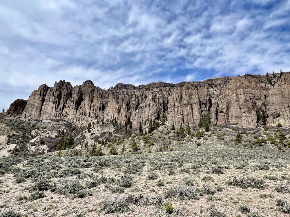
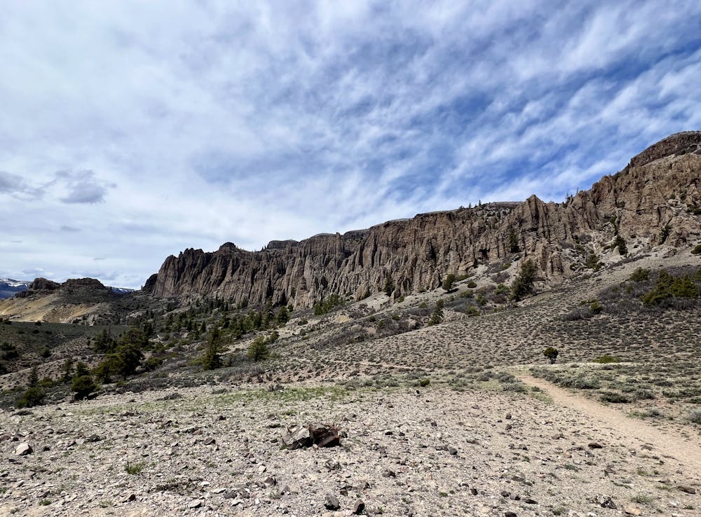
Soon, you'll reach the small loop at the end of the hike that provides views of both the Dillon Pinnacles above you and the reservoir below. The Dillon Pinnacles are unique towering spires of breccia rock that formed from volcanic eruptions about 30-35 million years ago. Breccia is a type of rock composed of angular fragments of different rocks cemented together. The different fragments of rock in the breccia have varying hardnesses, which means some are more resistant to erosion than others. Over the eons, the erosive forces of wind, water, and ice have worn away the softer layers and left the harder layers behind, creating the pinnacles that we see today.
Once done admiring the pinnacles, retrace your steps back to the trailhead. For some bonus miles, you can consider following the trail up Dillon Gulch as an out-and-back spur but do note that it's substantially steeper, rougher, and more eroded than the easy hike out to the pinnacles.
Sources: https://www.backpacker.com/trips/gunnison-co-dillon-pinnacles/ https://coloradoencyclopedia.org/image/dillon-pinnacles https://www.gjhikes.com/2013/07/dillon-pinnacles.html https://www.nps.gov/articles/nps-geodiversity-atlas-curecanti-national-recreation-area-colorado.htm https://www.theoutbound.com/colorado/hiking/hike-the-dillon-pinnacles-trail https://en.wikipedia.org/wiki/CurecantiNationalRecreationArea
Easy
Walking along a well-kept trail that’s mostly flat. No obstacles are present.

The path is on completely flat land and potential injury is limited to falling over.

Away from help but easily accessed.
8.3 km away
This moderate hike with beautiful views is one of the most popular in the Curecanti National Recreation Area.
Moderate Hiking
11 routes · Hiking