873 m away
Green Mountain via Gregory Canyon
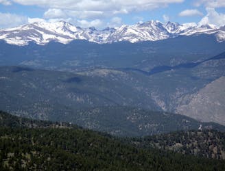
A loop to the top of Boulder's most iconic mountain.
Severe Hiking
- Distance
- 7.7 km
- Ascent
- 707 m
- Descent
- 707 m
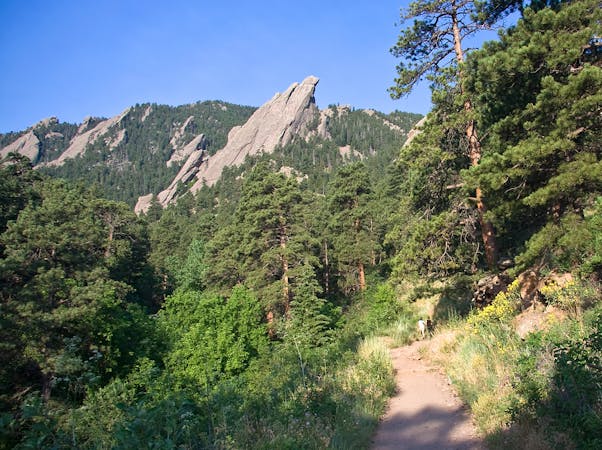
A scrambly hike to the top of the First and Second flatirons.
Hiking Severe

This hike to the top of the First and Second Flatirons is a truly iconic Boulder adventure. The trail departs from the Bluebell/Chautauqua trailhead, rolling through wide-open meadows before beginning its ascent into the mountains. As it climbs, the trail gets progressively more difficult, climbing a set of rocky switchbacks.
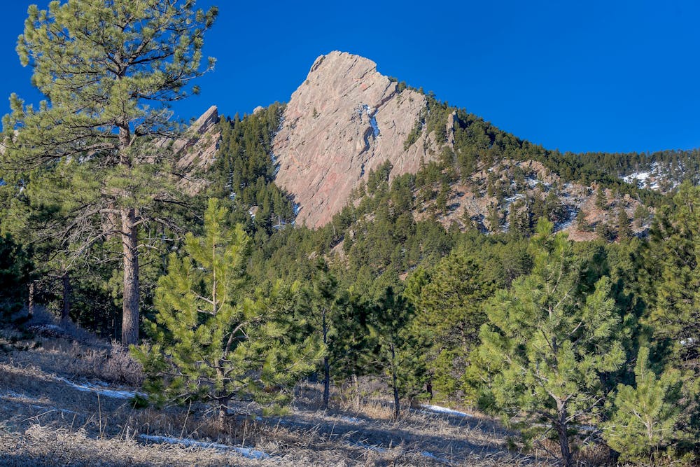
Even though this route doesn't ascend the technical rock faces, it's still a fairly scrambly ascent, earning it a Severe FATMAP difficulty rating. That said, climbers ascending the rock faces will often use this as their descent trail. Whether this hike is tough and technical or an easy descent depends entirely on the person!
Sources: https://bouldercolorado.gov/trail/1st2nd-flatiron https://www.10adventures.com/hikes/boulder/first-and-second-flatirons-loop/ https://chasingadvntr.com/boulder-flatirons-hiking/
Severe
Hiking challenging trails where simple scrambling, with the occasional use of the hands, is a distinct possibility. The trails are often filled with all manner of obstacles both small and large, and the hills are very steep. Obstacles and challenges are often unexpected and can be unpredictable.

Some trail sections have exposed ledges or steep ascents/descents where falling could cause serious injury.

Away from help but easily accessed.
873 m away
A loop to the top of Boulder's most iconic mountain.
Severe Hiking
2.6 km away
A quintessential Boulder hiking route.
Severe Hiking
7 routes · Hiking
6 routes · Alpine Climbing · Hiking
7 routes · Hiking