5.4 km away
Pikes Peak: Barr Trail
Climb America's Mountain on one of the longest 14er hikes in the state.
Severe Hiking
- Distance
- 37 km
- Ascent
- 2.3 km
- Descent
- 2.3 km
A paved ADA-accessible lollipop route at the base of the tallest rock formations.
Hiking Easy

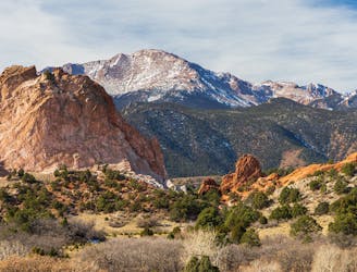
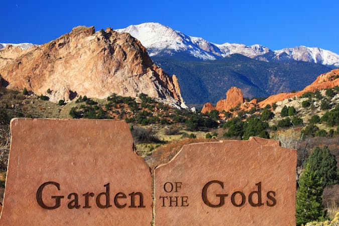
The Garden of the Gods is Colorado Springs' most famous park, containing stunning geological formations of uplifted red rock fins. These staggeringly-beautiful rocks attract over two million visitors per year to the park, making it the most popular in all of Colorado Springs.
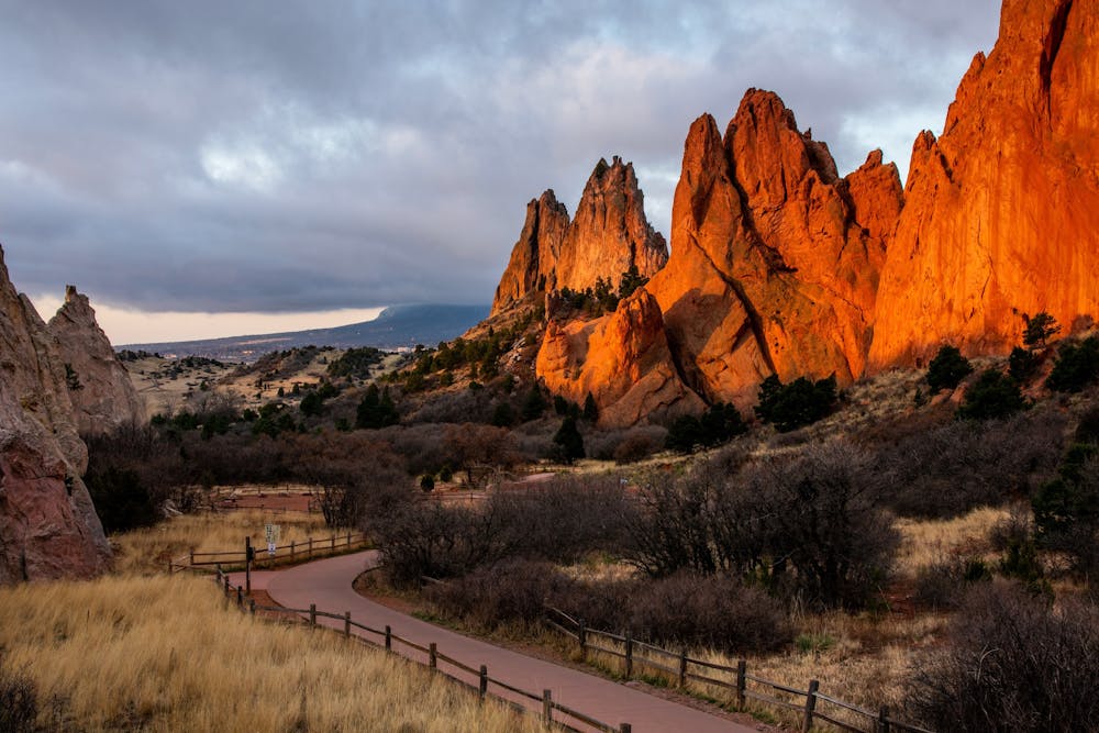
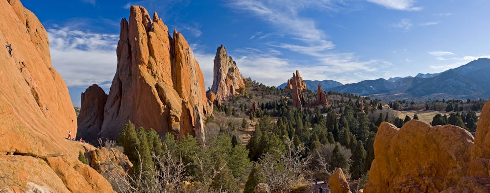
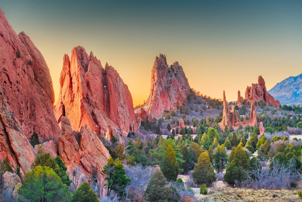
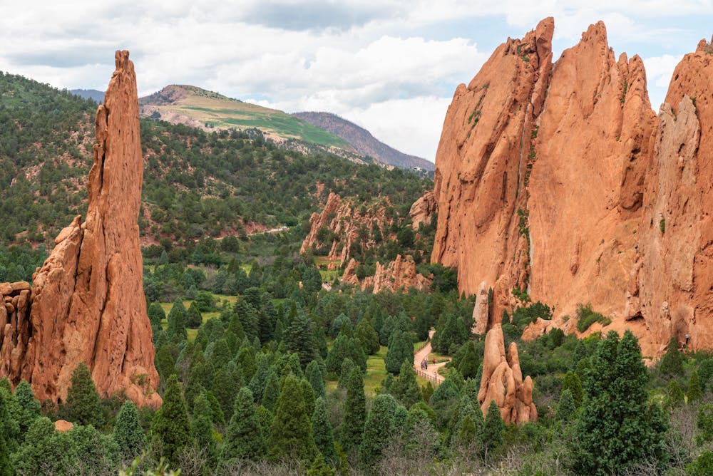
The easiest way to view the red rock formations is on this short lollipop route on the Central Garden Trail. This mostly-flat ~1.5-mile route is entirely paved and ADA-accessible the whole way. Despite being so easy to negotiate, this trail is located at the base of the tallest formations in the park, providing absolutely incredible views and a beautiful natural experience!
Sources: https://gardenofgods.com/ https://en.wikipedia.org/wiki/GardenoftheGods
Easy
Walking along a well-kept trail that’s mostly flat. No obstacles are present.

The path is on completely flat land and potential injury is limited to falling over.
Close to help in case of emergency.
5.4 km away
Climb America's Mountain on one of the longest 14er hikes in the state.
Severe Hiking
5 routes · Alpine Climbing · Hiking

46 routes · Alpine Climbing · Hiking
4 routes · Hiking