1 m away
Baxter Gulch -> Green Lake Loop
Crested Butte's newest trail is an instant classic!
Difficult Hiking
- Distance
- 25 km
- Ascent
- 927 m
- Descent
- 927 m
A steep climb directly from downtown Crested Butte leads to a scenic alpine lake.
Hiking Difficult

Green Lake is one of two hiking trails that’s directly accessible from downtown Crested Butte. But unlike the very mild Lower Loop Trail, this route is a relatively steep climb that requires fitness and preparation to complete.

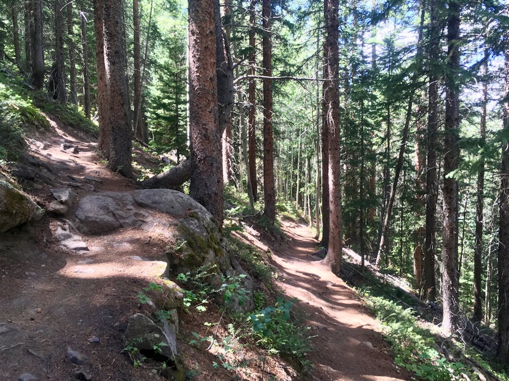
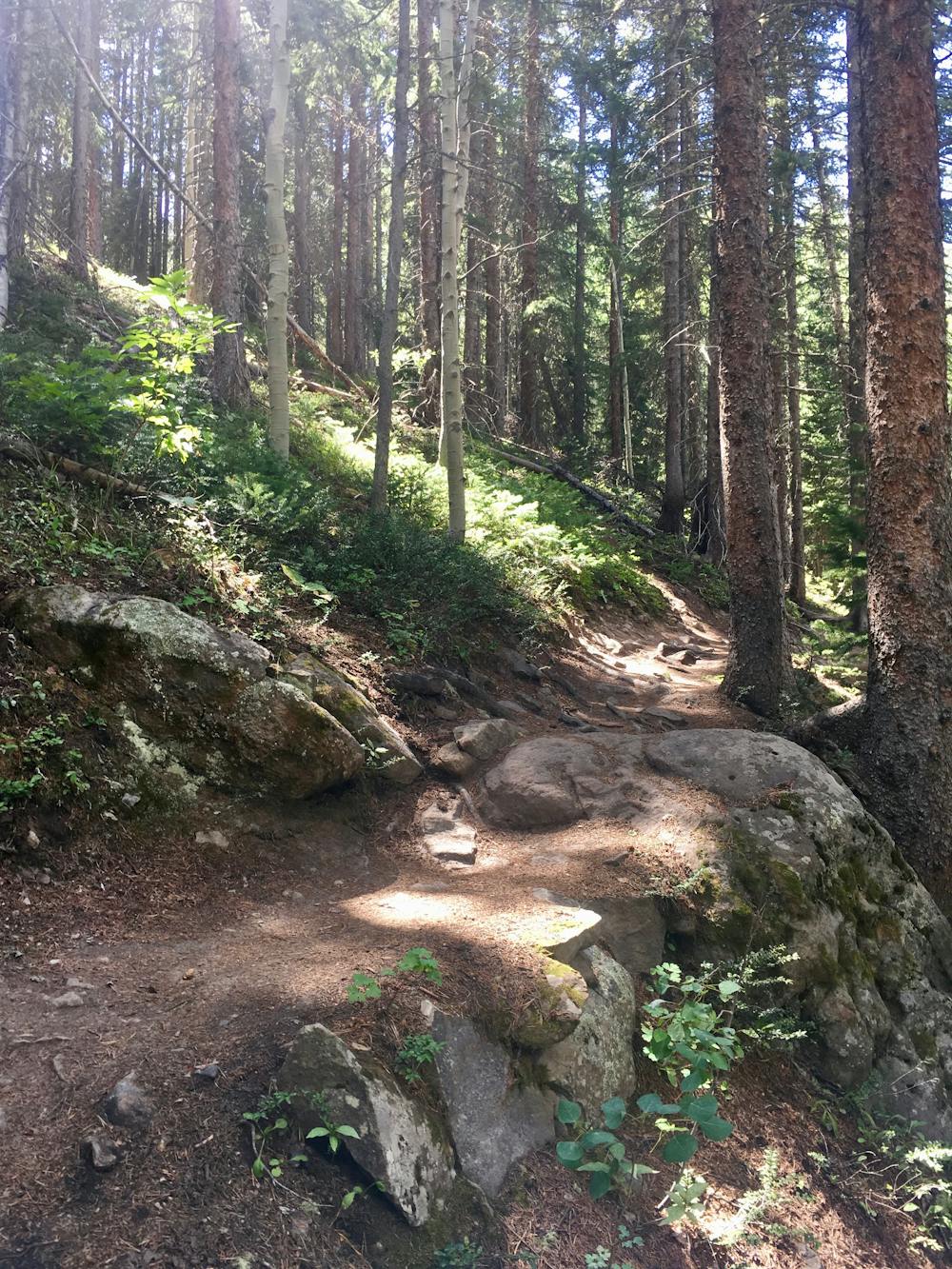
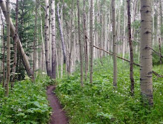
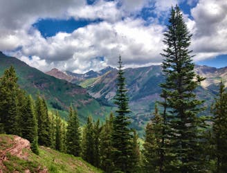
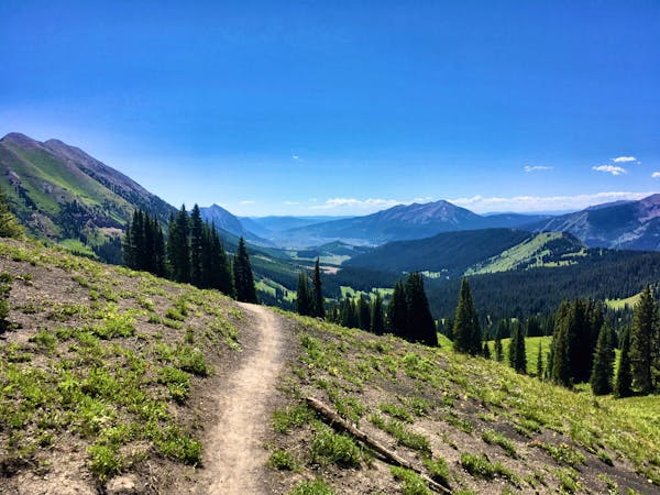
Most of the climb up to Green Lake takes place in a dense pine forest on the mountainside directly above the town of Crested Butte. Savor the deep, dark feeling of the forest, as trees this thick and dirt this black is a relative rarity in Colorado. Of course, Crested Butte has more black dirt and moisture than a lot of places in the state… which is probably why you’re here, right?!
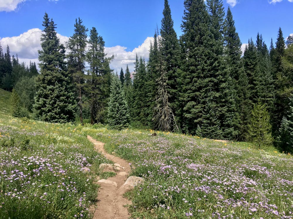
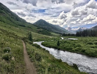
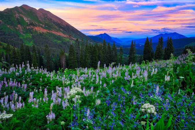
The climb slowly twists and turns its way up the mountainside, punctuated by occasional steep pitches. Higher up the trail, the singletrack breaks out into a few alpine meadows filled with beautiful wildflowers—a welcome change from the pine forest. The higher you climb, the more alpine the environment becomes.
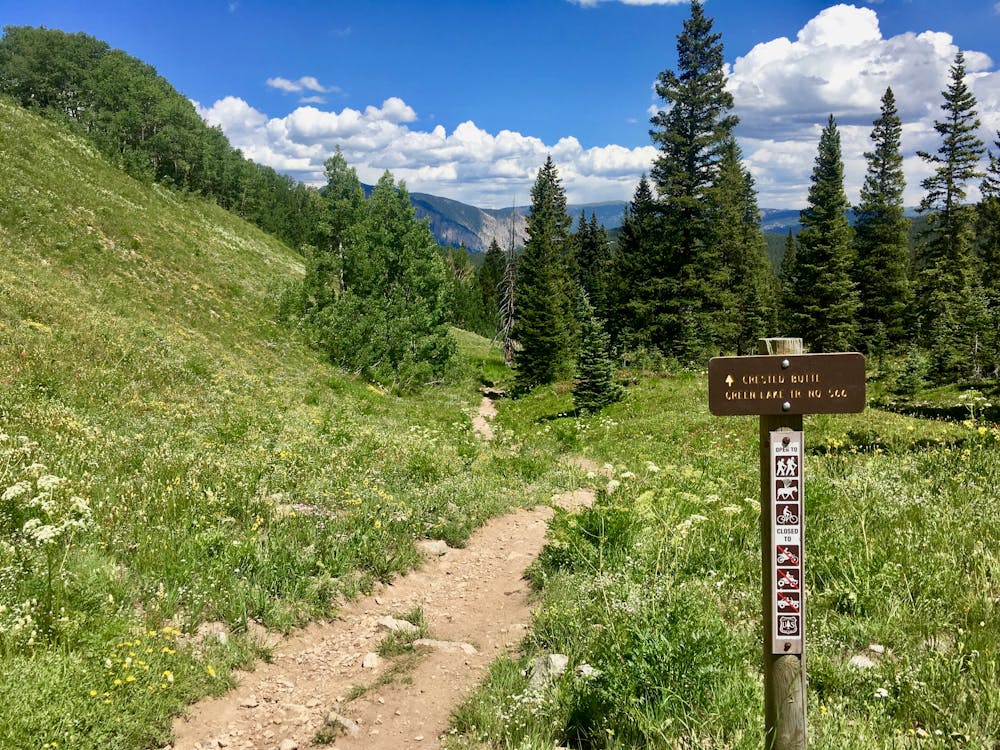
Eventually, near the Carbon Trail, the environment turns full-on alpine, with expansive meadows and low trees. After passing the Carbon Trail, the Green Lake trail gets significantly rockier and rougher, with a few stream crossings. This doesn’t last long, because you’re almost to the lake!
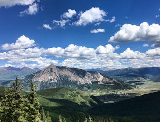
The first small body of water that you’ll see is just a small beaver pond. Continue on to reach the actual lake nestled against the bottom of a rocky alpine ridge—a stunning backdrop to this serene pool of water.
Enjoy a lunch on the lakeshore, and return down the same trail.
Difficult
Hiking trails where obstacles such as rocks or roots are prevalent. Some obstacles can require care to step over or around. At times, the trail can be worn and eroded. The grade of the trail is generally quite steep, and can often lead to strenuous hiking.

The path is on completely flat land and potential injury is limited to falling over.

Away from help but easily accessed.
1 m away
Crested Butte's newest trail is an instant classic!
Difficult Hiking
938 m away
A flat, easy, but incredibly scenic hike directly from downtown Crested Butte.
Easy Hiking
3.8 km away
A $20 chairlift ride and a quick 0.75-mile hike will get you to this epic mountain summit.
Severe Hiking
6.2 km away
Hike through a stunning aspen grove and beautiful meadows.
Moderate Hiking
8.5 km away
A scenic loop route on the Crested Butte classic Teocalli Ridge.
Difficult Hiking
16 routes · Hiking
4 routes · Hiking