519 m away
Colorado Trail
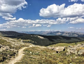
486 miles (782 kilometres) of trekking through some of the finest and wildest scenery in the United States.
Difficult Hiking
- Distance
- 761 km
- Ascent
- 19 km
- Descent
- 18 km
A long-distance recreational path following an irrigation canal.
Hiking Easy

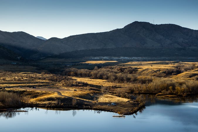
The High Line Canal was originally built in 1883 for agricultural irrigation, but in recent decades, one of the best recreation trails in Denver has been built along the banks of the canal. The trail is officially 71 miles long end-to-end, but shown here is a 65-mile link-up of the bulk of the trail.

This mammoth urban trail runs through a vast array of suburbs and different regions in the Denver Metro Area, although it passes to the south of downtown Denver.
This mostly-paved greenway path is perfect for all types of trail users, ranging from road cyclists (both recreational cyclists and commuters) to walkers/hikers, runners, skaters, and more. However, note that there are some gravel, dirt, and road sections used to connect the segments of paved path.
Sources: https://highlinecanal.org/guide/
Easy
Walking along a well-kept trail that’s mostly flat. No obstacles are present.

The path is on completely flat land and potential injury is limited to falling over.
Close to help in case of emergency.
519 m away
486 miles (782 kilometres) of trekking through some of the finest and wildest scenery in the United States.
Difficult Hiking
519 m away
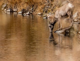
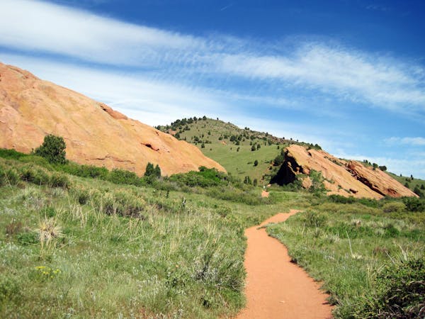
Easy hike or jog beside a swift river in a forested gorge with plentiful wildlife.
Easy Hiking
8.2 km away
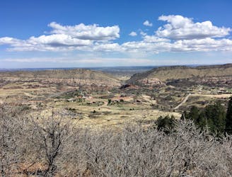
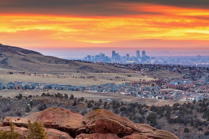
Scenic jaunt to a Denver area summit, mostly on hiker-only trails.
Moderate Hiking
6 routes · Hiking
8 routes · Mountain Biking · Hiking
25 routes · Hiking
13 routes · Hiking