1.2 km away
Sultan Mountain and Spencer Peak
Tag two 13ers that are easily-accessible from Molas Pass.
Severe Hiking
- Distance
- 12 km
- Ascent
- 1 km
- Descent
- 1 km
A stunning alpine traverse hike.
Hiking Difficult

The Colorado Trail (COT) is widely regarded as one of the very best long distance trails in the world. Running for 535 miles between Denver and Durango, the trail crosses high alpine mountain passes and drops into beautiful valleys as it traverses the most beautiful portions of the state of Colorado.
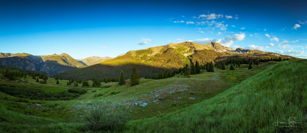
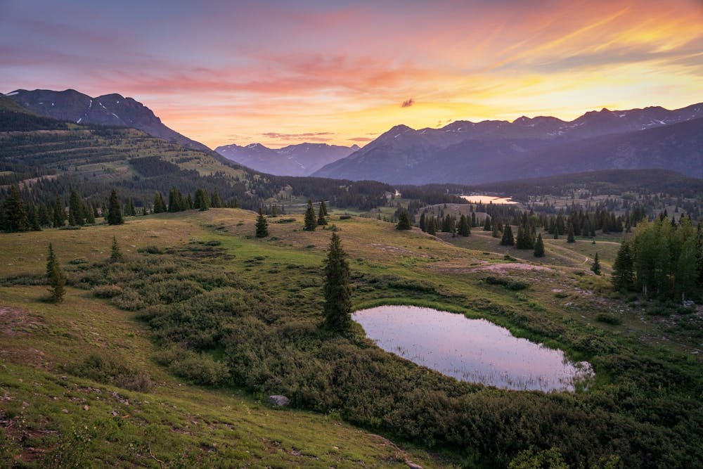
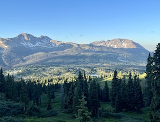
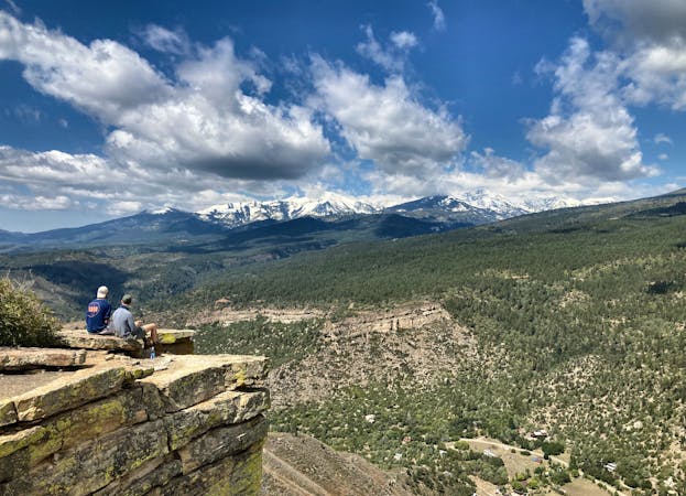
Out of the entire Colorado Trail, arguably the most highly-acclaimed portion is the long stretch running from the town of Silverton to the southern terminus of the trail in Durango. While not technically the highest-elevation portion of the trail, nevertheless this section stays very high in the San Juan Mountain Range.
All along this stretch the views of the surrounding jagged mountains are incredible, the singletrack is narrow and sinuous, and there’s nary a sign of civilization. Indeed, between departing the town of Silverton and entering the town of Durango, the only sign of human life is the occasional dirt road crossing. Plan accordingly and pack all the gear you’ll need.
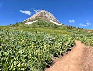
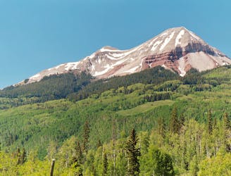
The first segment of the Silverton to Durango stretch runs from Molas Pass to Engineer Mountain. The summit of Engineer Mountain towers over this entire region, rising to an elevation of 13,218 feet. While that might not sound like a lot compared to Colorado’s numerous 14ers, this mountain is still impressive!
This segment is renowned for high alpine tundra and fields filled with wildflowers in the early summer. In the fall, whispering aspen groves turn a brilliant gold, providing some of the best leaf peeping in the state.
The out-and-back route mapped here runs to a turn around point high on a ridge above North Lime Creek. Of course, this hike can be either lengthened or shortened depending on your desired difficulty. And a thru-hike of the entire Colorado Trail is a lust-worthy objective for backpackers from around the world.
Difficult
Hiking trails where obstacles such as rocks or roots are prevalent. Some obstacles can require care to step over or around. At times, the trail can be worn and eroded. The grade of the trail is generally quite steep, and can often lead to strenuous hiking.

The path is on completely flat land and potential injury is limited to falling over.

In the high mountains or remote conditions, all individuals must be completely autonomous in every situation.
1.2 km away
Tag two 13ers that are easily-accessible from Molas Pass.
Severe Hiking
7.2 km away
A high-value alpine loop hike easily accessible from the Million Dollar Highway.
Moderate Hiking
8.3 km away
A popular conduit into the alpine.
Moderate Hiking
8.3 km away
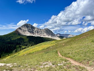
This out-and-back climbs the slopes of Engineer Mountain and rewards with high-altitude wildflowers, views of a rare rock glacier, and a technical summit ridge.
Extreme Hiking
10 routes · Alpine Climbing · Hiking