1.3 km away
Pass Creek Trail: Out-and-Back
A popular conduit into the alpine.
Moderate Hiking
- Distance
- 8.1 km
- Ascent
- 331 m
- Descent
- 331 m
A high-value alpine loop hike easily accessible from the Million Dollar Highway.
Hiking Moderate

The Coal Creek Trail is an absolute gem of a hike that's easily accessible from the Million Dollar Highway. While it's possible to hike it as an out-and-back, mapped here, you'll find a clockwise loop option incorporating the Pass Creek Trail.
The hike, as it is mapped here, begins at the bottom of the Coal Creek trail with a short section of pavement walking up the shoulder of the highway. While it's technically possible to shuttle this section, it's short and really not too bad. Before you know it, you'll be turning right onto the Pass Creek Trail.
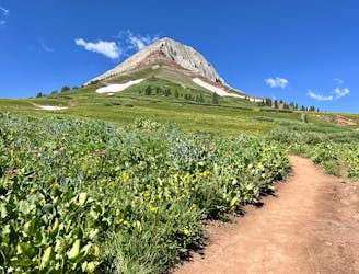
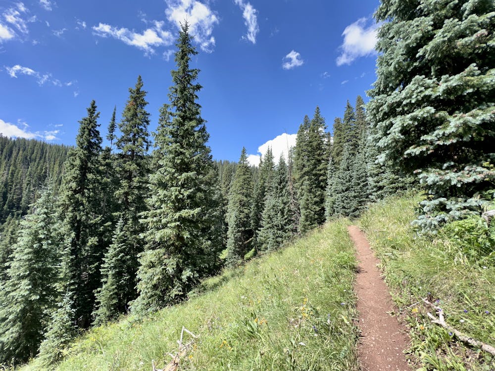
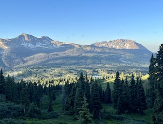
Pass Creek is a popular conduit into the high alpine, beginning from Coal Bank Pass on the Million Dollar Highway. Easily accessible from nearby Durango, on every day of the week, Pass Creek is filled with hikers, mountain bikers, trail runners, and equestrians climbing into the beautiful alpine meadows high above treeline at the top of the trail.
The climb to get above treeline is fairly reasonable, but it still isn't easy: you'll have to gain over 1,000 feet of elevation just to reach the junction with the Engineer Mountain Trail.
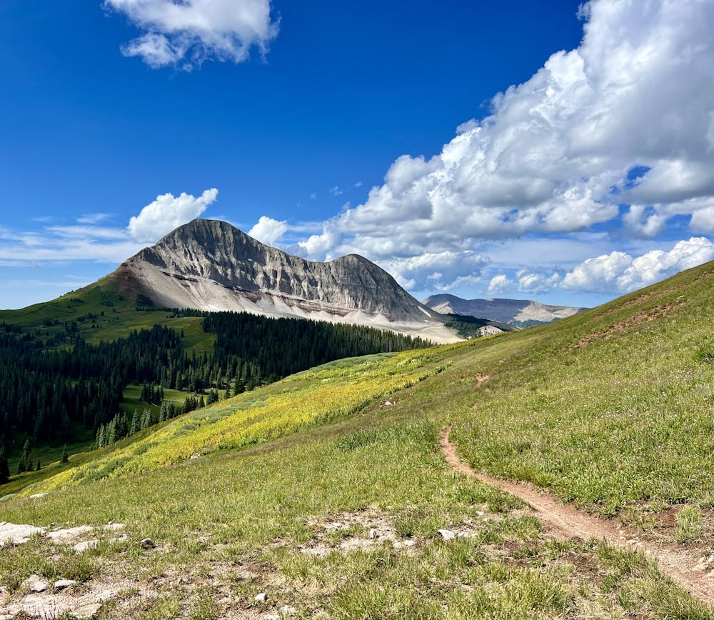
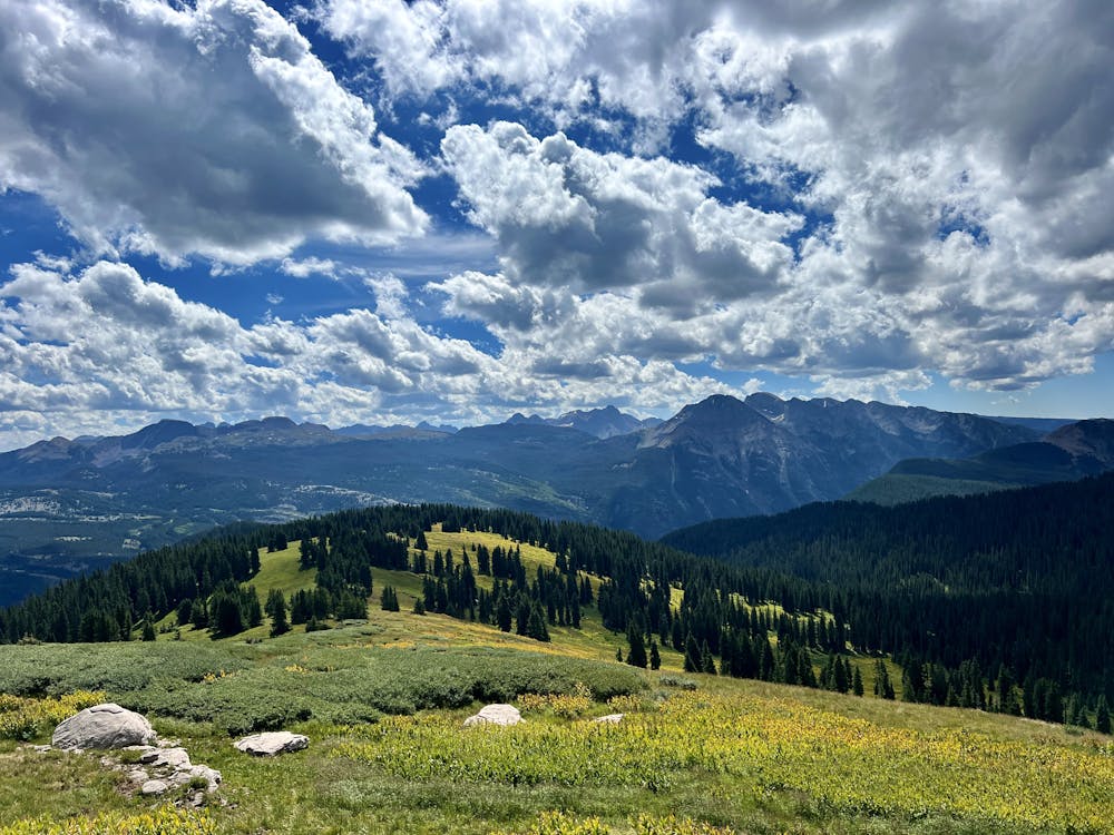
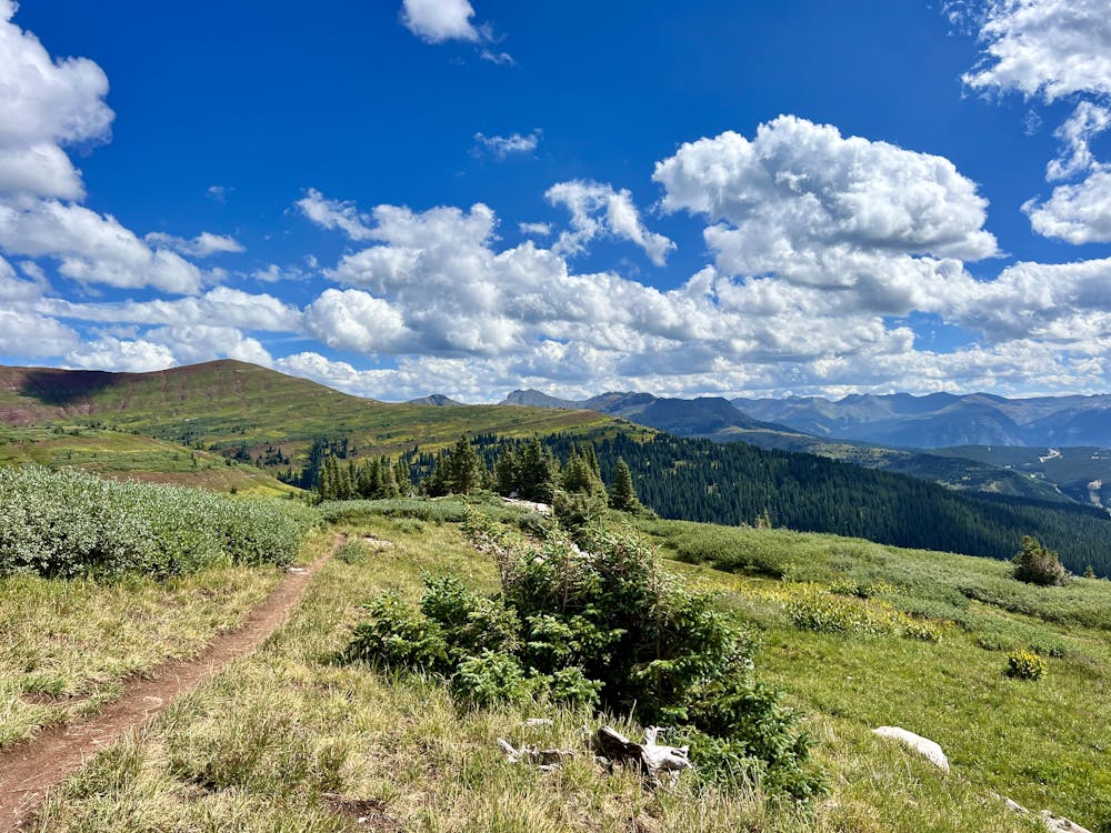
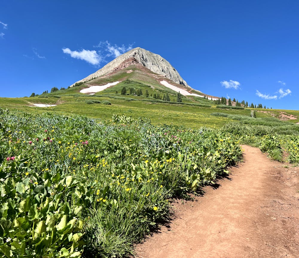
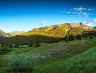
Once at the junction with the Engineer Mountain Trail, take a right to hike through some more meadows and then another right onto the Coal Creek Trail. From here, you'll still need to do some more climbing before you reach the route's high point on a beautiful alpine ridge. Be sure to savor this view before you begin descending because once you start going down, you'll go down in a hurry!
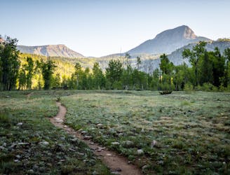
The Coal Creek descent begins in the alpine, meandering through meadows thick with corn lilies as you descend toward the trees below. After the trail hits the timber, the dirt gets dark and loamy, dropping through a deep, dark pine forest reminiscent of the PNW or the deep pine forests of Montana or Idaho. The beauty of this lush, quiet forest will quiet conversations and leave hikers in awe of the rugged beauty of the San Juans.
All good things must come to an end, and soon, you'll pop out above the highway, dropping back down to the pavement. But one thing's for sure: this won't be your last time hiking Coal Creek!
Note: It is possible to run this loop in the counterclockwise direction, for a steeper climb up Coal Creek and a mellower descent down Pass Creek and the highway.
Moderate
Hiking along trails with some uneven terrain and small hills. Small rocks and roots may be present.

The trail contains some obstacles such as outcroppings and rock which could cause injury.

Little chance of being seen or helped in case of an accident.
1.3 km away
A popular conduit into the alpine.
Moderate Hiking
1.3 km away
This out-and-back climbs the slopes of Engineer Mountain and rewards with high-altitude wildflowers, views of a rare rock glacier, and a technical summit ridge.
Extreme Hiking
6.2 km away
A quick hike offering up stunning views.
Moderate Hiking
6.4 km away
Tag two 13ers that are easily-accessible from Molas Pass.
Severe Hiking
7.2 km away
A stunning alpine traverse hike.
Difficult Hiking
9.3 km away

An alternative approach to the Needleton trailhead.
Difficult Hiking
9.3 km away
A scenic hike at any time of the year!
Difficult Hiking
10 routes · Alpine Climbing · Hiking