2 m away
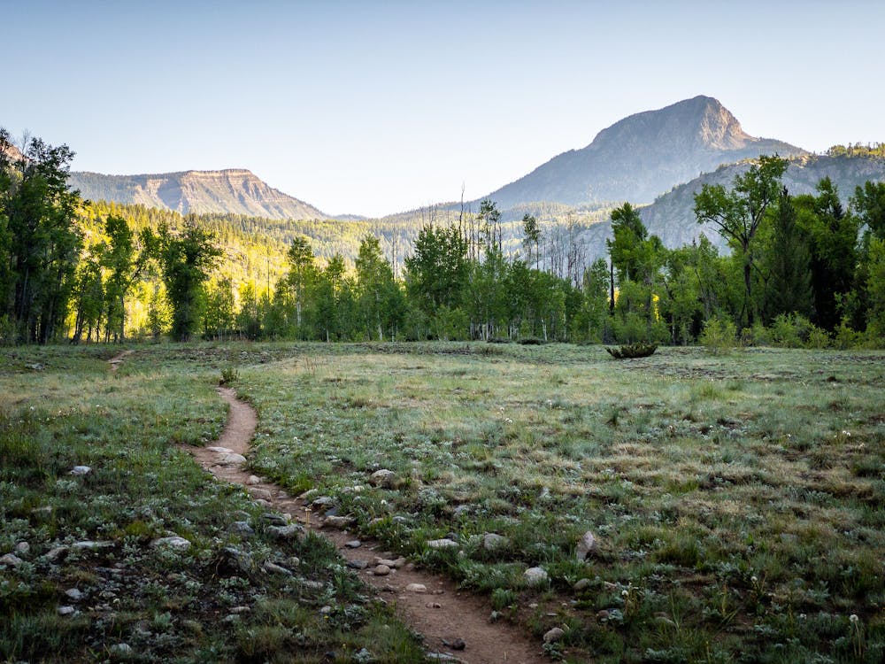
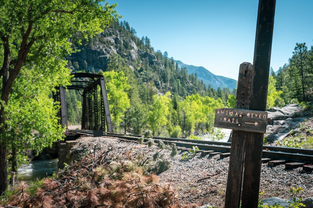
Purgatory Creek Trail and Animas River Trail to Needleton
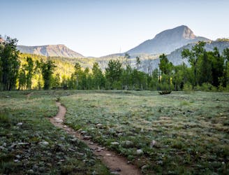
An alternative approach to the Needleton trailhead.
Difficult Hiking
- Distance
- 29 km
- Ascent
- 776 m
- Descent
- 776 m
A scenic hike at any time of the year!
Hiking Difficult

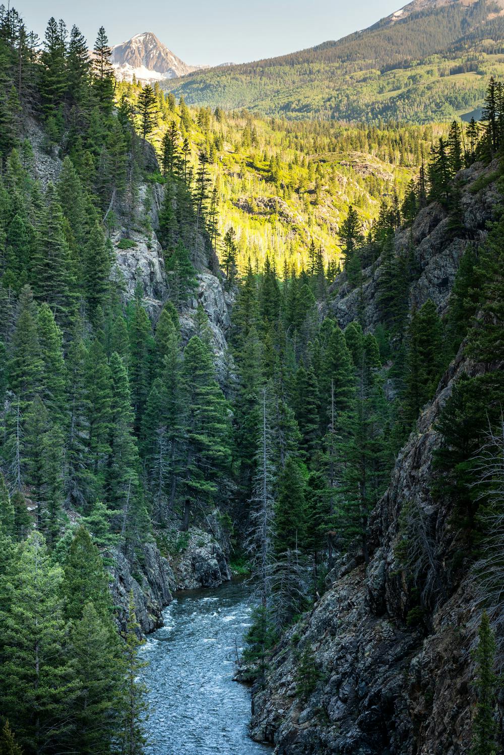
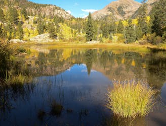
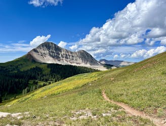
The Purgatory Creek Trail descends from Highway 550 all the way to the banks of the Animas River. This scenic trail connects to the Animas River Trail at the bottom, which subsequently leads to Needleton and the Weminuche Wilderness. However, the route mapped here simply covers the Purgatory Creek Trail.
You have a few different options to choose from on this trail. A popular short option outlined by 5280.com covers a 2.5-mile roundtrip hike to a viewpoint about 1,000 veritcal feet below the highway. Or, you could hike the entire 8-mile roundtrip distance to the river, which also covers some 1,500 feet of elevation loss and gain.
Whichever distance you choose, note that Purgatory Creek begins by descending from the highway, meaning that however far down you hike, you'll have to hike that amount of distance back uphill. While 1,500 vertical feet over the course of four miles isn't a substantial amount, less experienced hikers could find themselves in over their heads if they don't consider the difficulty of returning up the mountainside.
If you do hit the Purgatory Creek Trail, you'll enjoy a beautiful trail that "winds down a steep slope through large aspen groves along its eponymous stream, making it a cool and shady spot to hike in the heat of summer, as well as an ideal area to search for colorful aspen leaves come fall," according to Terri Cook on 5280.com.
Even if you do choose the shorter 2.5-mile option, you'll still drop nearly 1,000 vertical feet to the viewpoint—the steepest portion of the entire hike. If you continue beyond the overlook, you'll spend some time hiking through "the flats," an "open, grassy area along Cascade Creek," according to Cook. A few more miles beyond the flats, and you'll reach the Animas River itself.
Sources: 5280.com HikeArizona.com
Difficult
Hiking trails where obstacles such as rocks or roots are prevalent. Some obstacles can require care to step over or around. At times, the trail can be worn and eroded. The grade of the trail is generally quite steep, and can often lead to strenuous hiking.

The path is on completely flat land and potential injury is limited to falling over.

Little chance of being seen or helped in case of an accident.
2 m away
An alternative approach to the Needleton trailhead.
Difficult Hiking
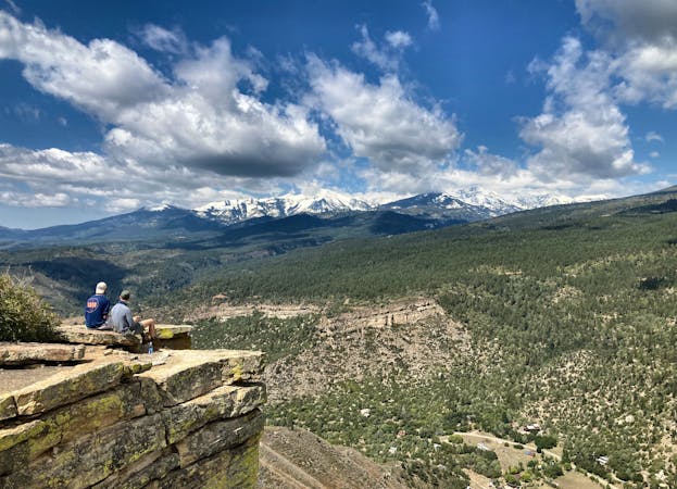
3.9 km away
A quick hike offering up stunning views.
Moderate Hiking
4.4 km away
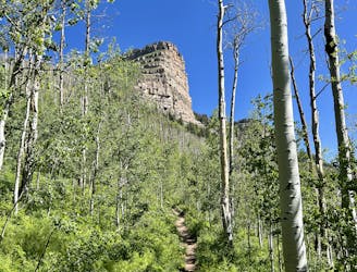
An approachable hike leads to a stunning view point from the top of Castle Rock.
Difficult Hiking
8.1 km away
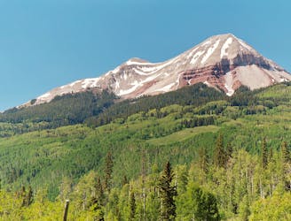
This out-and-back climbs the slopes of Engineer Mountain and rewards with high-altitude wildflowers, views of a rare rock glacier, and a technical summit ridge.
Extreme Hiking
8.1 km away
A popular conduit into the alpine.
Moderate Hiking
9.3 km away
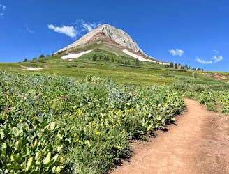
A high-value alpine loop hike easily accessible from the Million Dollar Highway.
Moderate Hiking
10 routes · Alpine Climbing · Hiking