3.9 km away
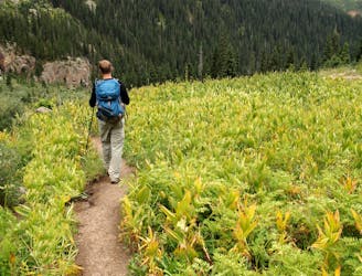
Purgatory Creek Trail and Animas River Trail to Needleton

An alternative approach to the Needleton trailhead.
Difficult Hiking
- Distance
- 29 km
- Ascent
- 776 m
- Descent
- 776 m
A quick hike offering up stunning views.
Hiking Moderate

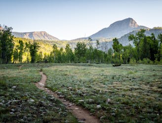
Spud Lake is a beautiful short hike that's popular with locals and tourists alike. While most of the lake hikes near Durango are long and arduous, this quick hike appeals to hikers looking for a relaxing outing in the woods.
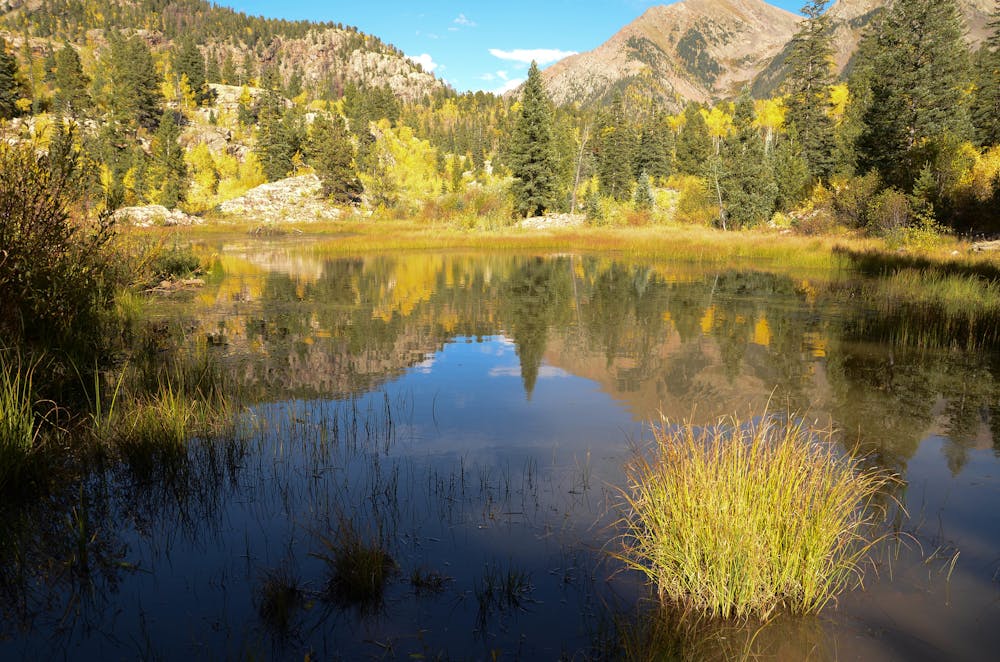
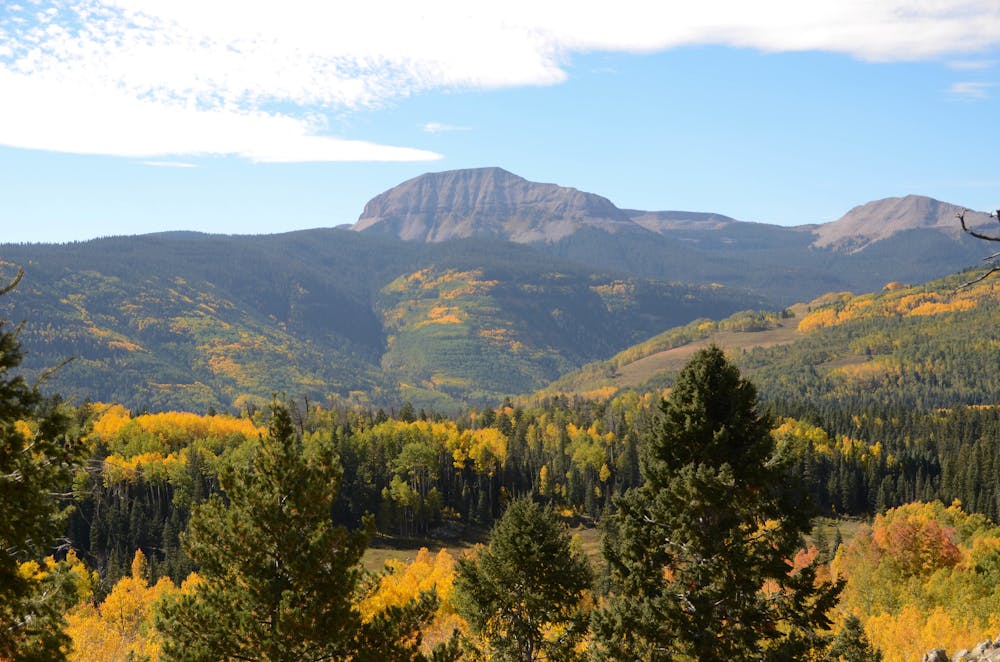
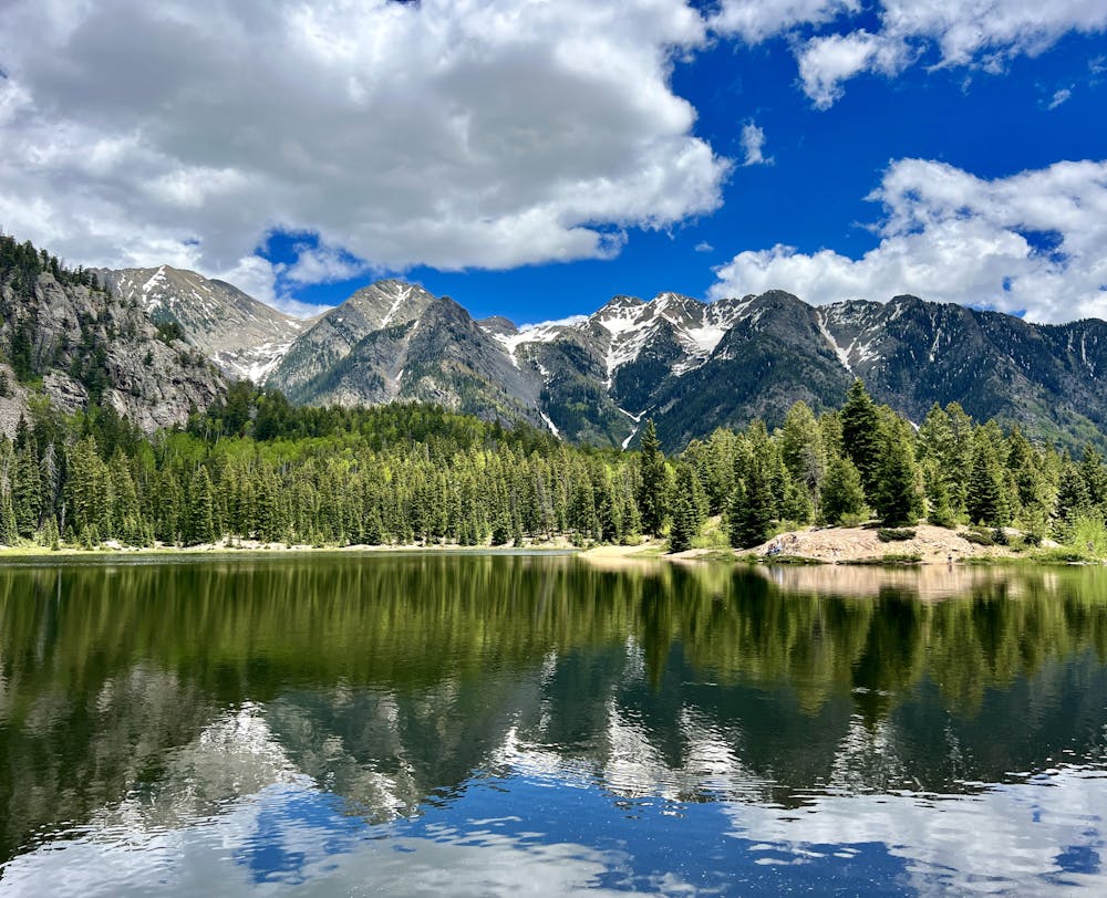
Located just up Highway 550 from Durango, three miles of hiking and about 450 feet of vertical gain will allow you to reach the lake, circumnavigate it, and return to your car. For a shorter two-mile hike, simply hike to the Spud Lake and skip the circumnavigation.
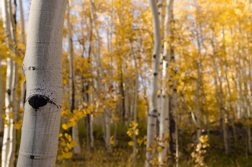
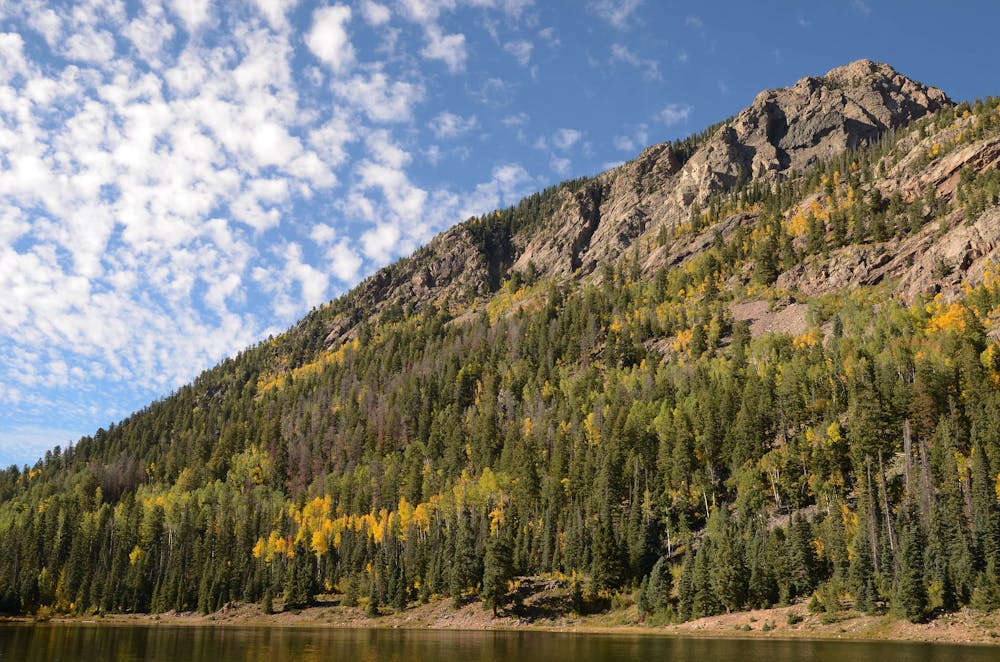
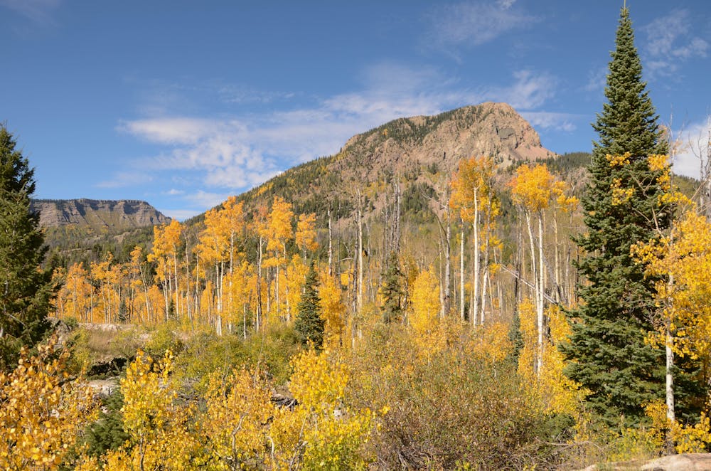
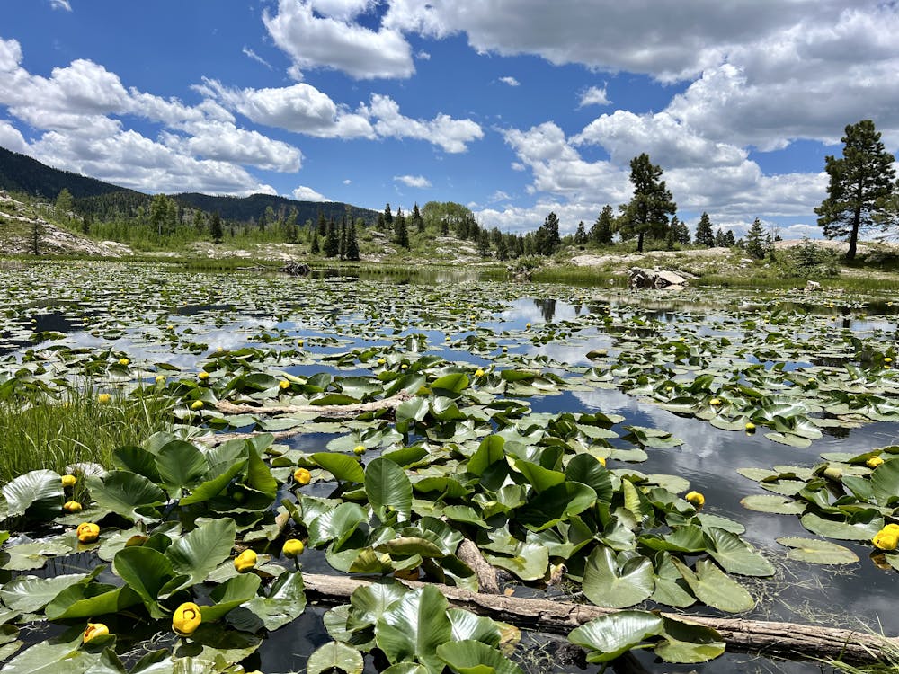
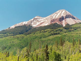
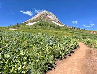
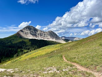
At the trailhead, you'll spot a smaller lake filled with lily pads, and then almost immediately head into a beautiful aspen grove. In the fall, the aspen leaves turn a brilliant gold simultaneously, providing some of the most beautiful fall colors imaginable! Views open up through the trees and as you cross a wetland, allowing you to spot nearby Spud Mountain and the West Needle Mountains.
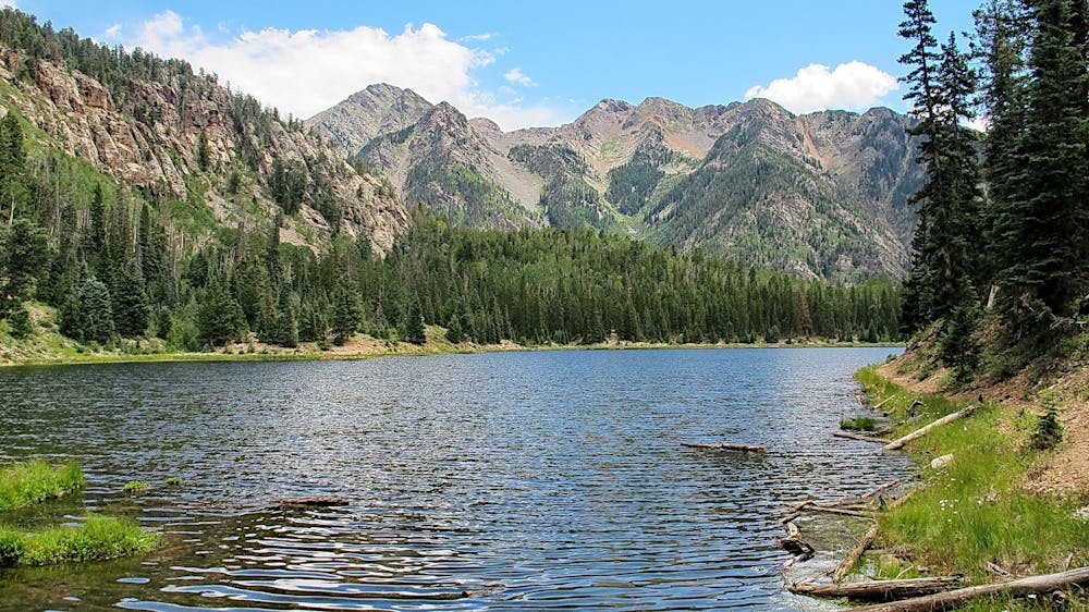
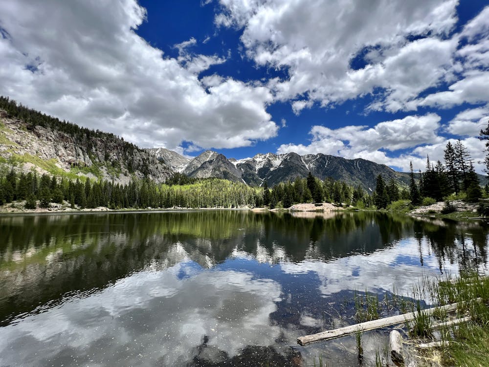
Once at the lake, Jake Case of TerritorySupply.com encourages you to explore along the lakeshore. "While the initial view at the trail’s end is nice, there are prettier views elsewhere," writes Case. "Likely the best is over toward the west end of the lake where the West Needles and their craggy tops provide a classic Rocky Mountains backdrop," he continues.
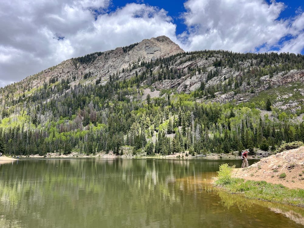
Once you've finished with the stunning views at Spud Lake, retrace your steps to your car.
Sources: DurangoTrails.org TerritorySupply.com
Moderate
Hiking along trails with some uneven terrain and small hills. Small rocks and roots may be present.

The path is on completely flat land and potential injury is limited to falling over.

Away from help but easily accessed.
3.9 km away
An alternative approach to the Needleton trailhead.
Difficult Hiking
3.9 km away
A scenic hike at any time of the year!
Difficult Hiking
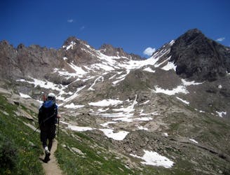
5.1 km away
This out-and-back climbs the slopes of Engineer Mountain and rewards with high-altitude wildflowers, views of a rare rock glacier, and a technical summit ridge.
Extreme Hiking
5.1 km away
A popular conduit into the alpine.
Moderate Hiking
6.2 km away
A high-value alpine loop hike easily accessible from the Million Dollar Highway.
Moderate Hiking
7.4 km away
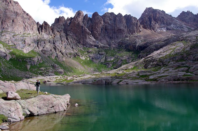
Climb 7 miles to reach your basecamp in the Chicago Basin.
Difficult Hiking
7.4 km away
A two-peak combo deep in the Weminuche Wilderness featuring one of Colorado's most technical 14ers.
Extreme Hiking
7.4 km away
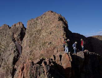
Climb two of Colorado's most remote 14ers, hidden deep in the Weminuche Wilderness.
Extreme Hiking
8.1 km away
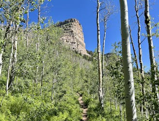
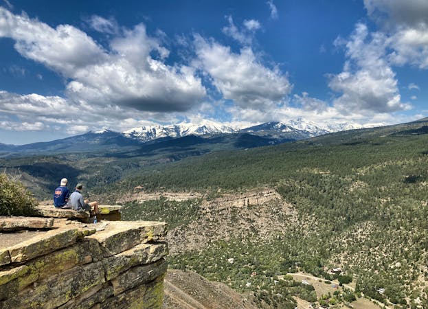
An approachable hike leads to a stunning view point from the top of Castle Rock.
Difficult Hiking
3 routes · Alpine Climbing · Hiking
10 routes · Alpine Climbing · Hiking